El Perro Negro

Grumpy old mountain man living in Spain

Social-Feed

El Perro Negro (@elperronegro) on Khumbu

1/ Casilla de Agua - Peñon de Granada - Rambla del Durcal Sierra Nevada

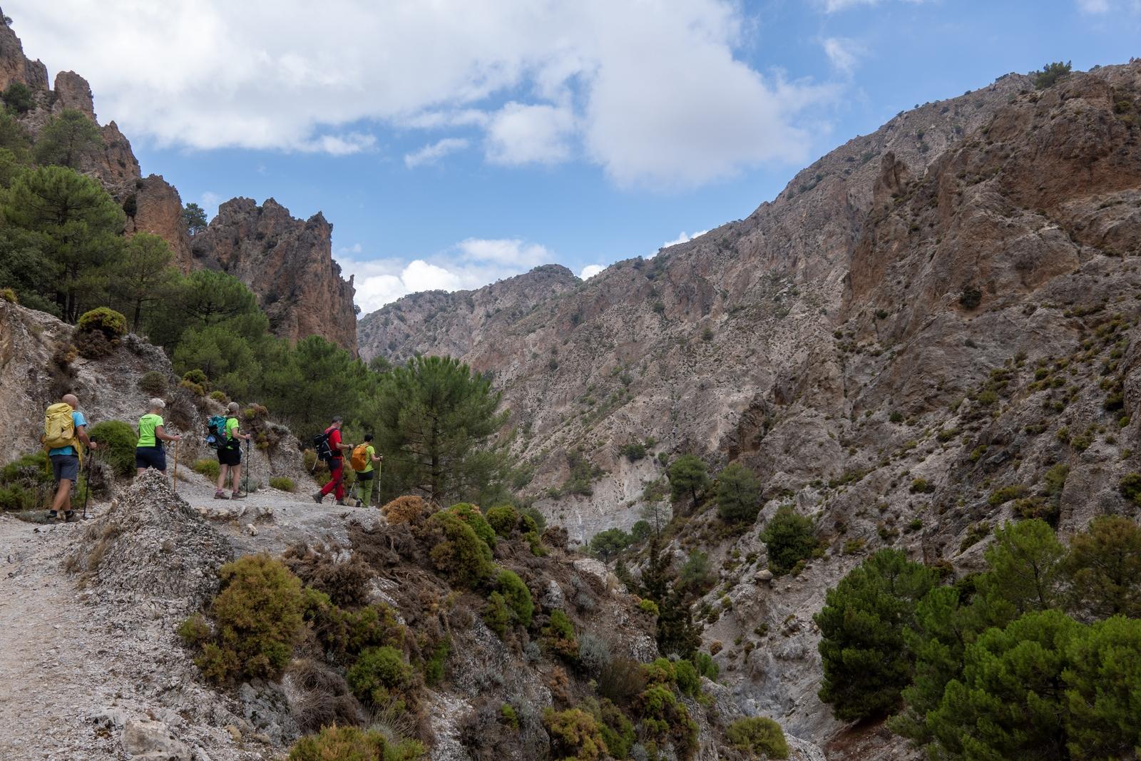
Yesterday we explored the hills east of Durcal. A tough 800m of initial ascent made much easier by an unrelenting but well graded track that zig-zagged up the hill.

We made our way through the forested back country near the Peñon de Granada and then proceeded down dirt tracks to drop into Rambla del Durcal.
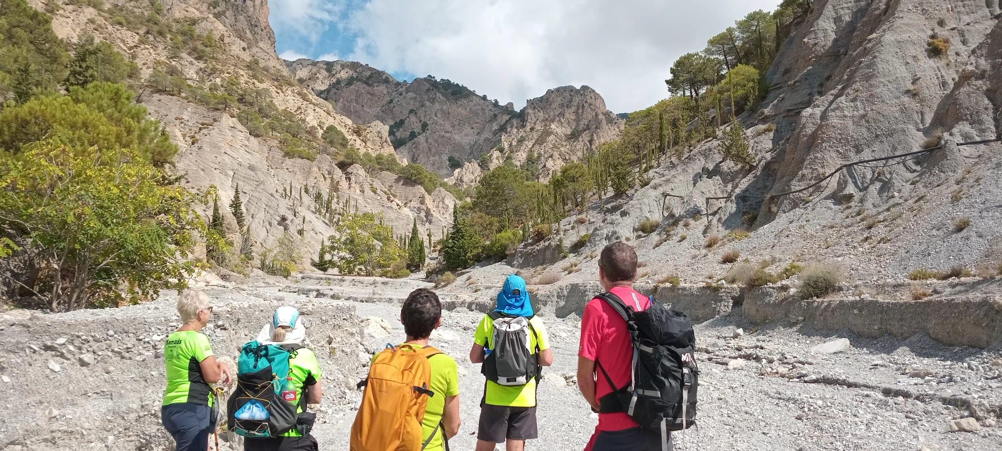
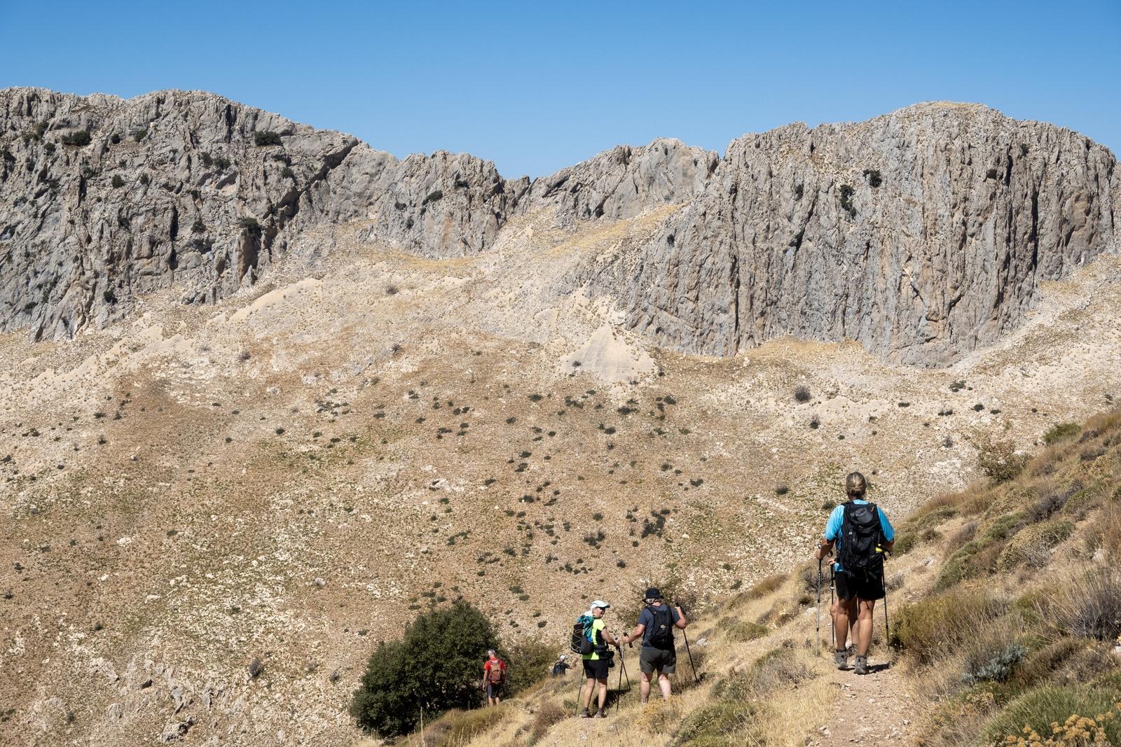
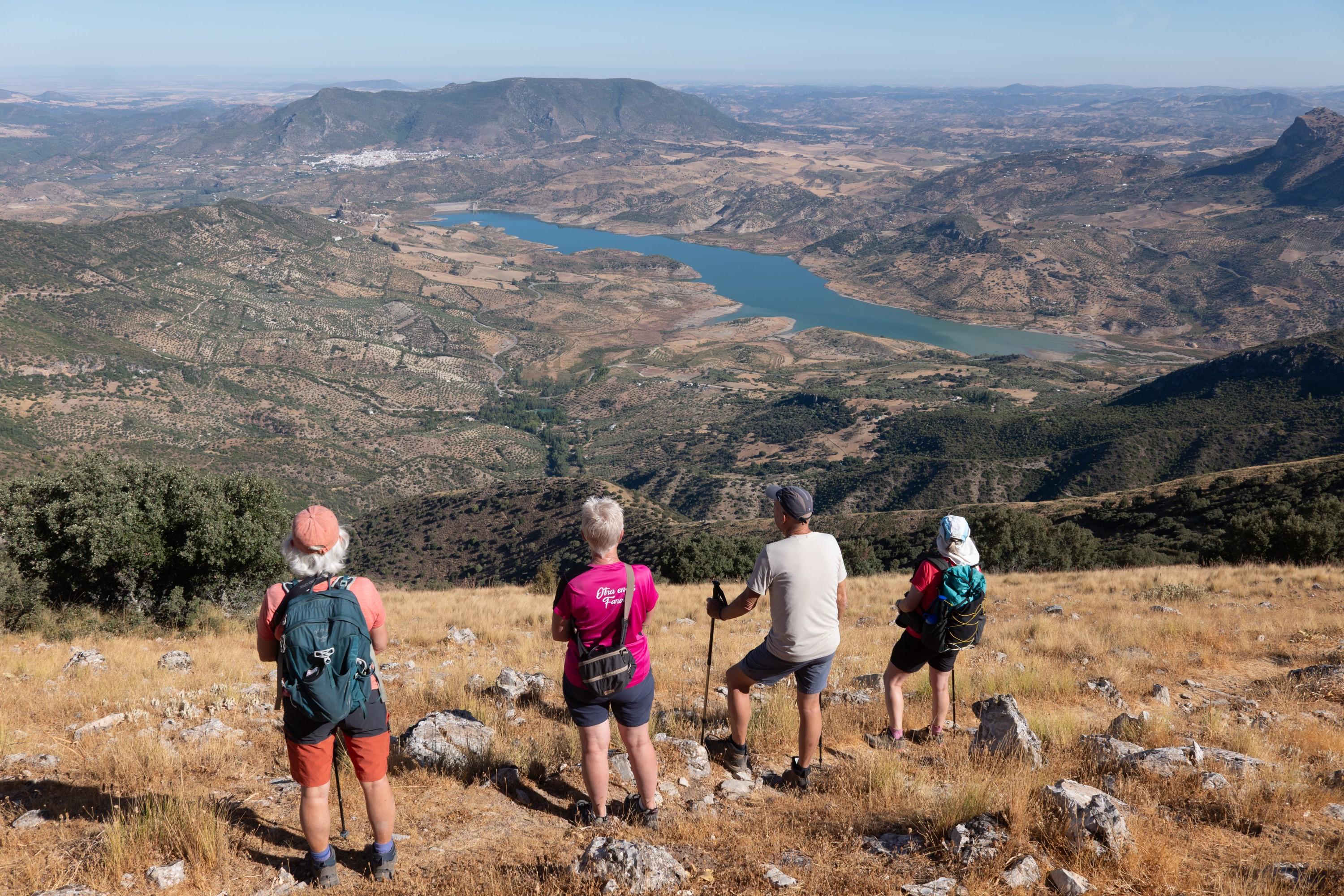
5 hikers gaze up into the heart of the rough arid valley of the Rambla del Durcal

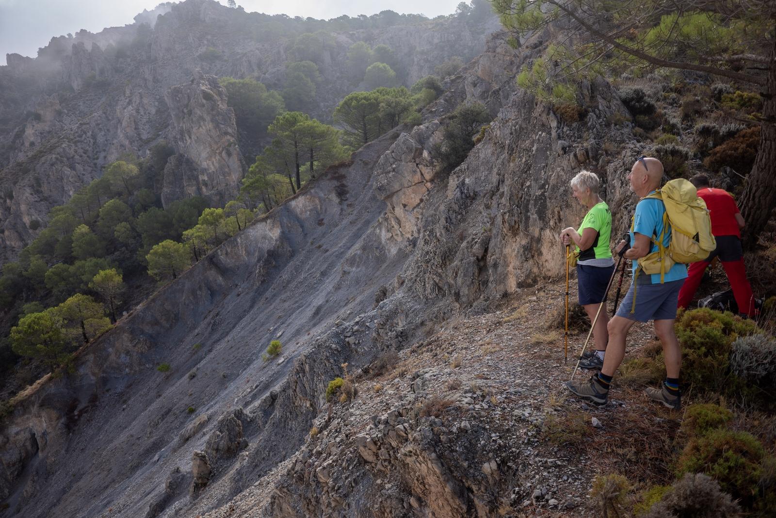
3 people on the right stand at a high viewpoint over an arid hillside with a few trees. Cloudier conditions higher

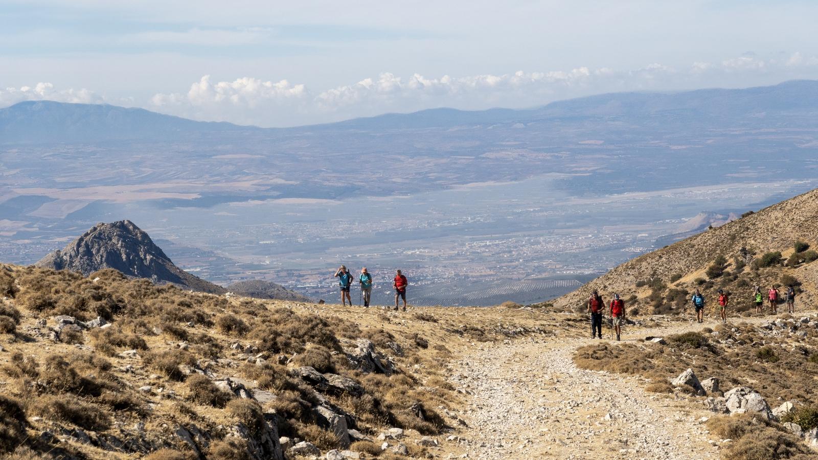
Hikers on a high mountain track on the right with a valley to their right and mountain beyond

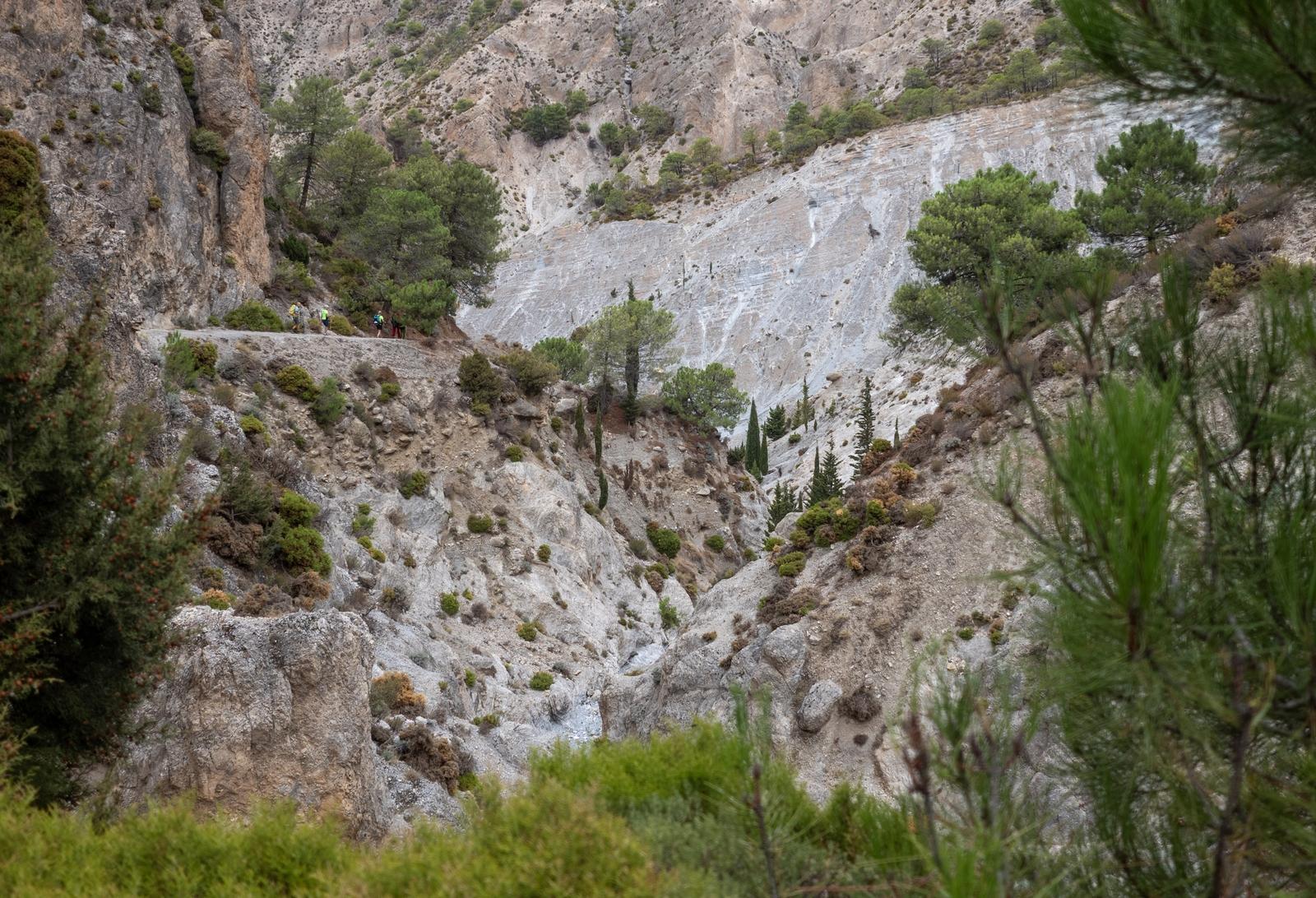
People seen on a ledge crossing high above a arid valley. The photo is framed by trees and shrubs

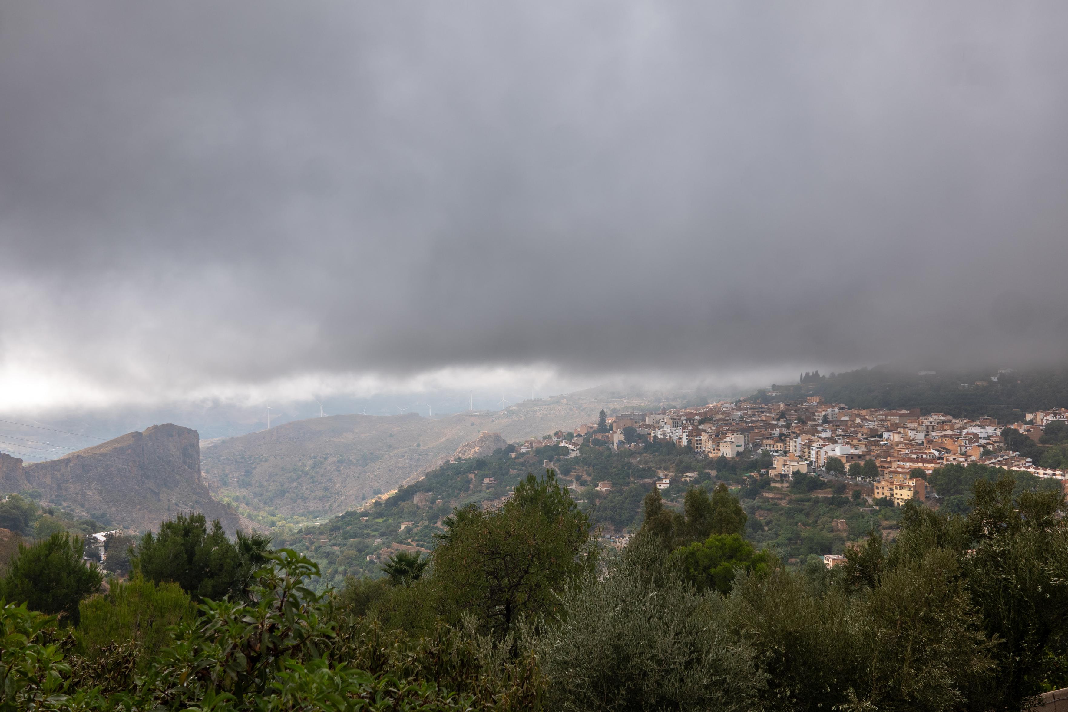
There's a village down there after all. Nice to have the first rains, since seemingly forever, today. Lanjarón, Alpujarras

Below a grey dense cloud level a cliff to the left and a village to the right appears. Trees in the foreground

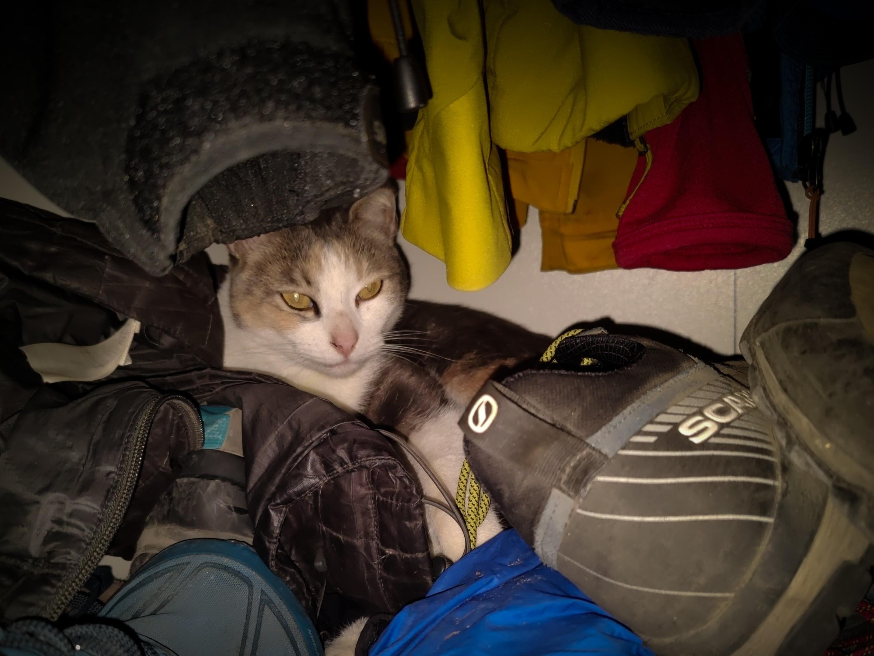
Cats are funny things aren't they? This is Sweep who this morning decided to open an old wardrobe full of smelly hiking gear and aged boots and settle down for a morning nap. Gave me a right start when I opened the door 🤣

A brown and white cat snuggles down between old hiking boots and clothes

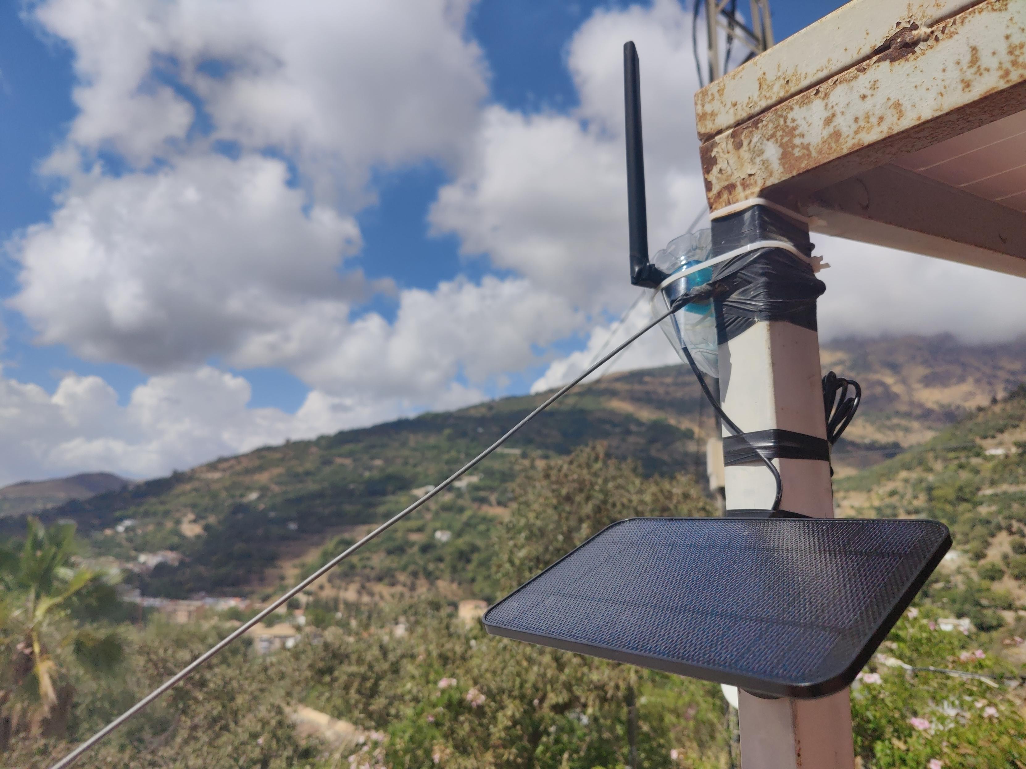
Repeater set up on roof. Contains a Heltec T114 low power consumption development board based on nRF52840 and SX1262 and supports and bluetooth 5.0. Has powerful long-distance capabilities.

Made weatherproof using an old water bottle. Attached using cable ties and a rusty pocket knife 🤣

Attached to a 4w solar panel with 2000 mAh battery charger (IP65)

A solar panel sits suspended below an old water bottle containing a small radio. A black antenna protrudes from the bottle. Green hillsides beyond. White clouds in a blue sky

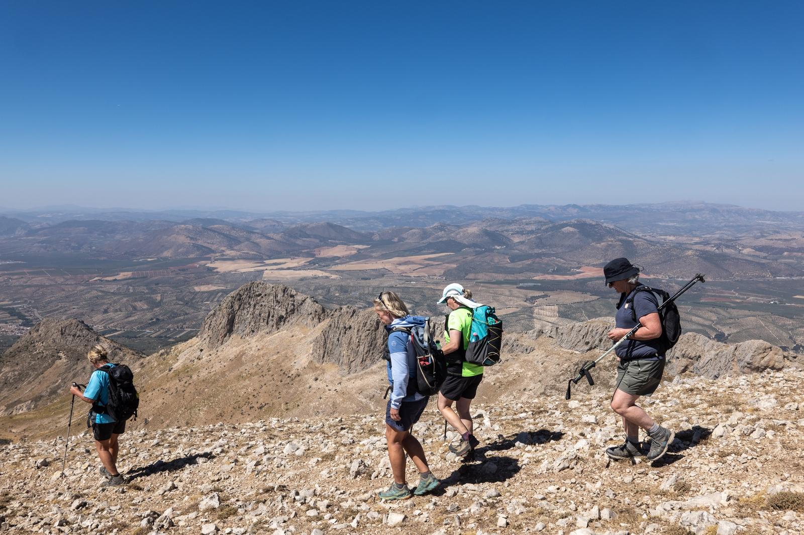
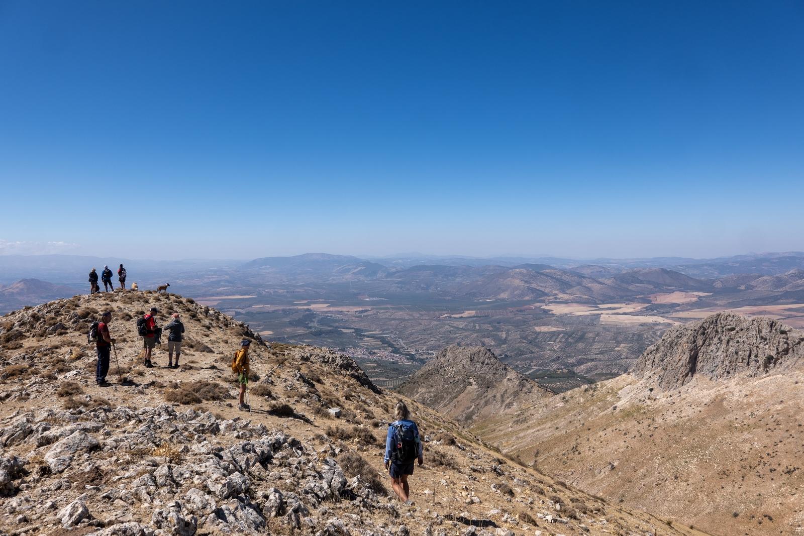
1/ Over the years we must have had over a hundred days walking and scrambling in the Sierra de Huetor just north of Granada. Yesterday, though we filled in the final piece of our Sierra de Huetor jigsaw!

4 hikers walk along a high ridge with distant views beyond. Blue skies

At the col before Cerro Telegrafo. The peak to the left is Peñon de la Mata

A hiking group on the broad ridge beyond Cerro Orduña

Descending down the trail towards the end. The rocky Sierra Arana ridge beyond dominates

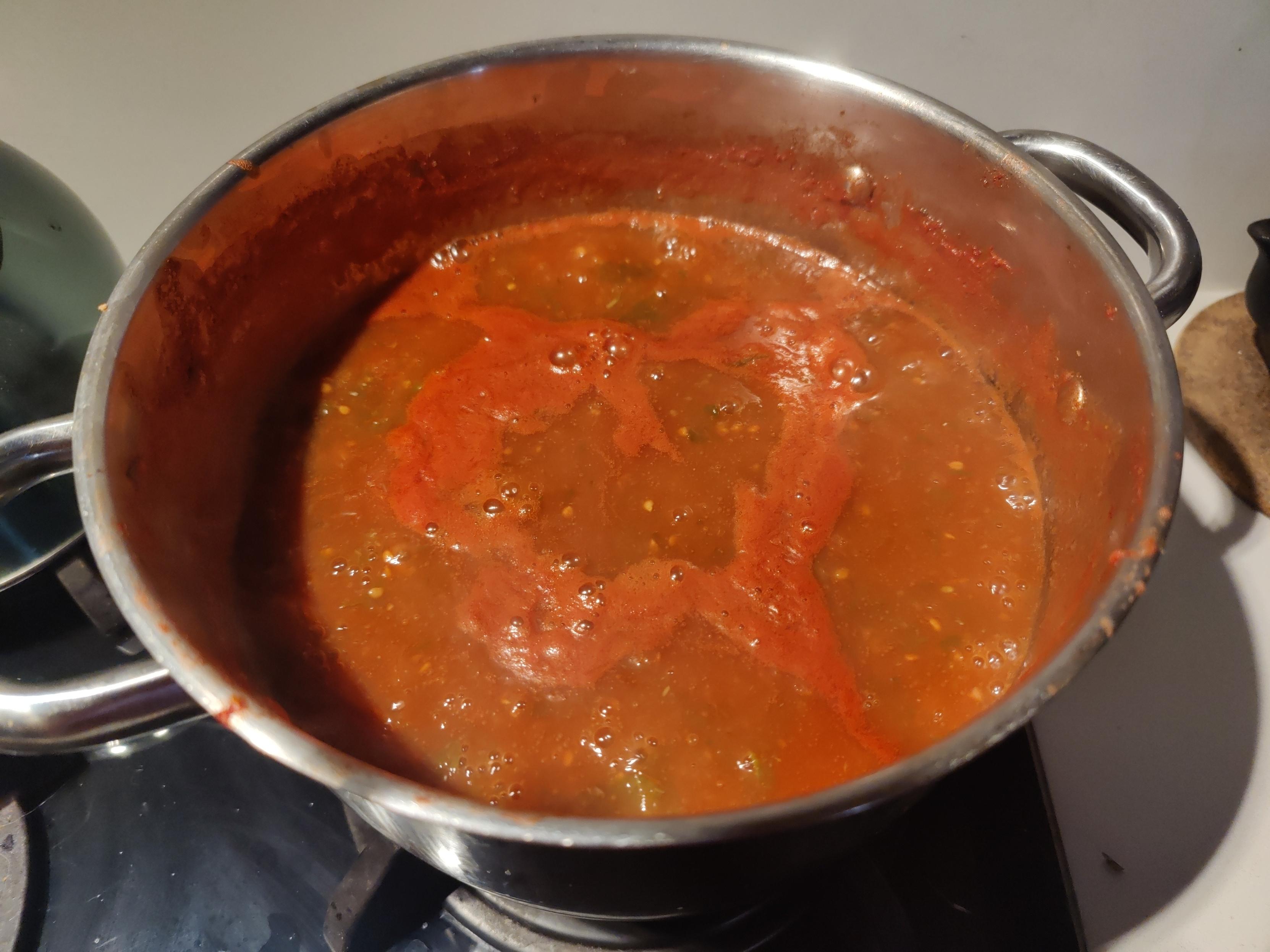
Got lots of ripe tomatoes donated by a friend that need something doing to them quickly. Passata Rustica it is then, flavoured with basil from the garden. Simple, quick and very tasty.

Vibrant red colours from tomatoes booking in a metal pan on a hob

Continuing quest for de-googling & less reliance on big-tech ... just bought a refurbished OnePlus 6 from Ebay (75€). No SIM, it is after all just a small computer. WiFi or hotspot for connections. Flashed LineageOS (de-Googled Android). Installed FDroid & a few necessary apps/PWAs from there ... Proton, Tuta, Element, Jerboa (Lemmy) & of course Mastodon. Turned off notifications. Zero bloat.

Used it for 6 hours navigation in the hills yesterday using CoMaps & location on. Battery 91%. Result

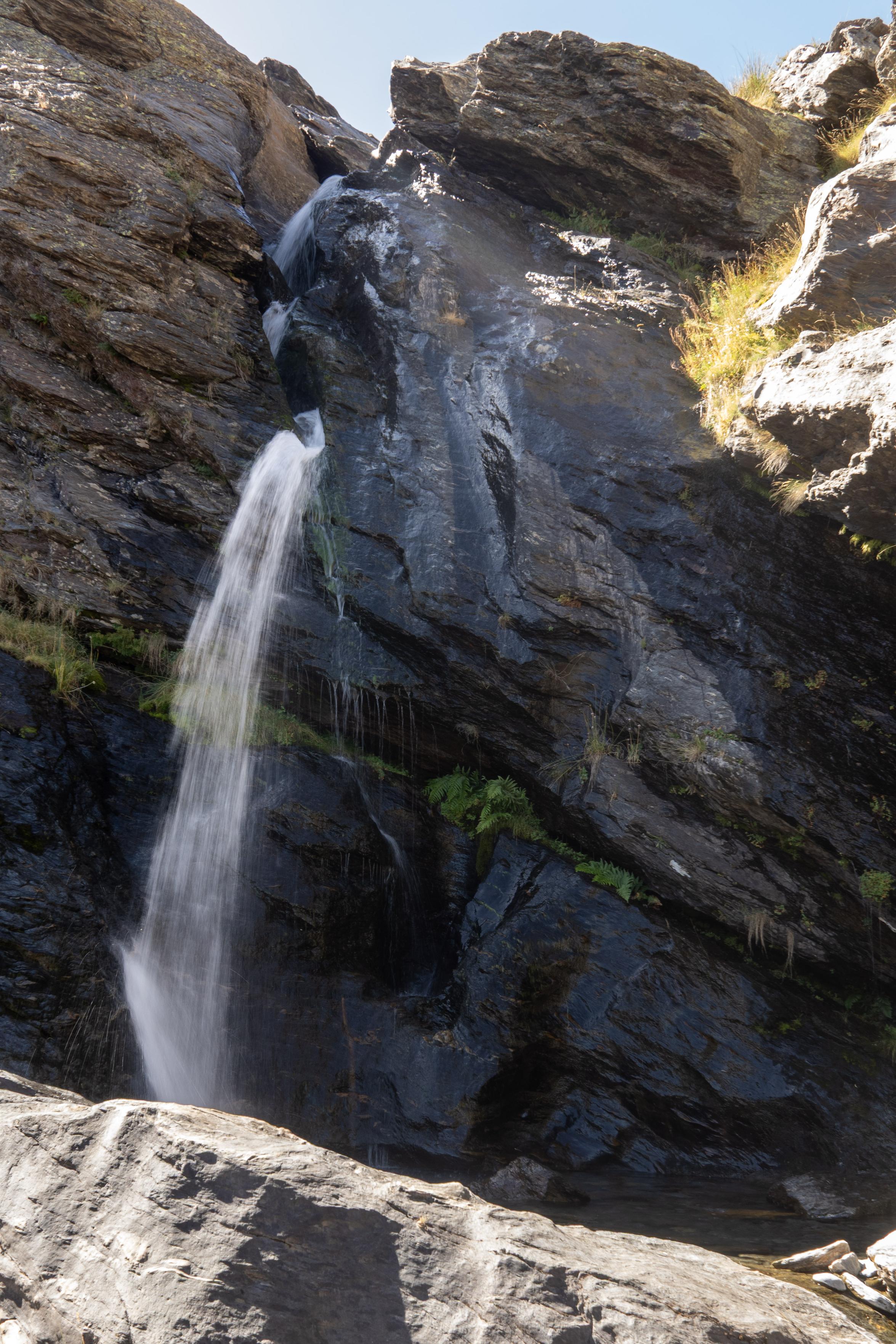
Hiked down the San Juan valley in the Sierra Nevada yesterday. Surprised to find the waterfall at Piedra Resbaladiza still flowing quite well even towards the end of a long, hot, Spanish summer.

Waterfall emerging from between black rocks with some small fractures containing green shrubs and plants

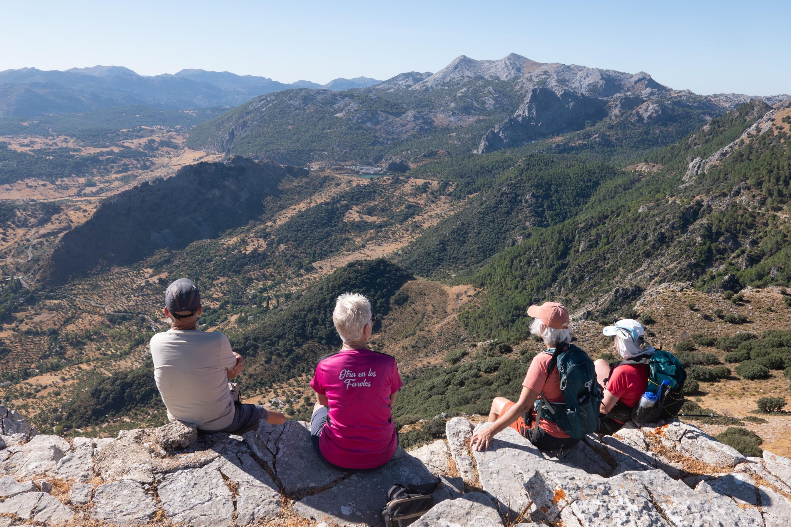
Another hot day so we settled for an early start and a short hike to the magnificent viewpoint of Coros (1305m) in the Sierra de Grazalama mountains via Puerto de las Palomas. Great scenery 360° views. Must come back in the winter.

Loads of vultures overhead probably looking at us as a prospective next meal 😆. Think @khusky may have some incredible images in due course.

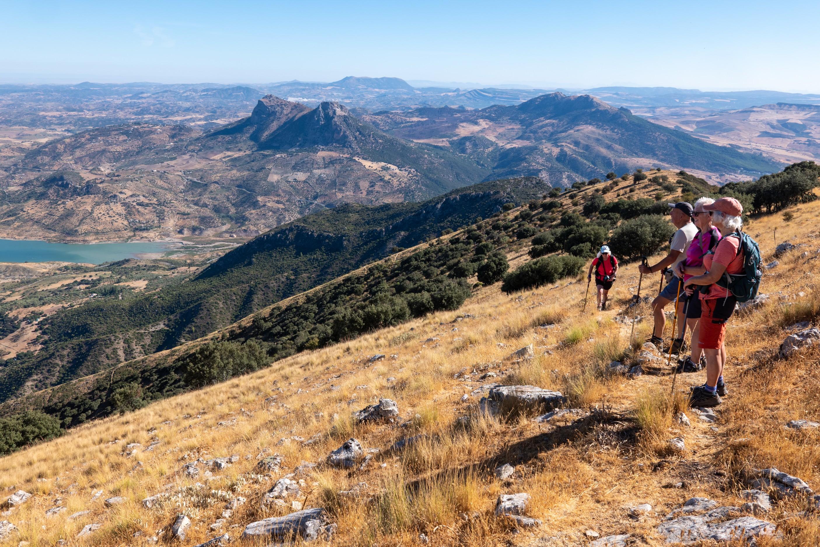
4 people in colourful tops sit at the summit of a mountain looking at a view to distant mountains, the Sierra de Grazalama

Looking down to the Rio Guadalete and Zahara de la Sierra

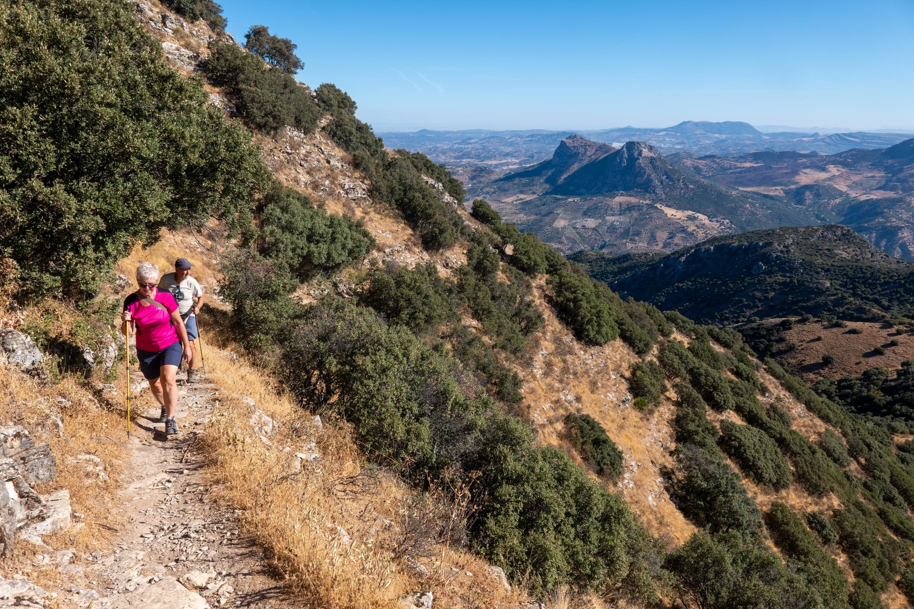
A person in pink comes along a mountain trail with distant views

Nearing the summit of Coros looking north towards Zahara de la Sierra and the plains towards Sevilla

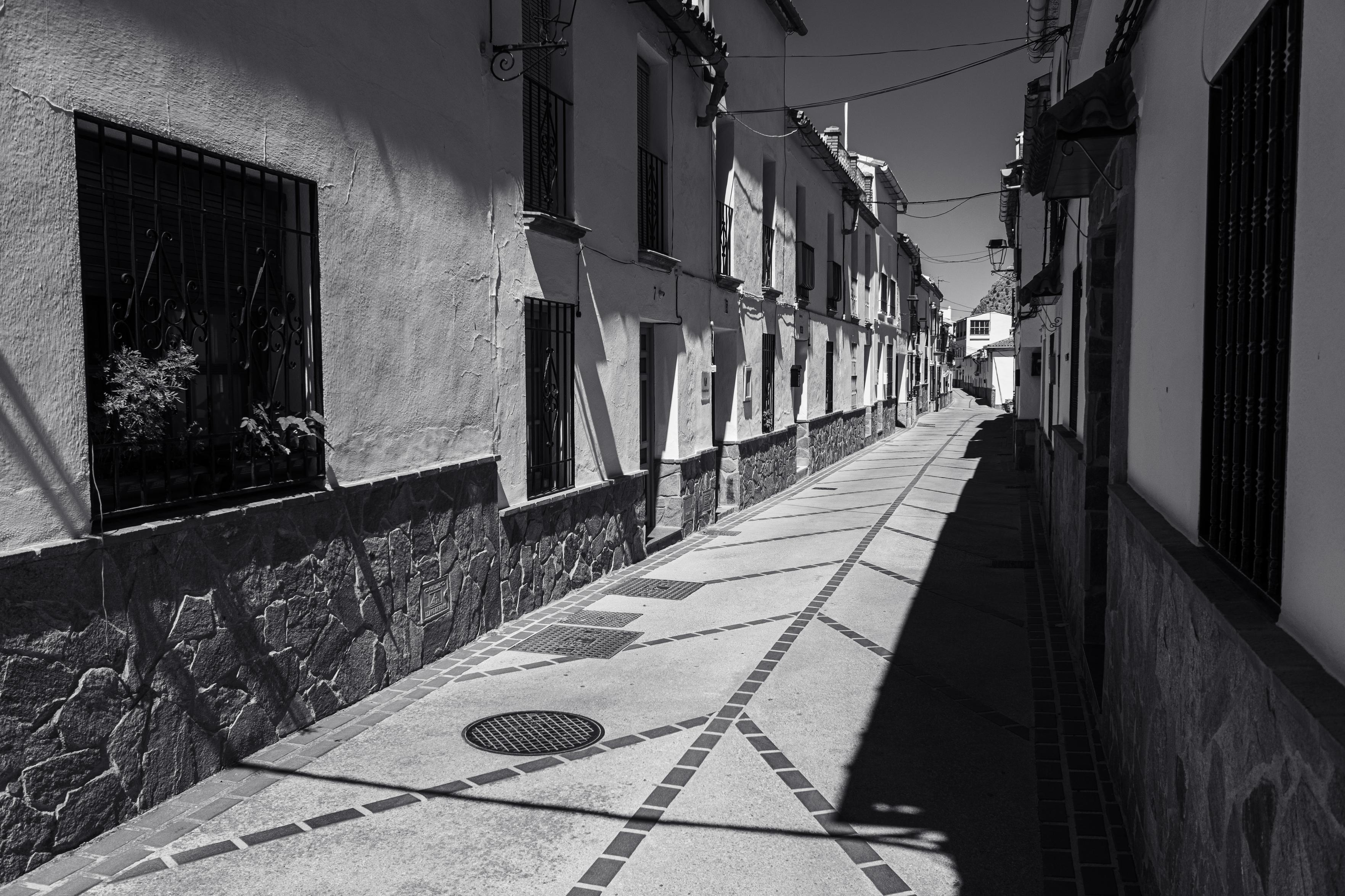
Deserted Spanish street in the hot afternoon sun. Montejaque, Ronda

Black and white lines along a street throwing dark and sharp shadows

Tough hike in the mountains south of Montejaque (Ronda) today because of the high afternoon temps. Superb views though with plenty of Griffon Vultures passing overhead, probably eyeing us out as a likely evening meal? Some steep pathless descents added interest. Must come back. In the winter!

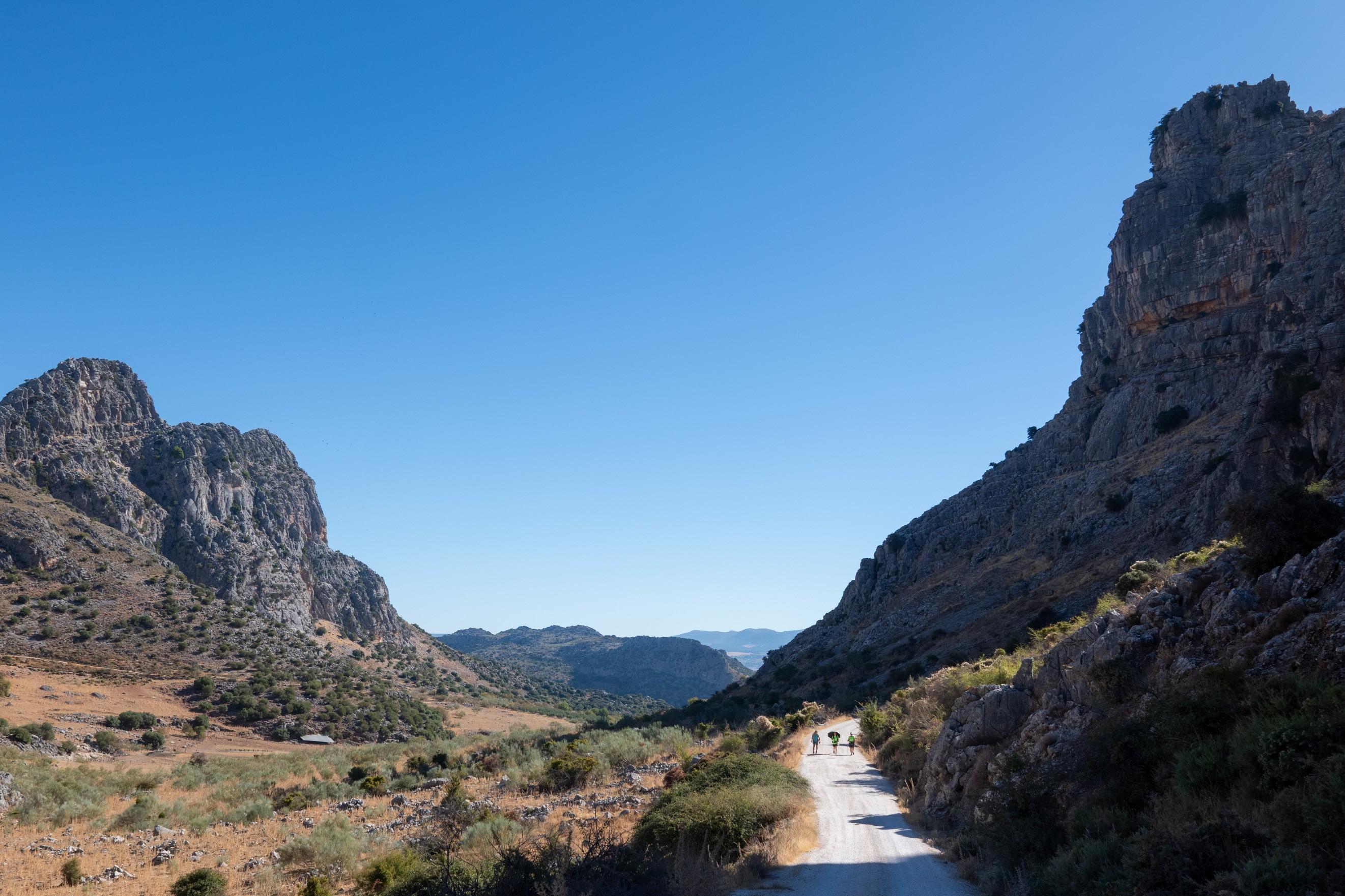
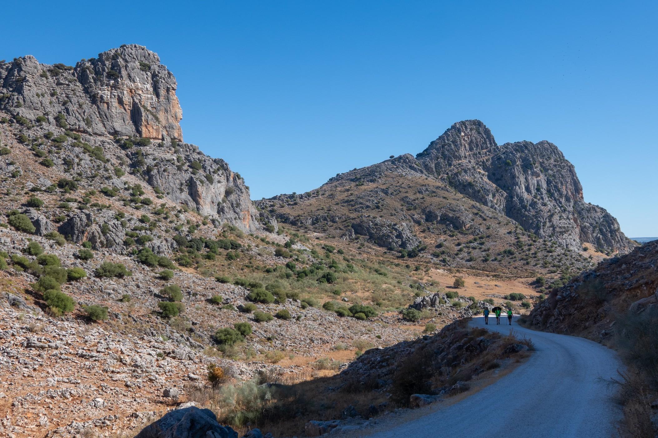
3 people pass along a wide trail with shadowed mountainside to the right

Mountains in the sun either side of a wide hiking trail with 3 hikers shown

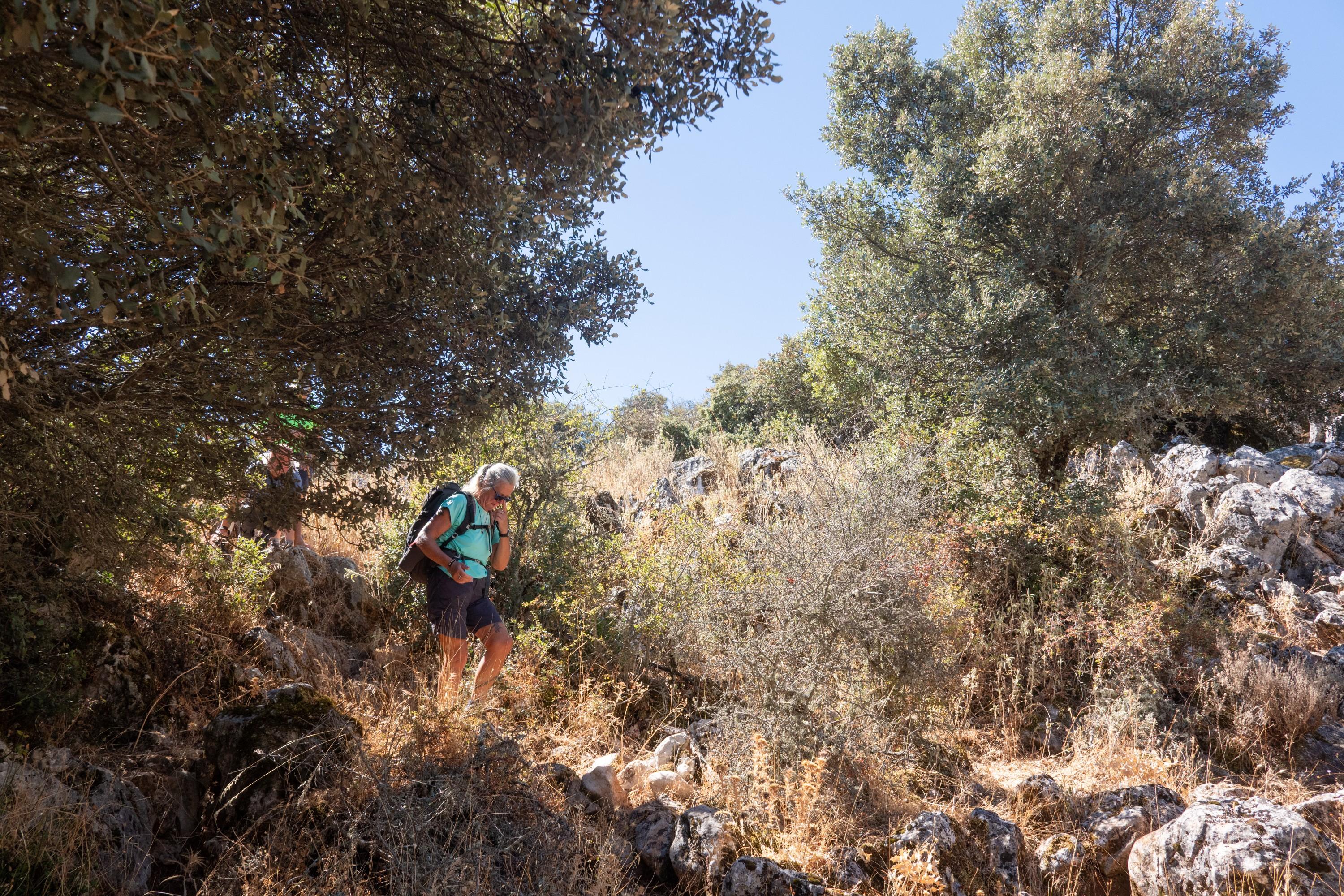
Descending difficult and very faint paths

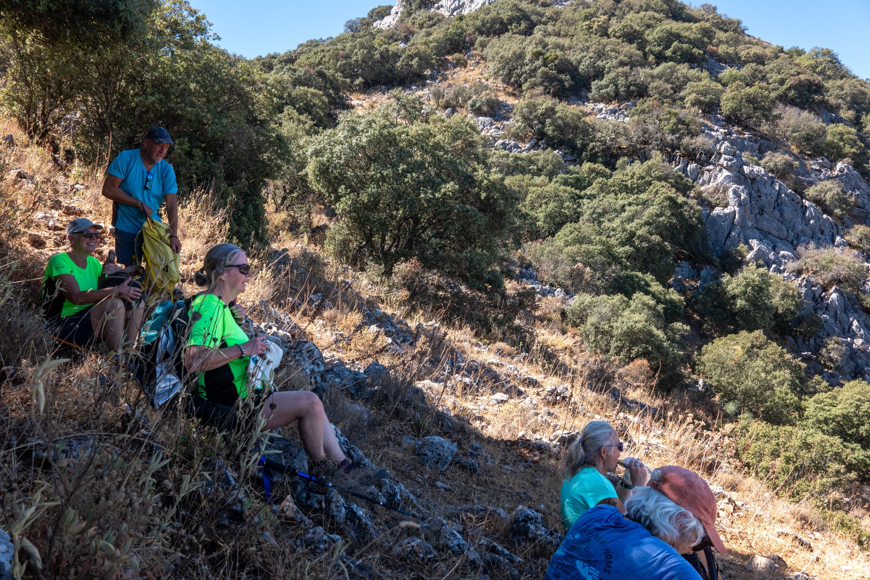
Lunch stop amid a shaded and steep hillside

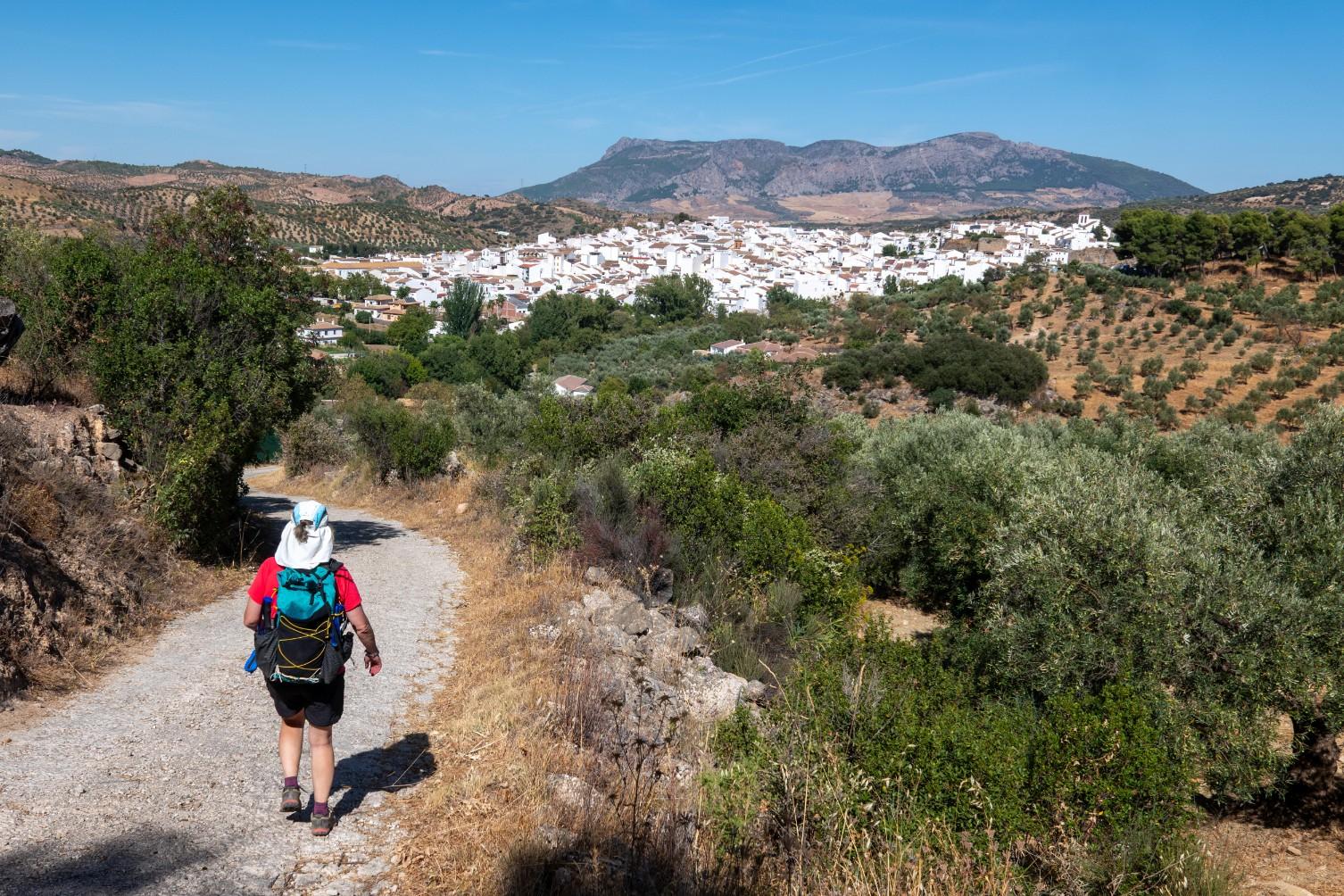
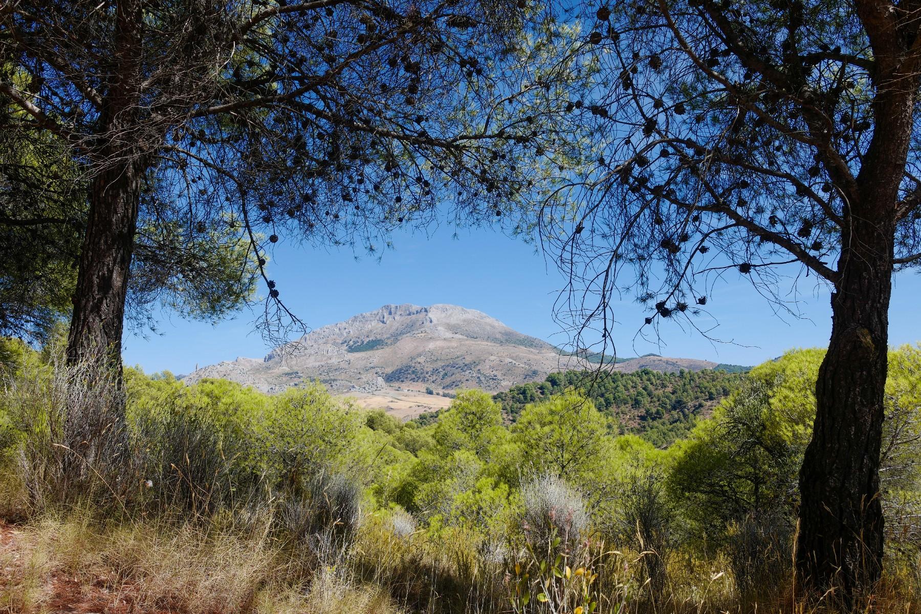
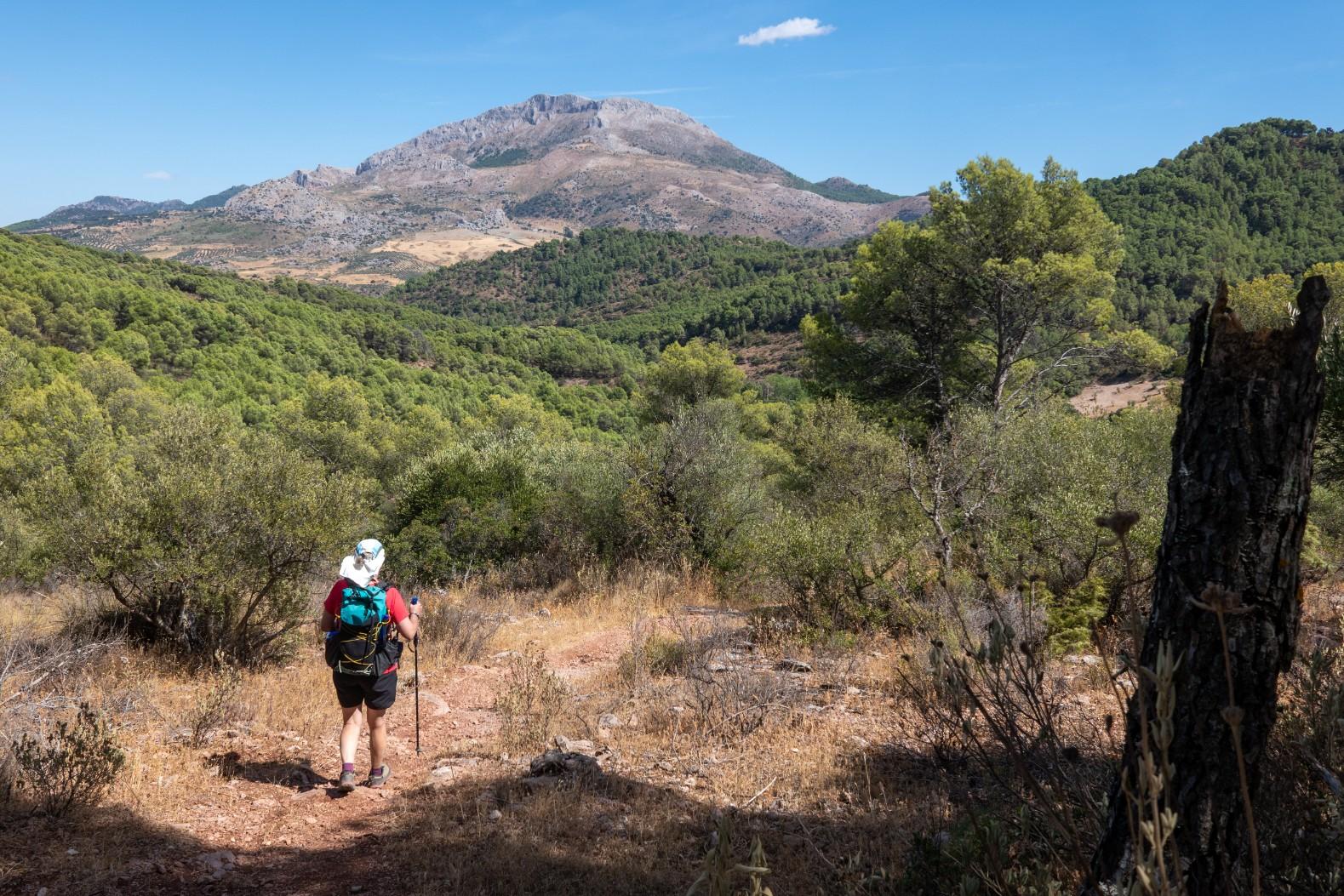
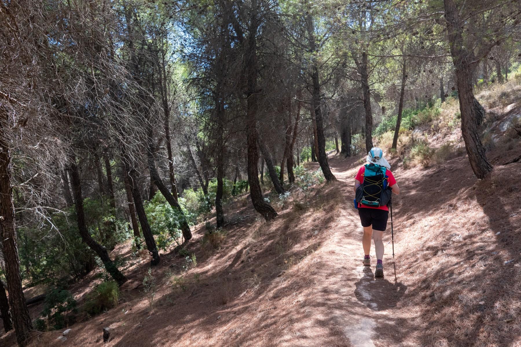
Today a visit to the northern sector of the stunning Sierra de las Nieves. Circular hike from the village of El Burgo. Enjoyed it. Tomorrow we head into the Sierra de Grazalama mountains

Descending back to El Burgo at the end of the day

Stunning mountain scenery framed between two trees

A person walks along a trail with mountains in the distance

Person on a path hiking through a pine forest

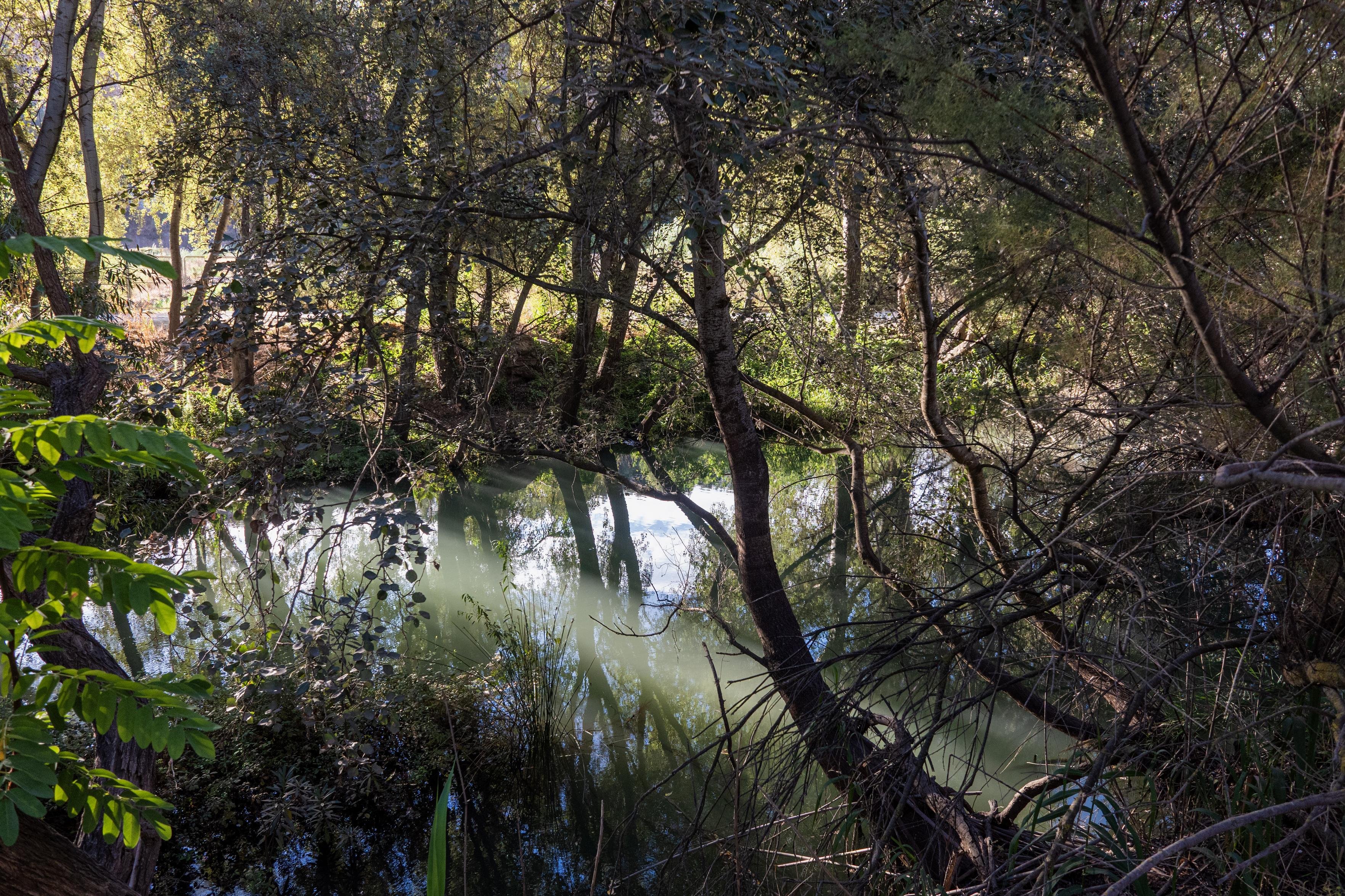
Quiet serene river waters reflect the surrounding vegetation and trees. Patches of sunlight filter through

The banks of the Rio Guadalfeo during our dog walk today. This river quietly makes it's way to the sea at Salobreña in the Costa Tropical.

Quiet serene river waters reflect the surrounding vegetation and trees. Patches of sunlight filter through

Love the final line of this article

"You finish reading "This Is for Everyone" wishing that somehow the Cleggs and Zuckerbergs of this world would vanish, and that Facebook and the rest of social media could be run by Berners-Lee – who would immediately give them away to the users, because he really does believe that this is for everyone."

https://observer.co.uk/culture/books/article/nick-clegg-and-tim-berners-lee-the-battle-for-the-soul-of-the-internet

1/ "Ruta Nocturna - Sierra Nevada"

Started with a 6pm bus uplift to los Posiciones del Veleta. Hiked to Col de Carihuela and hence to our dinner/sunset viewpoint on top of Loma Pua at just over 3200m. Amazing location with views in all directions

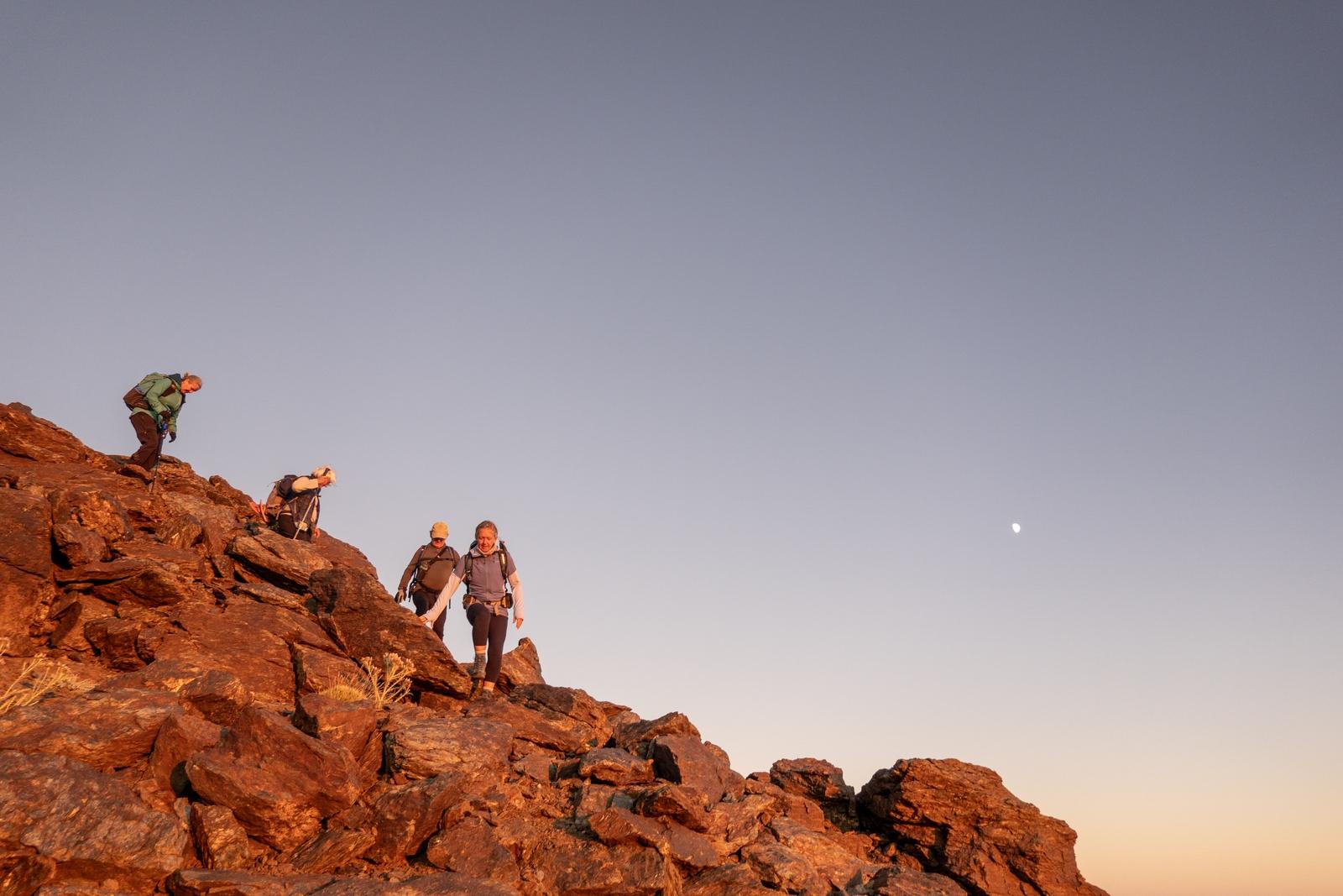
Descending from Loma Pua after sunset

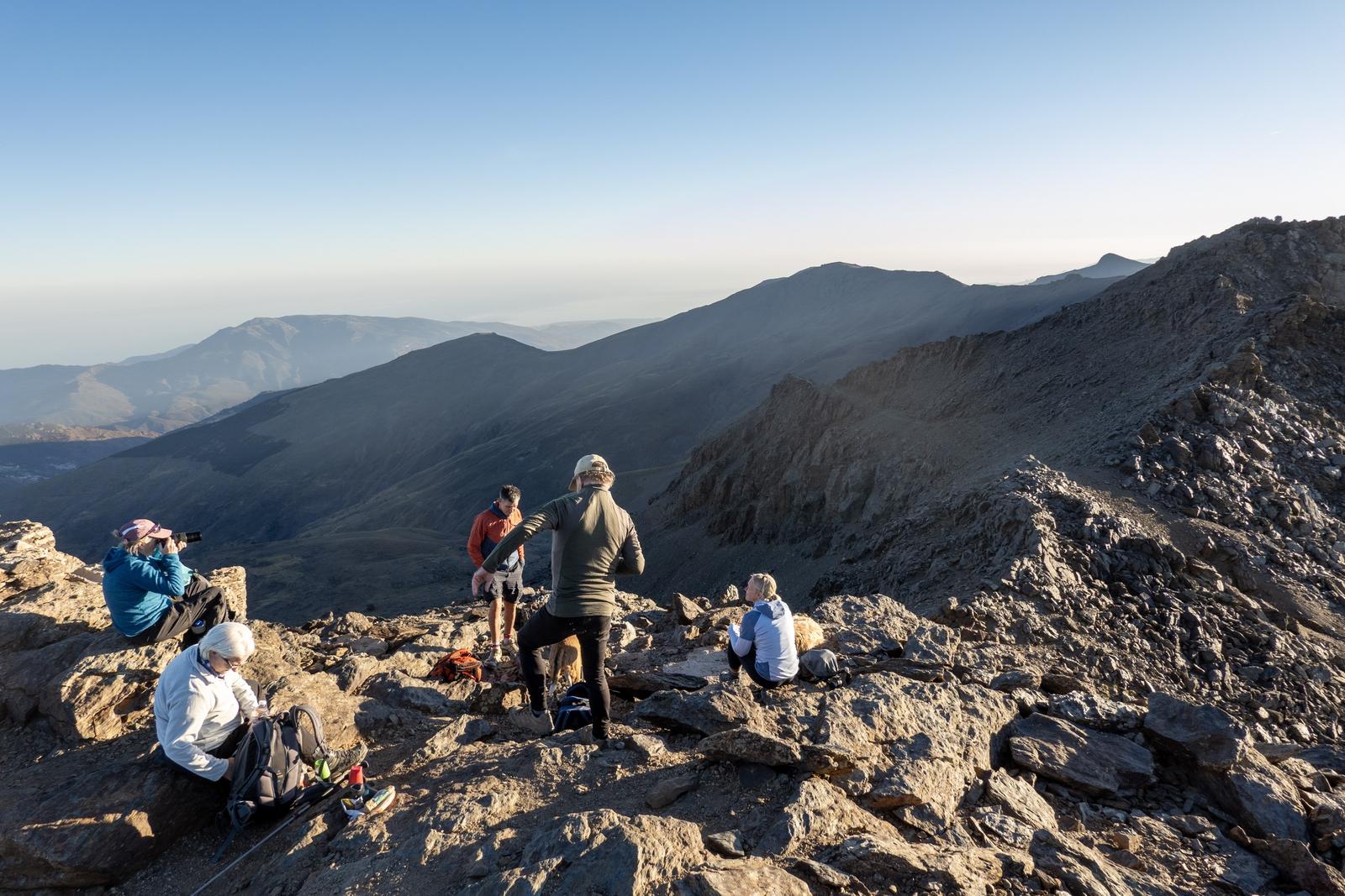
Hikers at the summit of Loma Pua enjoying the views

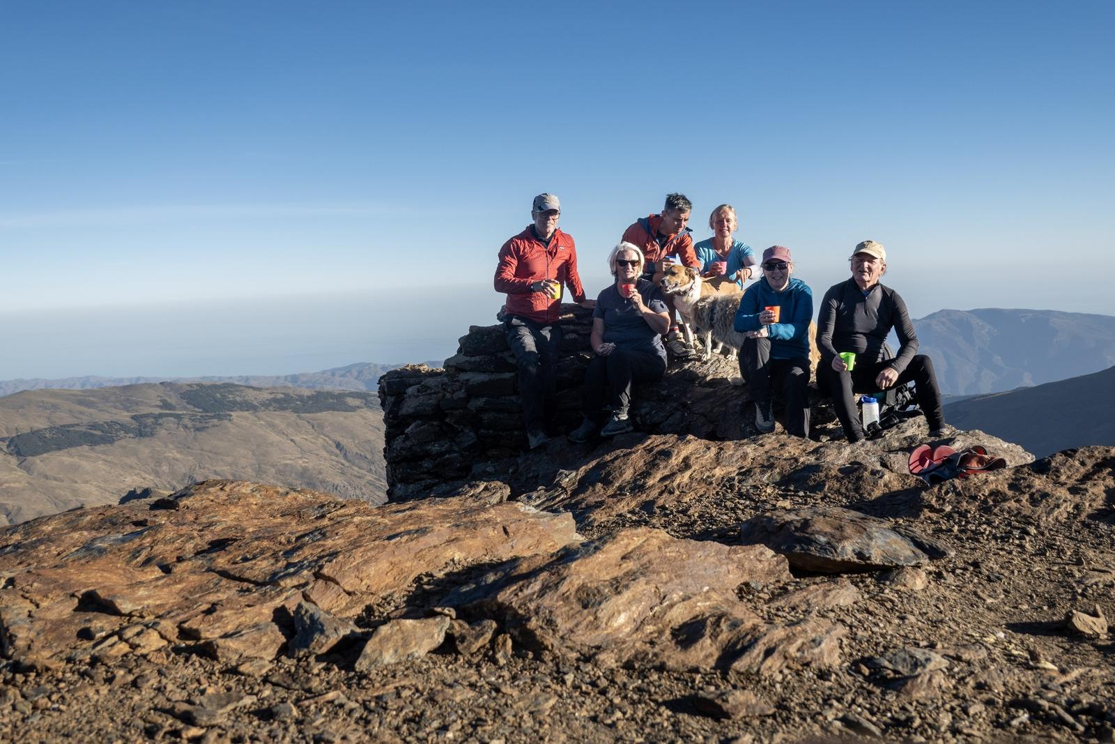
The group at the summit of Loma Pua enjoying a after dinner vino

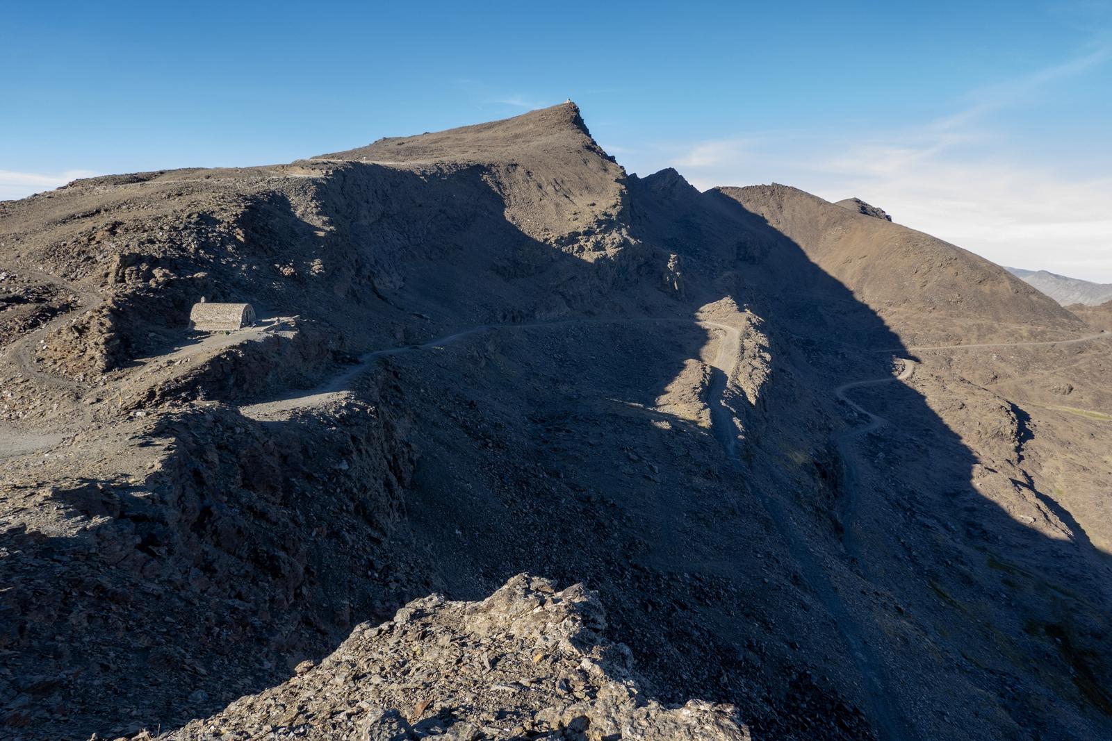
The view south to Veleta 3394m and the unmanned Refugio de Carihuela and col of the same name

Inside This Clay Jug by Kabir

Inside this clay jug there are canyons and pine mountains, and the maker of canyons and pine mountains! All seven oceans are inside, and hundreds of millions of stars.

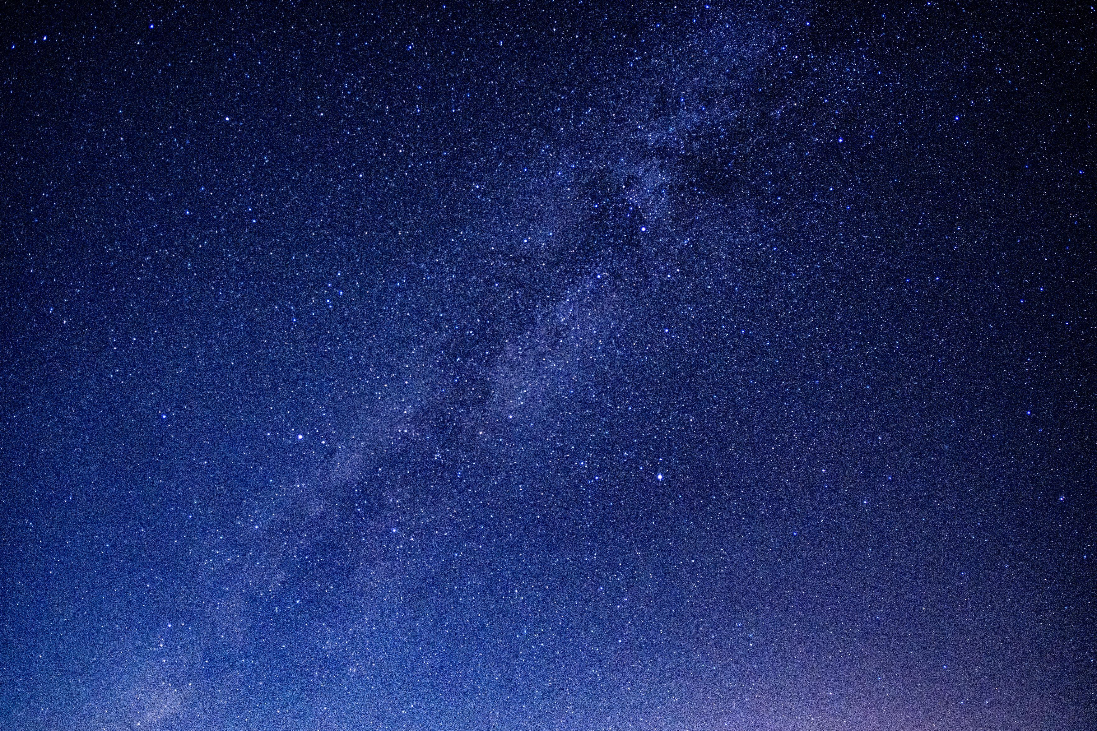
Last night

A photo of the milky way. Hundreds of stars fill the dark skies

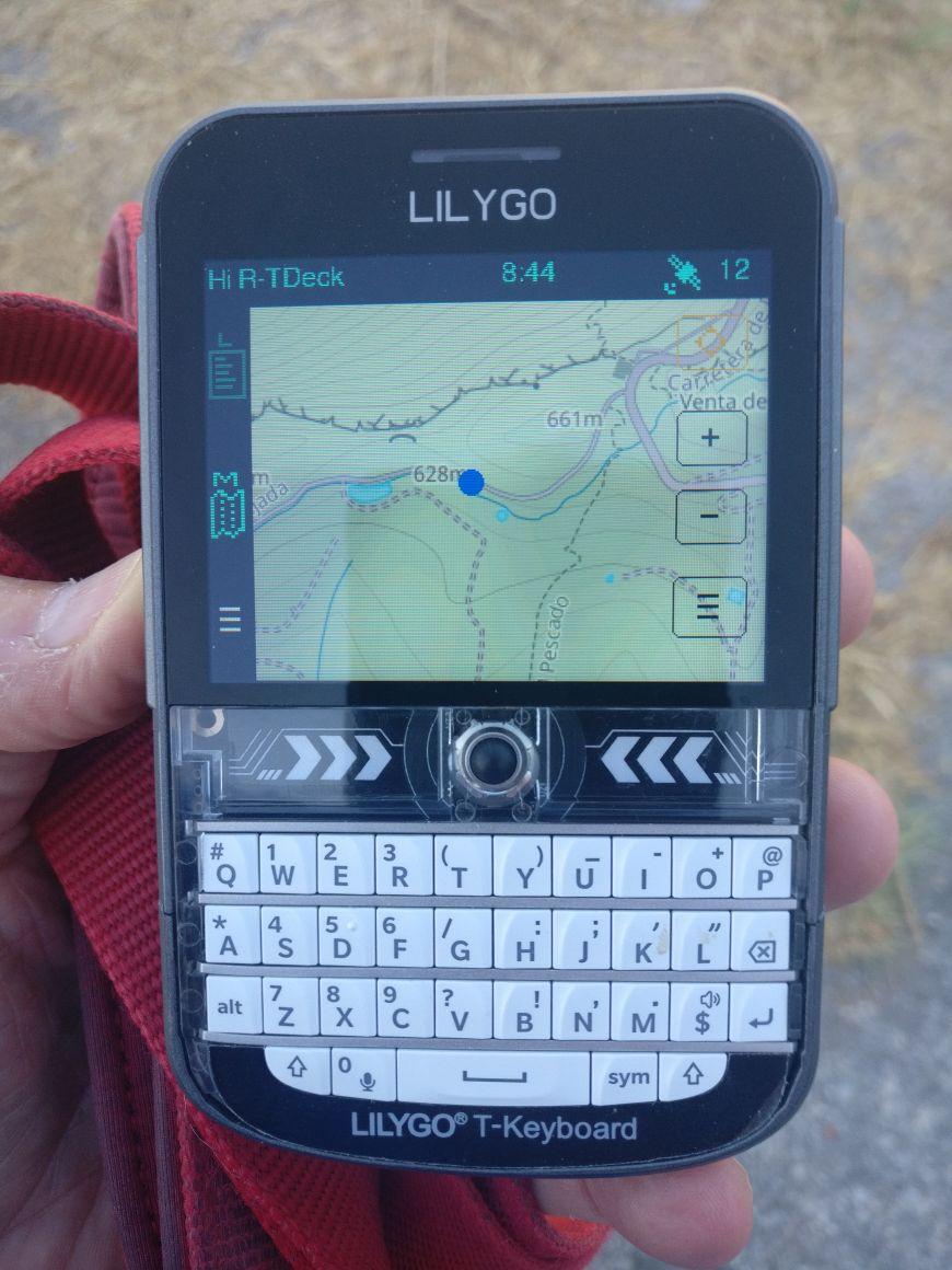
The GPS on this cheap, small, lightweight Lilygo T-Deck Plus running is very accurate (screen shows connected to 12 satellites). Battery lasts for ages just using the map facility (not the radio ). You need to download the map tiles and map format you wish separately. Might use it up in the mountains this week during our night hike (will have backup 😀 )

https://meshcore.co.uk/

A small Lilygo T-Deck Plus LoRa radio with keyboard, showing the map screen. A blue dot indicates where the author is located on the map.