Posted on:
The Spark!
There's a spark inside all of us that makes us want to explore. To go to places others don't go. To fill in the gaps on a map. It was definitely there with the early explorers, the climbers conquering unclimbed peaks, and the pioneers crossing vast lands. That spark, even though it may not always be active, is still there within all of us.
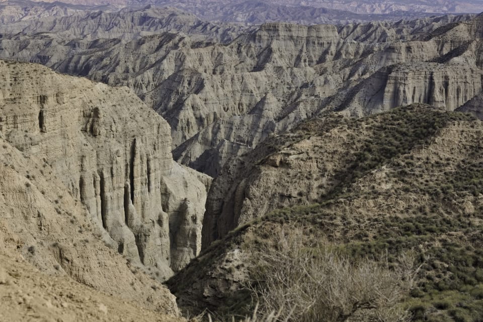
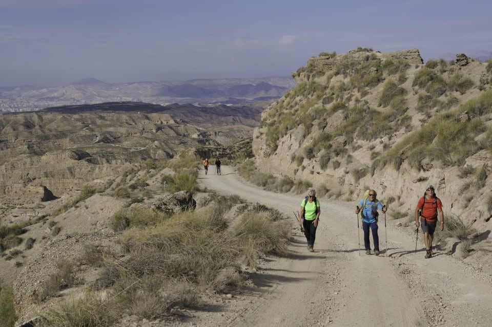
Our hiking group, the "Nomads," is made up of people between 50 and 70 years old. Our bodies are starting to feel the strain from years of hiking, with all the steep descents and long miles we've covered. But that spark is still alive. During our recent hike in the amazing "Desierto de Gorafe" badlands, just north of Guadix, that spark ignited once again.
 Gorafe Desert Badlands
Desierto de Gorafe
Just over an hours drive from Granada and less than 30 minutes from Baza or Guadix, you will find the natural paradise called the Gorafe Desert. Cannons, ravines, cave houses and red earth dominate the landscape. It is a landscape photographers paradise.
Erosion is one of the main features of the landscape in this region, which has created spectacular badlands, so named because of their dry, ravine-like nature. These shapes give the region its unique character, and they are especially varied and extraordinary in the central part of the basin.
The Route
We parked on an area of flat almond groves, their blossom contrasting dramatically with the blue skies and snow clad Sierra Nevada mountains to the south. Walking slowly northwards there is no indication of the dramatic scenery that lies in wait ahead.
The road has been upgraded recently so it's an easy descent into the badlands. All of a sudden the view opens up into a chaotic mixture of broken, torn and twisted scenery. Marvellous stuff! The first few kilometres follow a good road. On the right hand side is the spectacular and dramatic ravine, rather unimaginably, named "Rambla del Pollo" (Chicken Canyon")
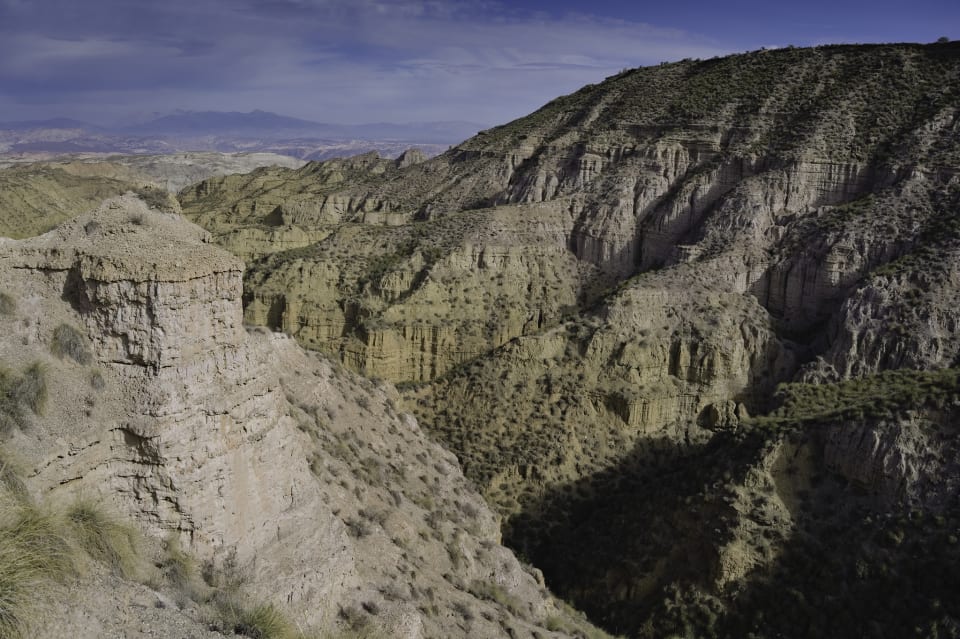 Chicken Canyon
We left the road and headed north east on a dirt track before dropping steeply down into a ravine. Here the landscape changed. Instead of being on the high ridges above, we were enclosed in a steep sided narrow valley with no long distance views.
Route 14km, 300m ascent/descent, 4.5 hours
 Route Map
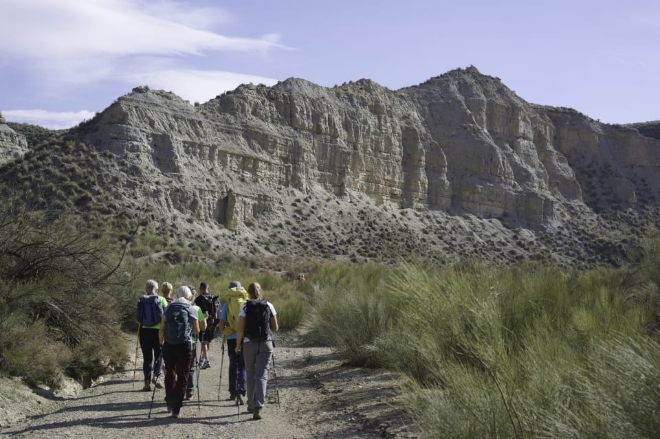
Exploration
An easy plod along the valley floor was followed by a pleasant lunch stop amid the dry arid desert shrubs. The group was then given a choice of route.
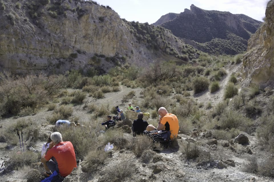 Lunch Stop
Option 1. Continue along the valley floor by following the dotted line on the map. This would involve an easy climb out at the end along another dirt track.
Option 2. Head off up a side valley some 3 kilometers. No dotted line to follow. No prior foorprints. No knowing if we could escape from the clutches of the ravine. I had checked on Google Earth beforehand and it looked probable, and the map suggested an easing of contour lines, but there was no 100% certainty. If we couldn't escape out then it would have meant retracing steps and adding greatly to the overall distance.
This is where that exploratory spark that I have been talking about was reignited. Without fail my glorious group of fellow hikers opted for Option 2.
The exploratory force was strong!
The valley was narrow. There was no path, but previous rains had created a narrow track in the base of the valley. This meandered and wove it's way to and fro. At times vegetation blocked the way so we used animal tracks to circumvent. The rock walls of the ravine loomed high above on either side.
At one point a huge rock landslip had completely blocked the onward route. This was easily by-passed on the right hand side.
 Bypassing the rock fall
Was it my imagination or, on nearing the head of the ravine, were the surrounding cliffs relenting their steep and loose nature? I hoped so.
Rounding a corner the thing I had been dreading and the somewhat inevitable happened. A 10 metre high overhanging rock wall blocked forward progress. "Oops" I thought, "Google Earth didn't show this".
I dreaded having to tell the others that onward progress was impossible without full rock climbing paraphranalia. My name would be mud and my reputation damaged irreparably.
Fortunately us "Nomads" are made of stern stuff. Sean and Bongo had spotted and reconnoitred a steep and slating rake that went up and to the right before the rock impasse. This involved a somewhat exposed step or two above a drop, but led onto more gentle terrain that led us upwards.
 Steep ascent to the escape ramp
 Escape from the ravine
From then on it was easy going to reach the ridge line and join up with the easy track back to the waiting cars.
 Easier terrain above the ravine
Estatic with our exploration, and no doubt boosted by adrenaline, we gave our nameless ravine a much needed title. Canyon of the Nomads ("Barranco de los Nómadas")
N.B One map I have since seen gives a possible name as "Rambla Don Diego"???? Who knows!
The "Spark" is still strong, just maybe more gentle. And, as they say, "Fortune Favours the Brave"
Tagged with:
More posts: