El Perro Negro

Grumpy old mountain man living in Spain

Social-Feed

El Perro Negro (@elperronegro) on Khumbu

I screamed again today 😱 as I disturbed a warming snake out of it's morning slumber. It ran at an alarming pace past my legs stopping briefly to hiss it's annoyance and headed off into the bush.

Dark color, so possibly a Ladder Snake. Could also be a Montpellier or a Horseshoe Whipsnake, I was too frightened to stop and study. Harmless unless manhandled and I certainly wasn't likely to do that 😀.

Here's a archive image of ours of a ladder Snake.

A long thin Ladder Snake with distinctive lines down it's back

Yesterday I did get 12km line of sight messages through without a problem

Test ... tracking @khusky and the morning dog walk from my home laptop using radio network and the repeater on my rooftop.

Interesting possibilities for hiking and backpacking in groups?

Got a right shock getting into my car yesterday. As I reached for the door handle to close the driver door I felt something run over my hand. It was a Scolopendra! I screamed like a demented banshee & flew out of the car, must have looked funny as 😀.

Now we don't have much in Spain that will hurt you but a Scolopendra can inject a venomous bite that can cause intense, long-lasting pain & swelling. I love most living things but draw the line at these 😂

A 6 inch Scolopendra with black and orange stripes

Exciting 4WD exploration/adventure this afternoon into some hills to our SW. Sketchy tracks with huge ruts and big drops. No real idea what was coming round the next bend. Mrs Google no help at all 😀

BTW at furthest distance, managed to send a text message 12km (straight line) back to my house via radio. A record distance for me. Used a SenseCap T1000-E

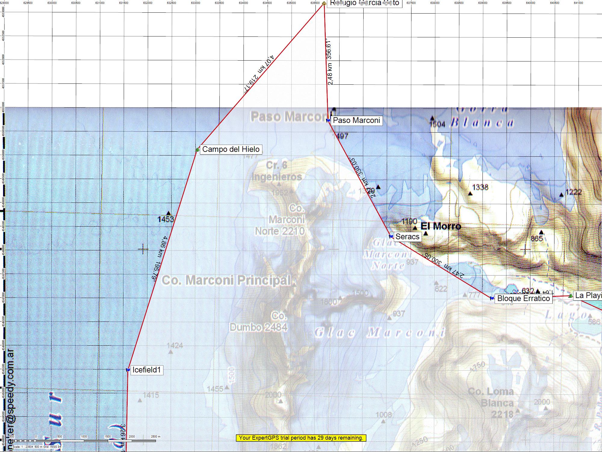
@bergmeister It certainly beats my self made map of the northern section of a trek on the Patagonian Icecap which I made in 2010 using a large scale map but with my own grid lines superimposed (and probably wrong 😂 ). How times have changed!

b137ac750a5c9f2e

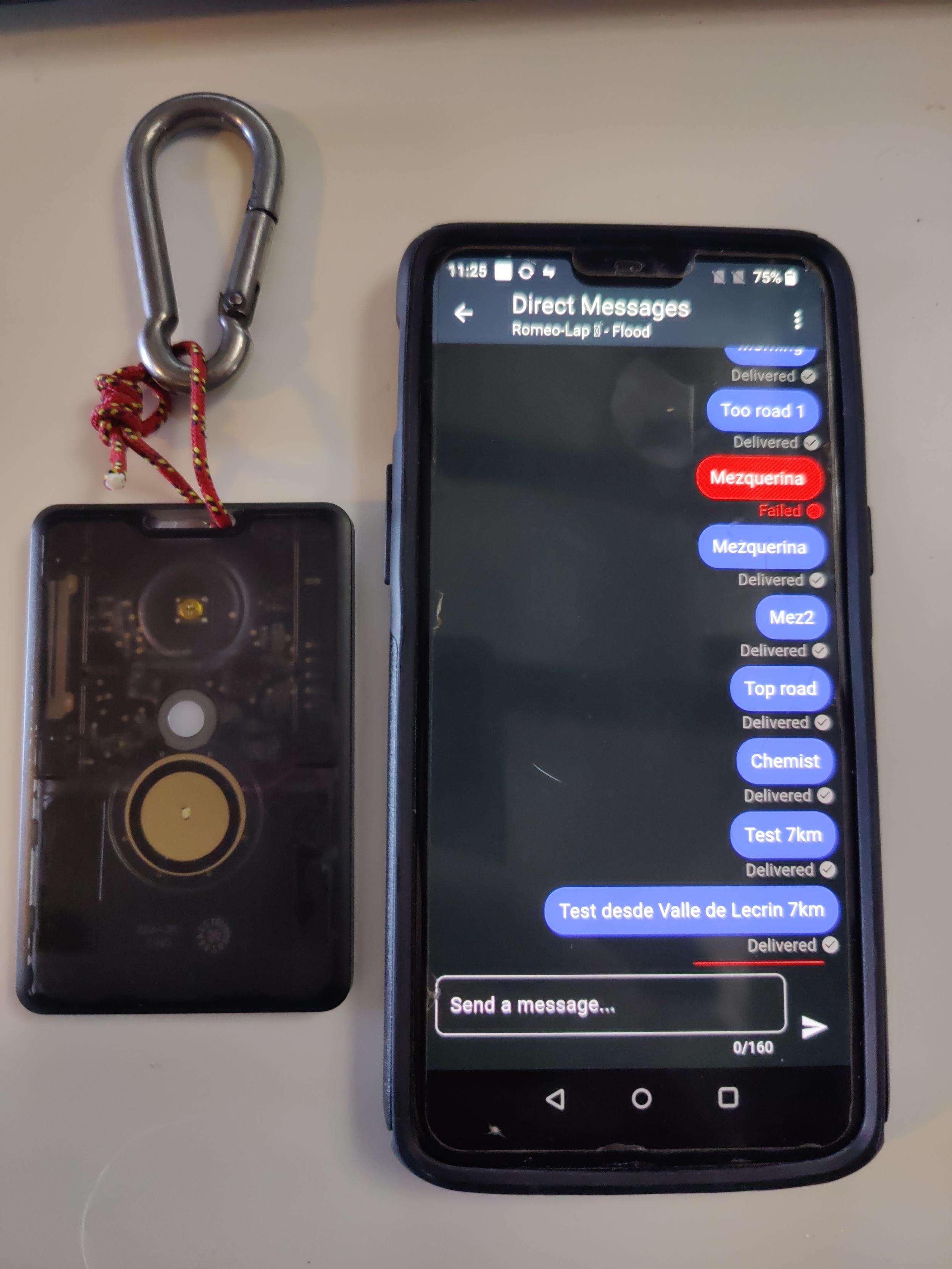
Building a small local Meshcore network here with LoRa radios. Managed to communicate with the repeater on my roof from a SenseCap T1000-E, some 7 kilometers away. Much further reach than I originally anticipated.

A sensecap T-1000-E bluetoothed to a mobile phone running Meshcore software

Just started using the excellent https://gpx.studio to create and edit my gpx files. Very accurate and intuitive to use. Free to use, so please support the developer if you find it useful.

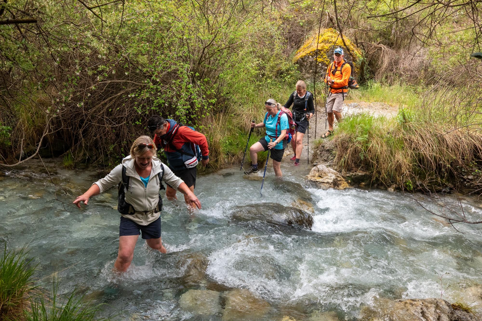
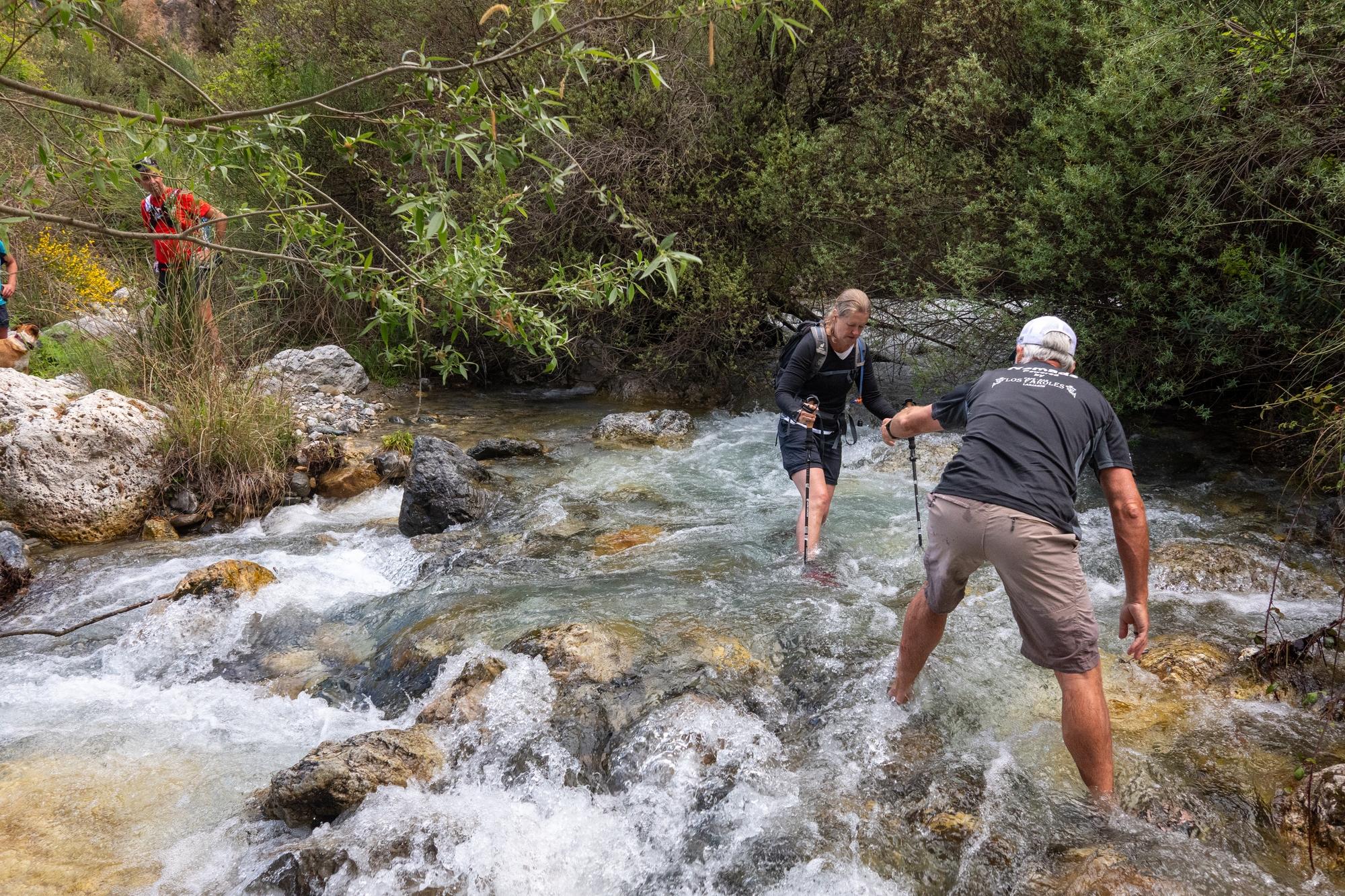
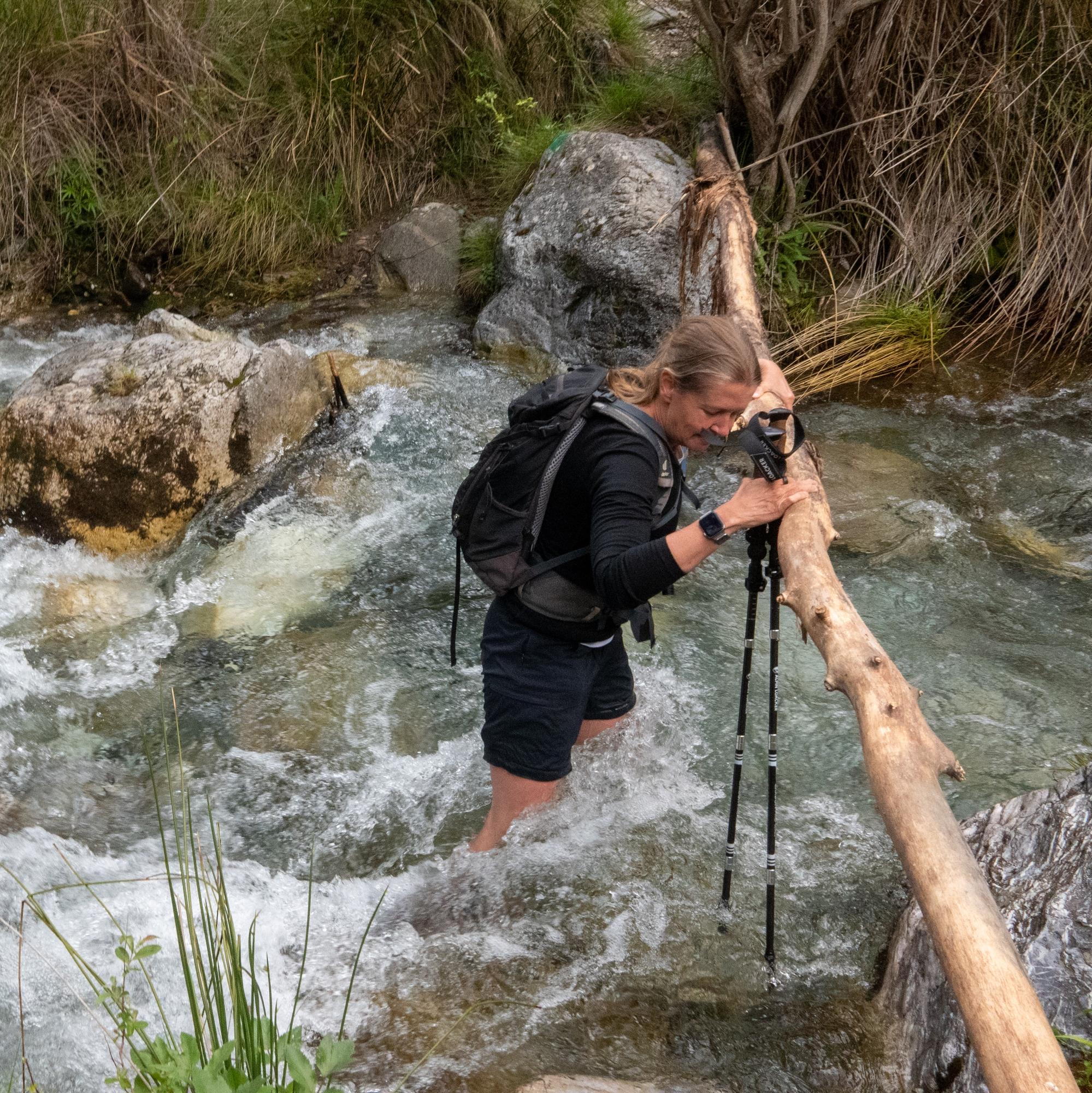
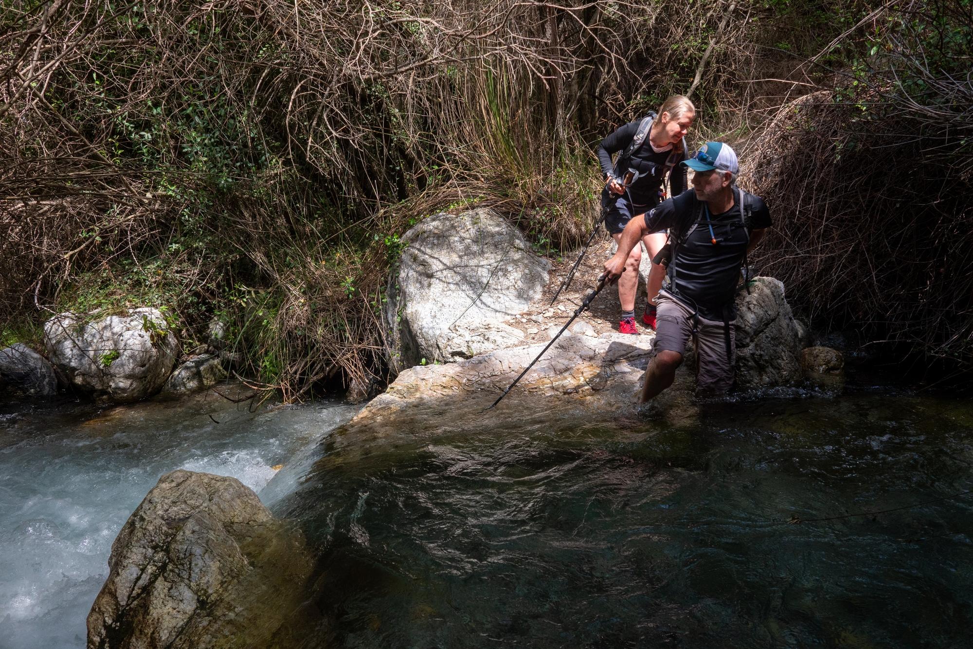
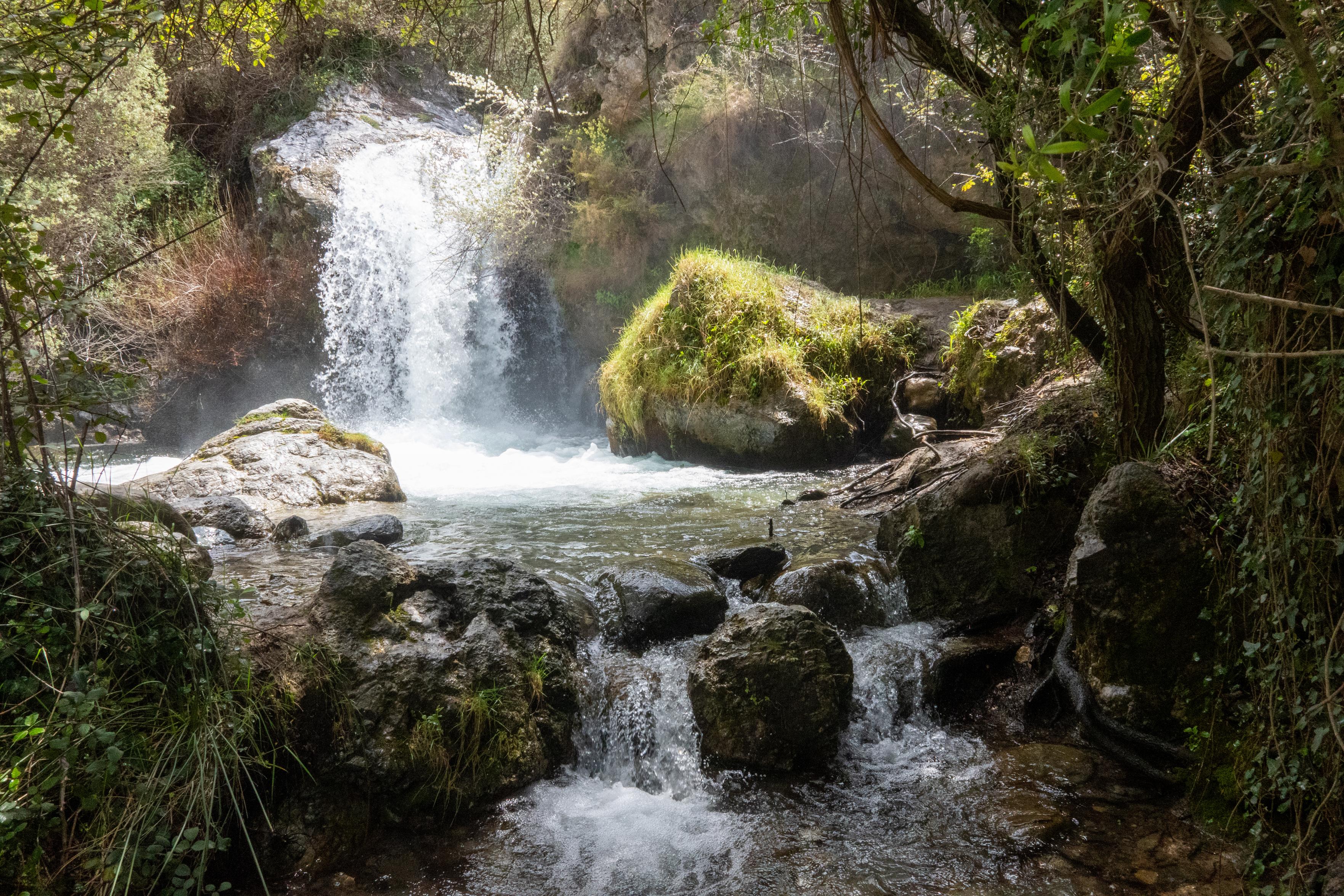
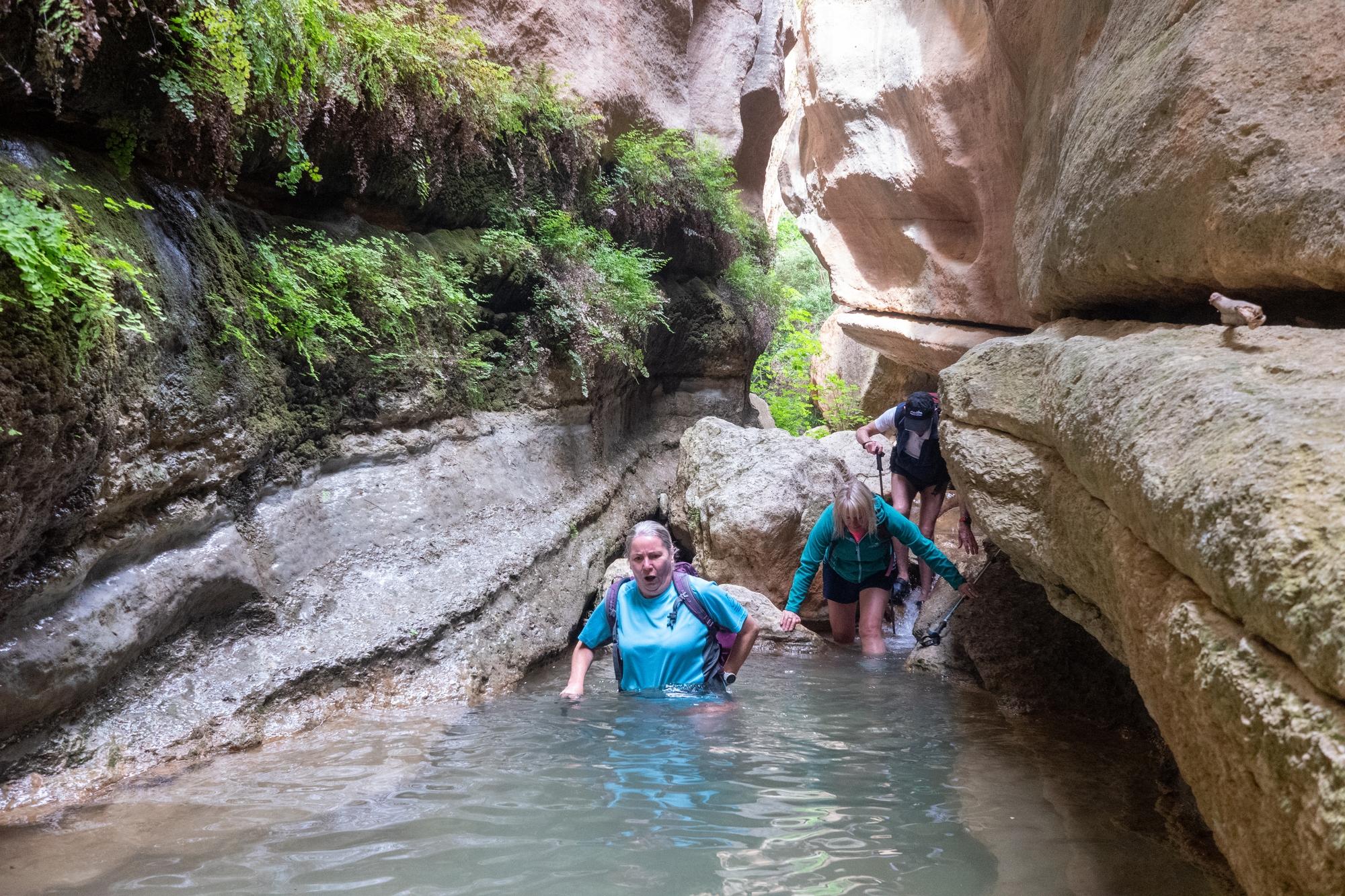
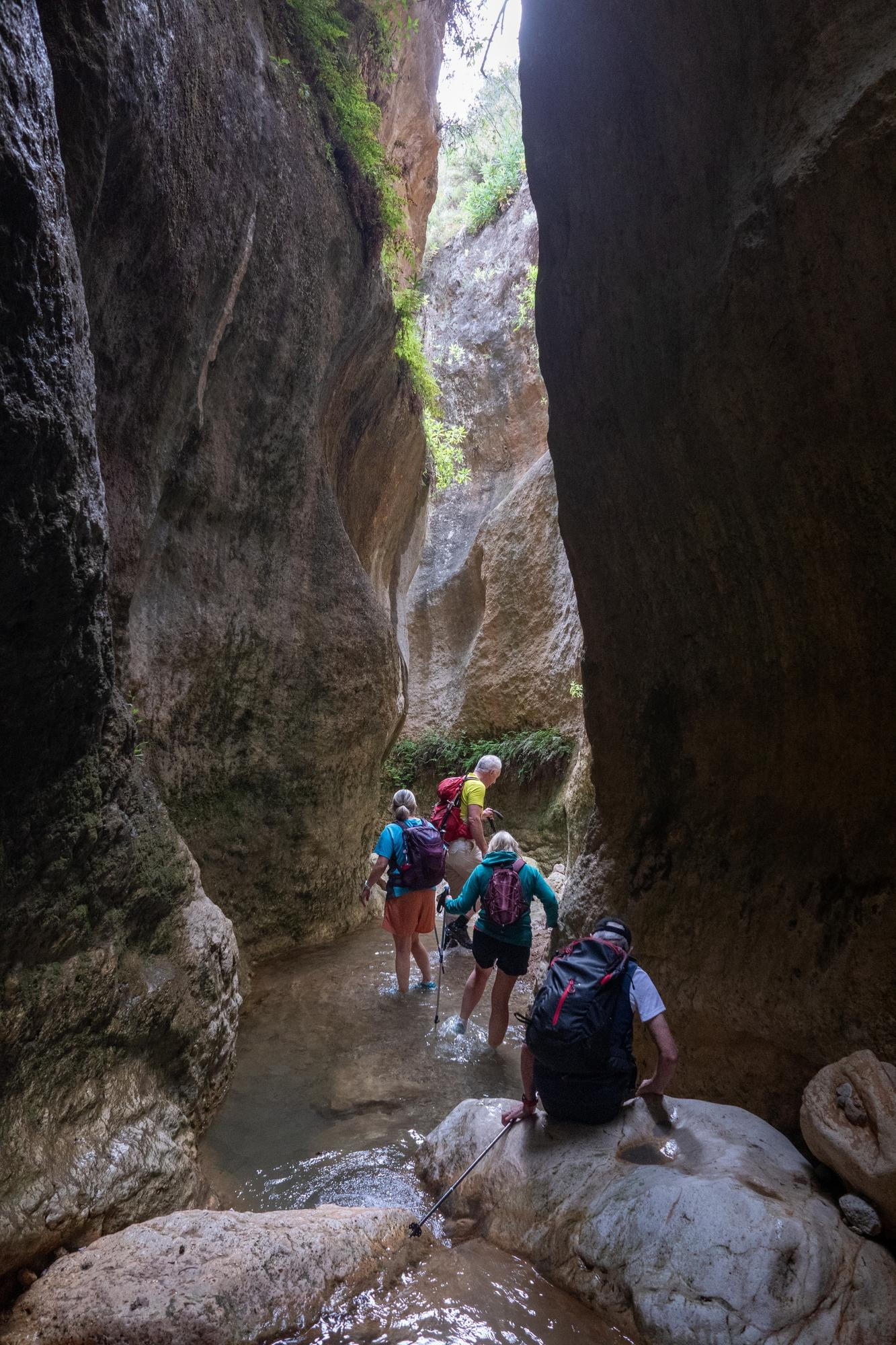
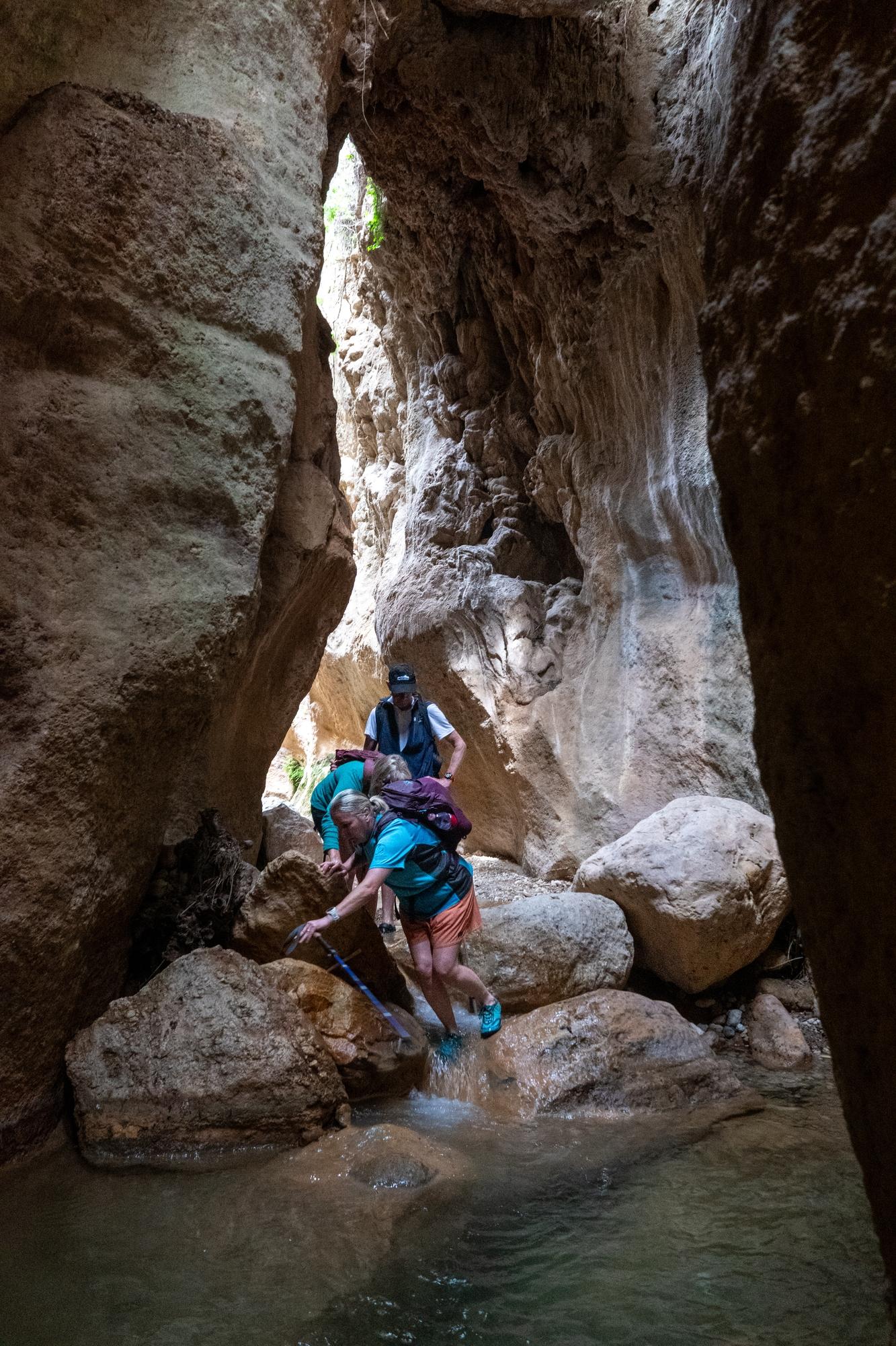
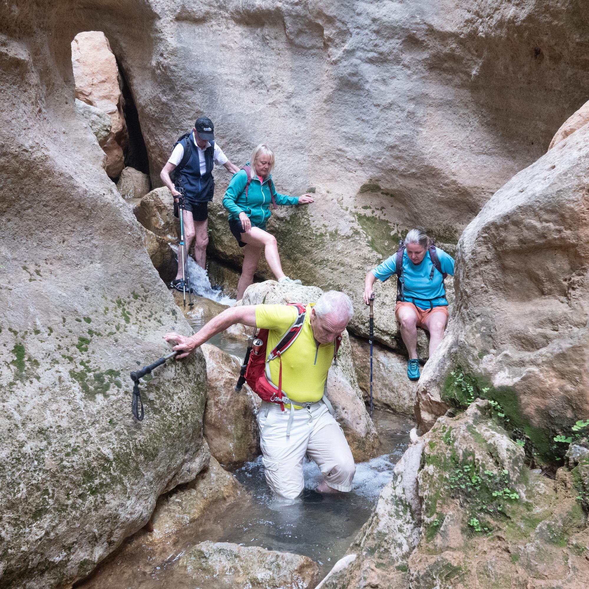
Unusual hike to visit the Cascadas del Rio Dilar yesterday. Route up the valley involved 30 river crossings! 15 there and 15 back. The water was between knee and mid-thigh level deep, flowing quite strongly with extremely cold snow melt from the . Care required, walking poles very useful. Great fun though!

A line of hikers attempting to cross a fast flowing stream

Two hikers attempting to cross a fast flowing stream

A hiker attempting to cross a fast flowing stream whilst holding onto a horizontal pole spanning the river

Two hikers entering a fast flowing stream

400km round trip taking my mate back to Malaga airport but managed to visit a few nature reserves along the way ... Fuente de Piedra (Flamingos ✅, Dark Spreading Dragonfly ✅) and El Torcal (Griffon Vultures ✅).

@khusky will have some good photos, I just took my binos. Only problem was the amount of very loud and uncontrolled school kids at El Torcal. Any species would have been long gone by the time that they arrived. Not really getting in touch with nature?

The wonderful Barranco de la Luna today. A short half day trip but well worth it. The ravine features dramatic rock formations, lush vegetation, and a small, crystal-clear stream.

The trail follows the ravine, with some rocky sections and shallow river crossings - adding a sense of adventure. The highlight is the "Cañón de la Luna," a narrow canyon with towering walls that feel almost otherworldly.

Unavoidable dip in a small pool. Huge rock walls above on both sides of the river

A group of hikers passes down a narrow river gorge with huge rock walls vertically rising above

A group of hikers passes down a narrow river gorge with huge rock walls vertically rising above

A group of hikers passes down a narrow river gorge with huge rock walls vertically rising above

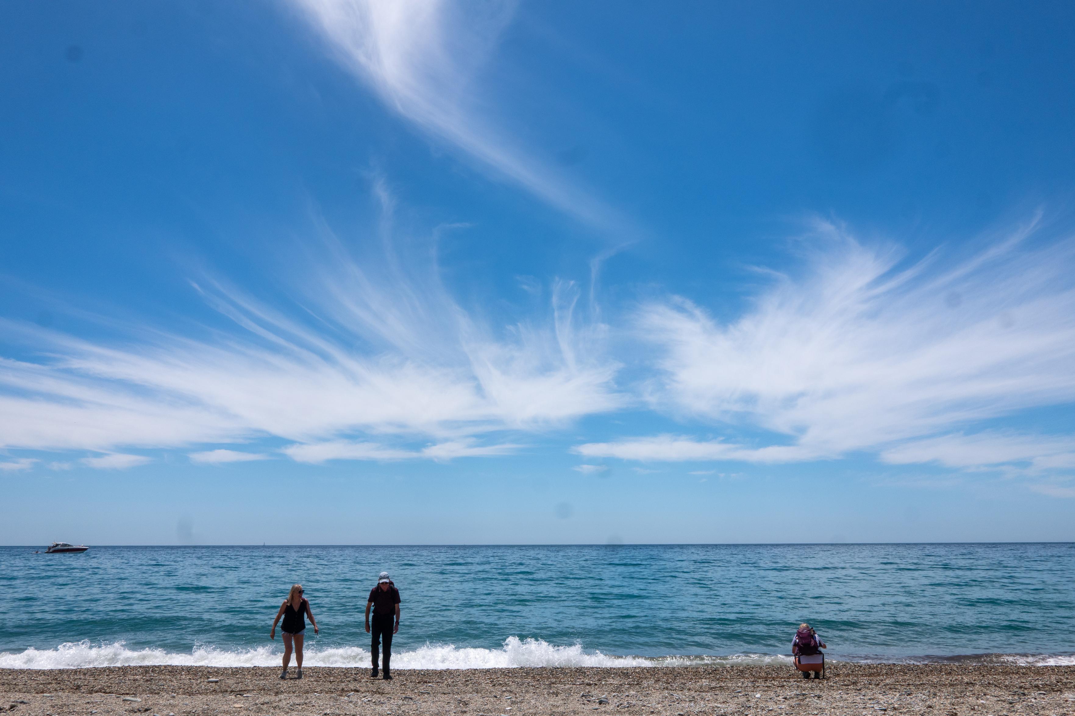
Not often we head for the beach but glad I did yesterday. Nice hike between the Playa Nudista at Cantajirran to Playa Caleta, Costa Tropical

.

Three figures bottom of image watch the waves under a clear blue sky with whispy clouds

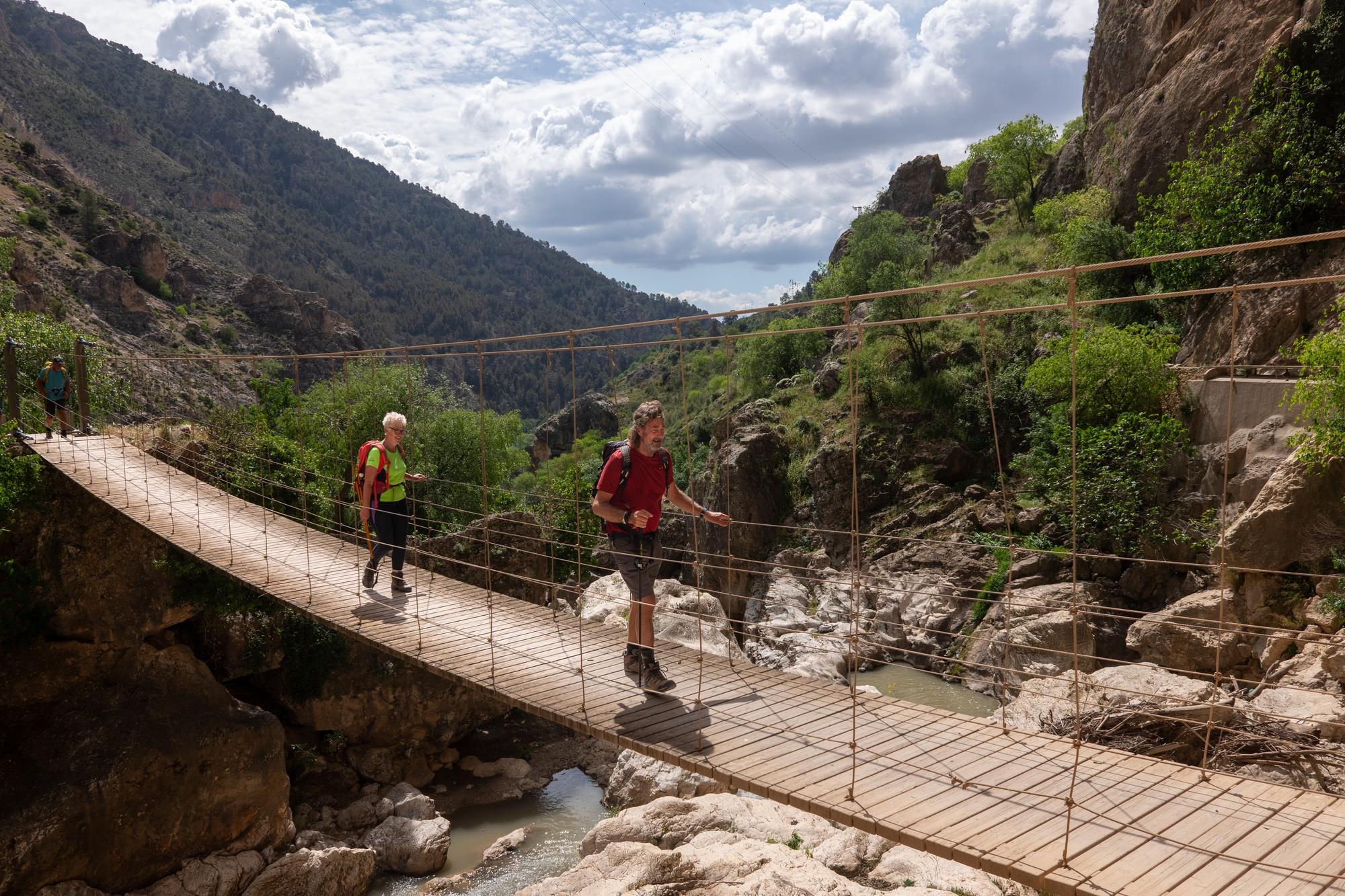
Yesterday we hiked the Ruta Gollizno, Moclín, a scenic trail that offers stunning views, through areas with rich history, including old defensive structures & remnants of medieval pathways.

The trail is a mix of dirt paths & rocky terrain, winding through forests, deep gorges & open landscapes.

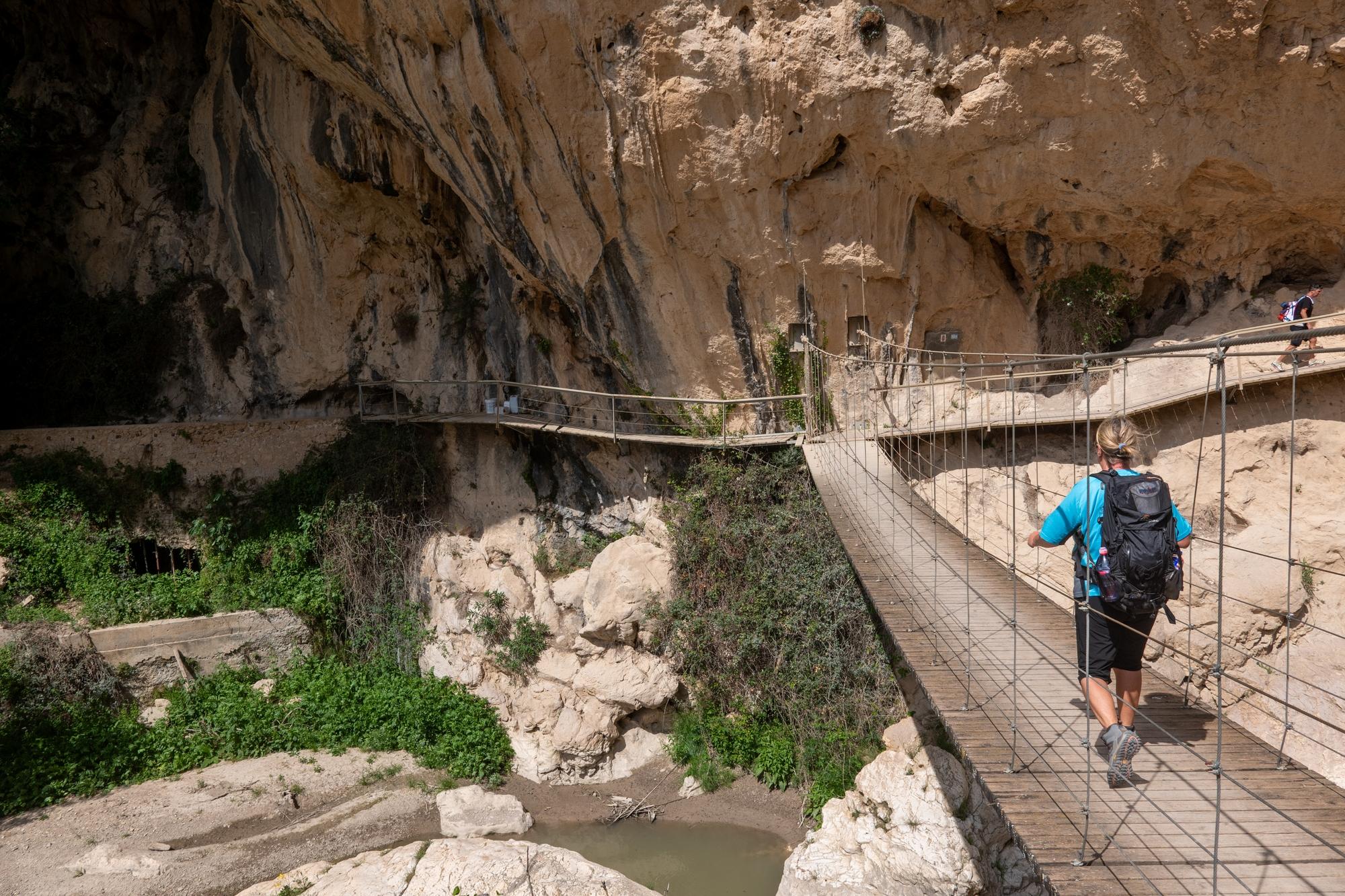
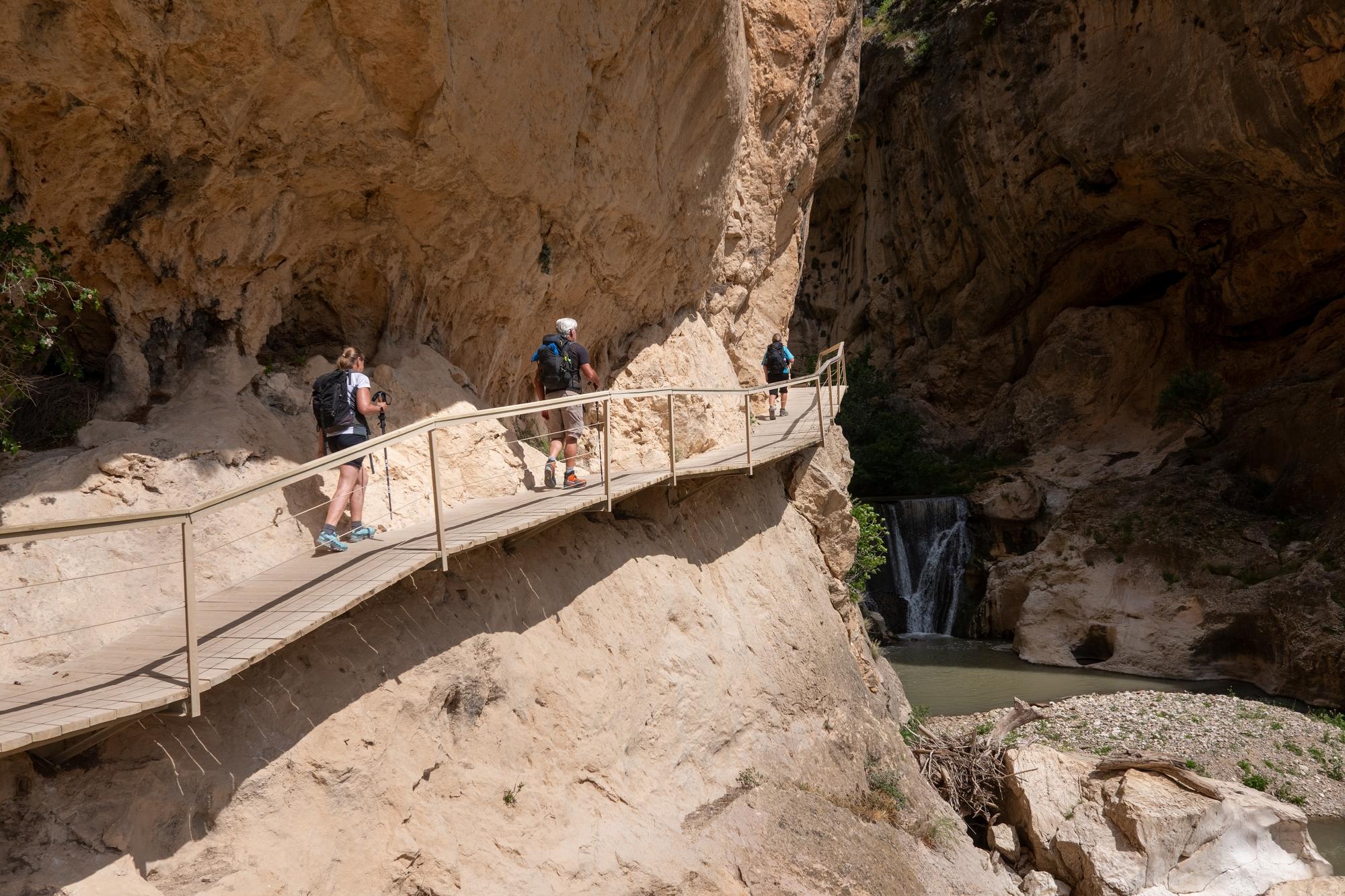
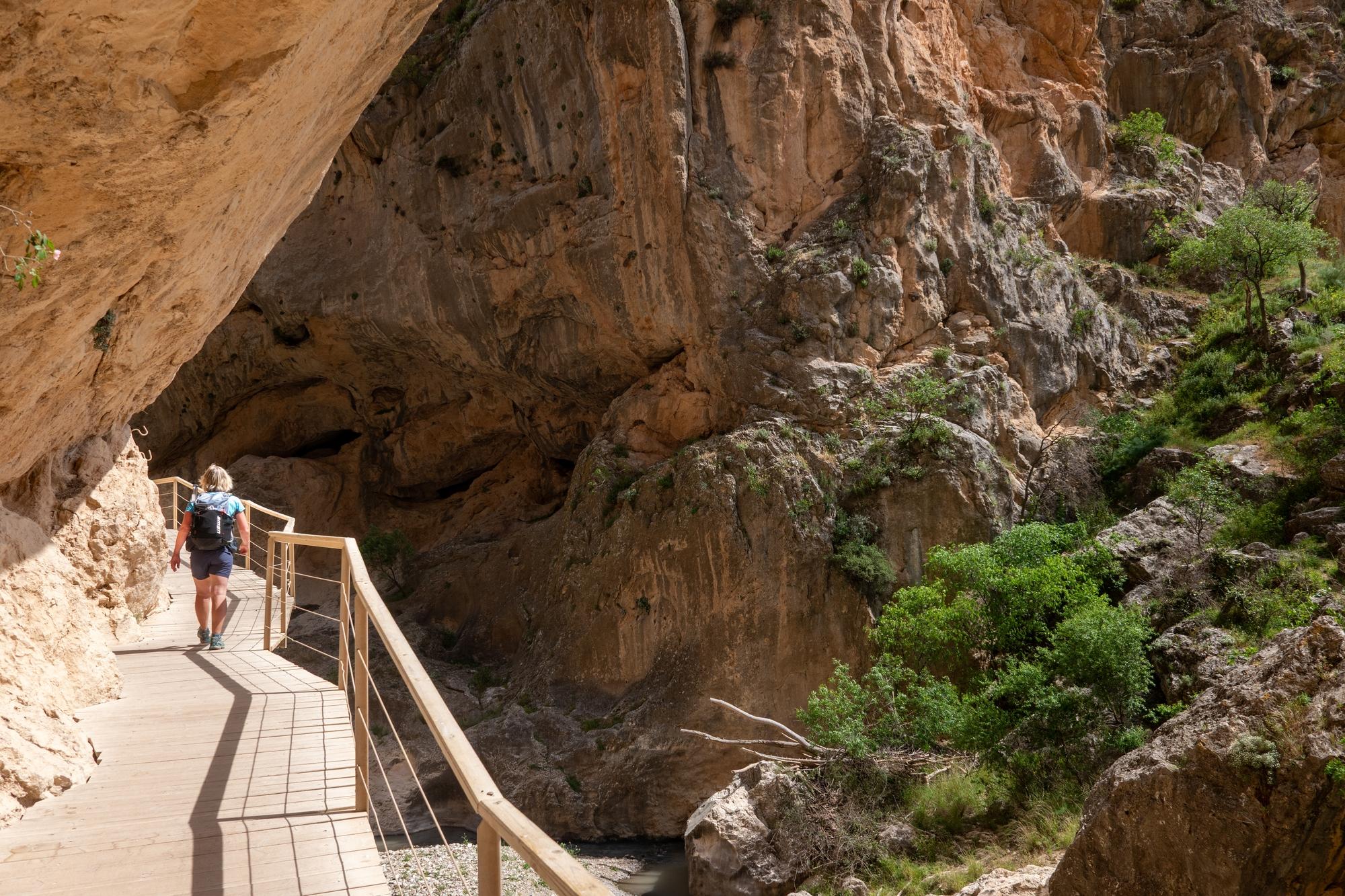
Some spectacular sections in the gorge itself with a high bridge & raised platforms to provide some superb situations. See photos

Two hikers cross a wood/wire bridge high above a river

A person in blue crosses a wire/wood bridge above a river with huge cliffs above

3 hikers walk along a wooden elevated platform alongside cliffs and above a river

A hiker walks along a wooden elevated platform alongside cliffs and above a river

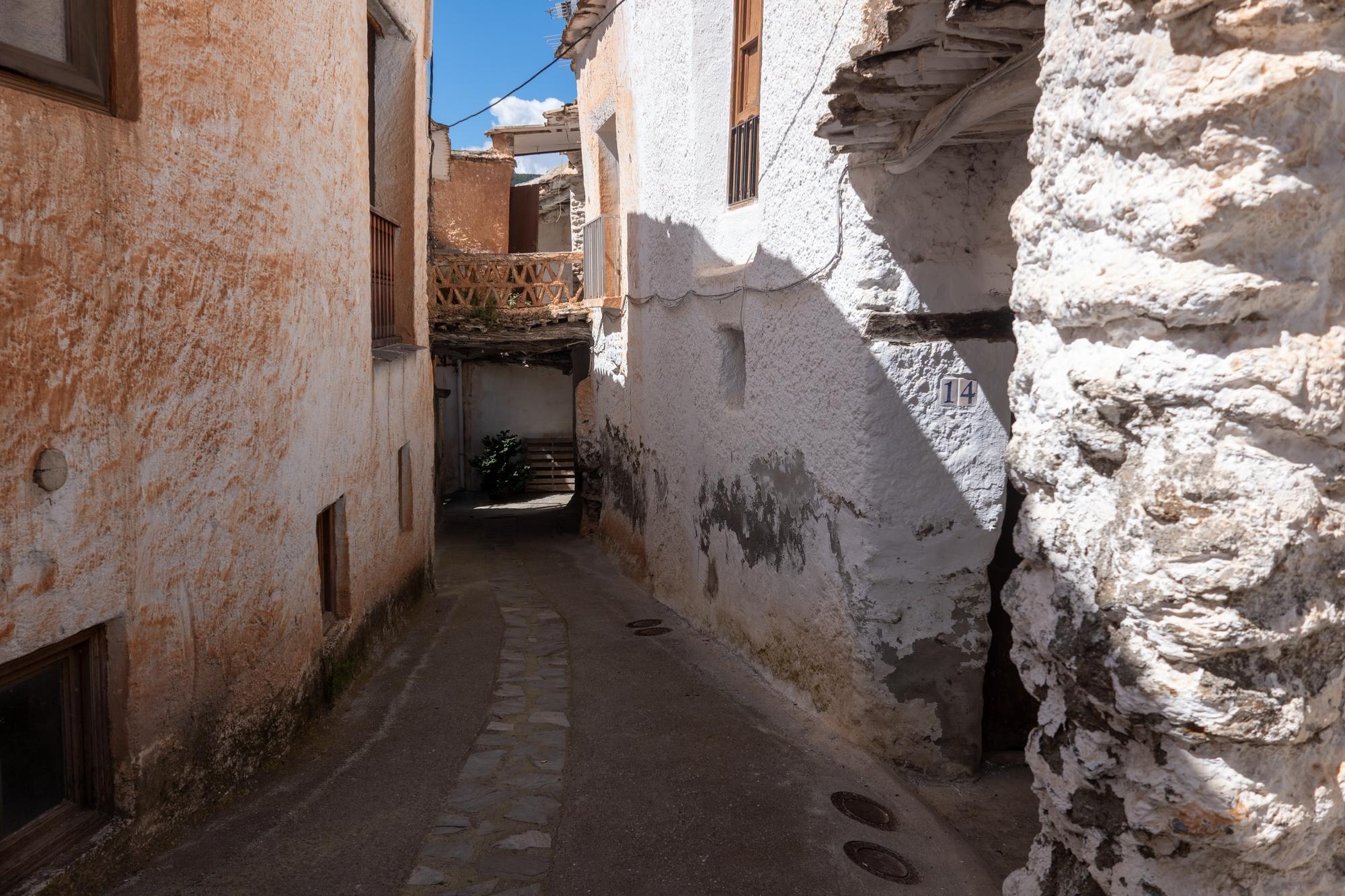
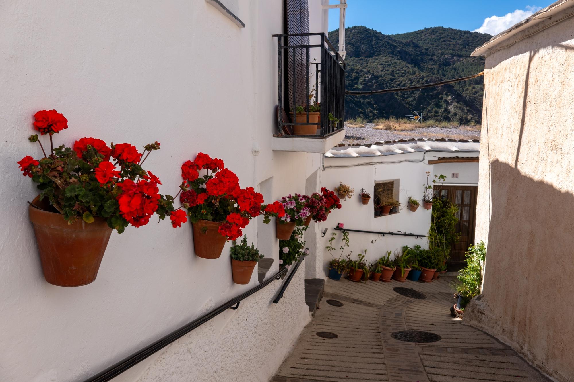
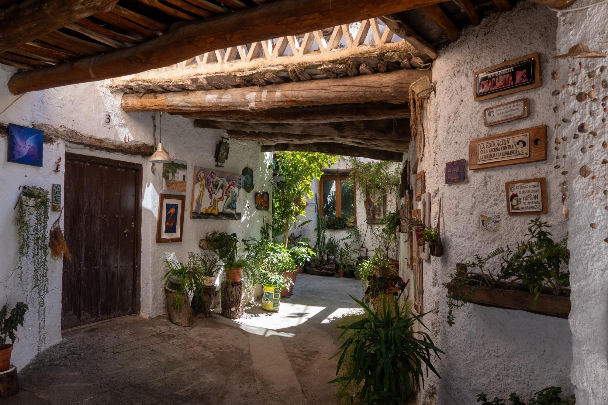
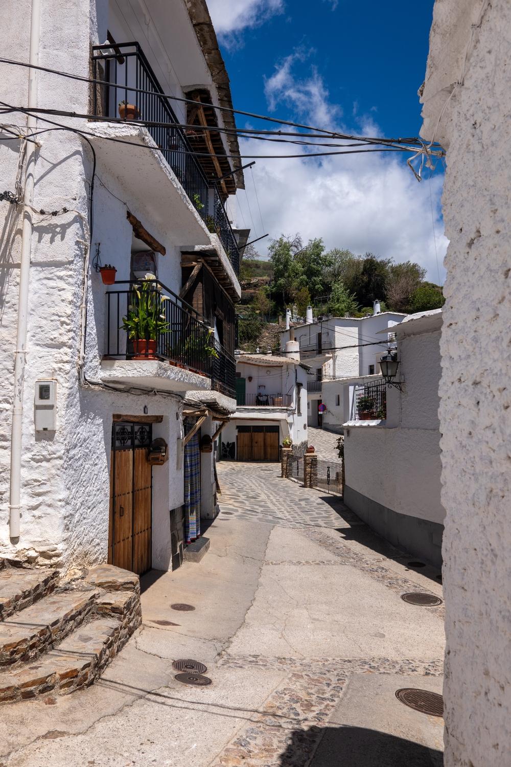
Today we've been exploring, amongst other things, the charming village of Fondales in the Taha del Pitres. Known for its traditional whitewashed houses, narrow winding streets & flat slate roofs.

Like much of the Alpujarra, Fondales has Moorish roots and was heavily influenced by the Berber settlers who farmed the terraced hillsides.

A narrow street with white walled houses, some terracota colour after being affected by the Calima Sahara dust storms

A row of red roses line a white walled street

A decorated street scene in Fondales

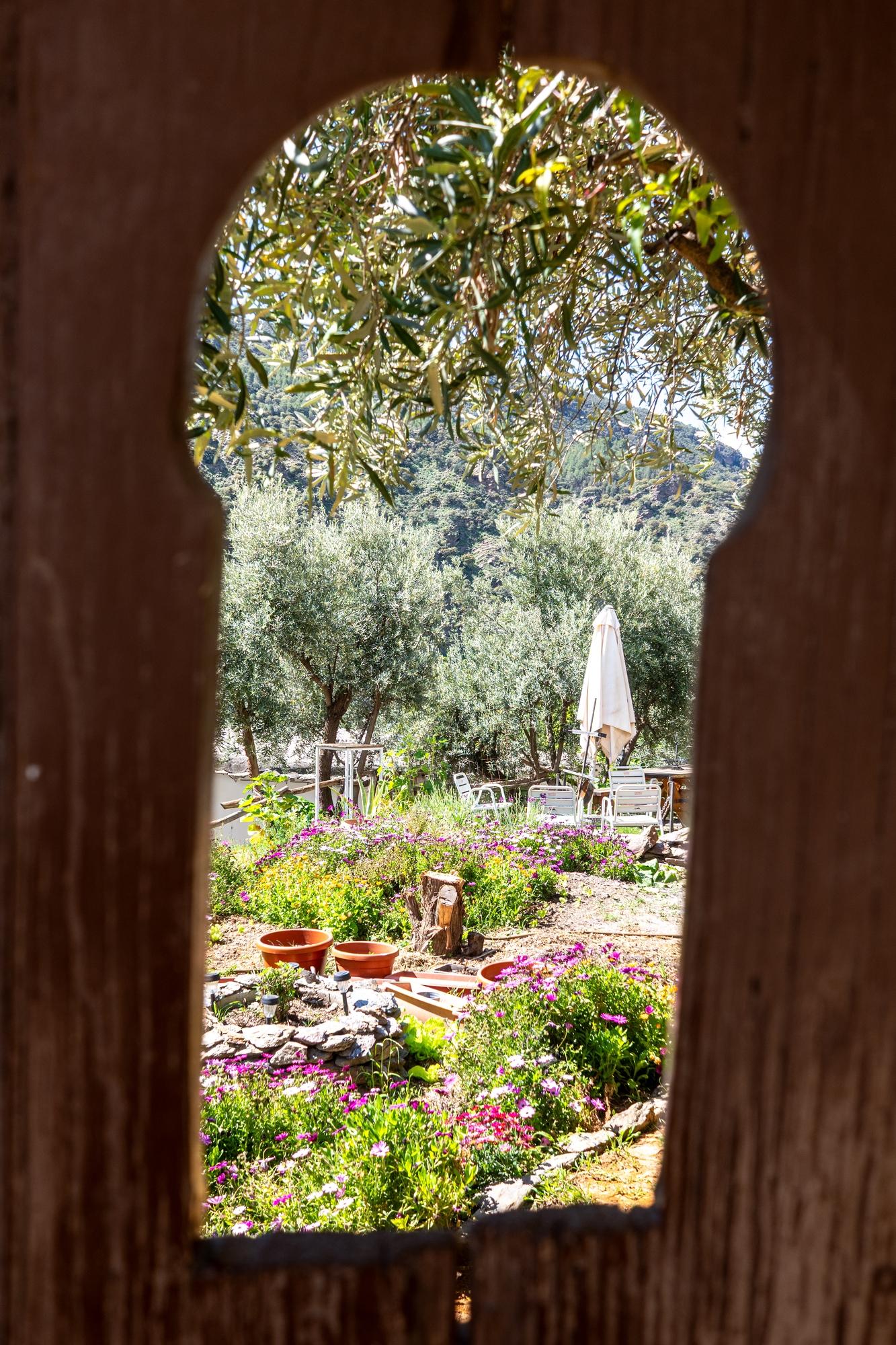
A keyhole window looks in on a beautiful and colorful garden

I had to put on my guiding hat and return to work yesterday. I know, it's not really work is it? 😂

La "Ruta Medieval, Taha del Pitres"

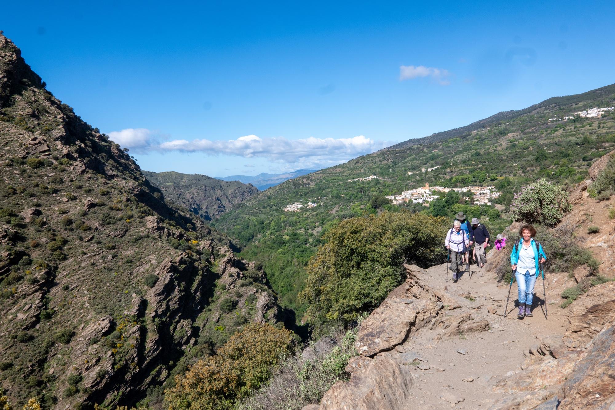
Charming Alpujarran villages with narrow streets, flat-roofed houses & historic churches.

Ancient Moorish water channels that still irrigate the land today.

Fresh mountain springs & waterfalls, perfect for a quick rest.

Hike dates back to the Nasrid period, reflecting the region's Moorish past.

Hikers on a high trail above a gorge. Villages of Ferreirola, Mecina and Fondales behind

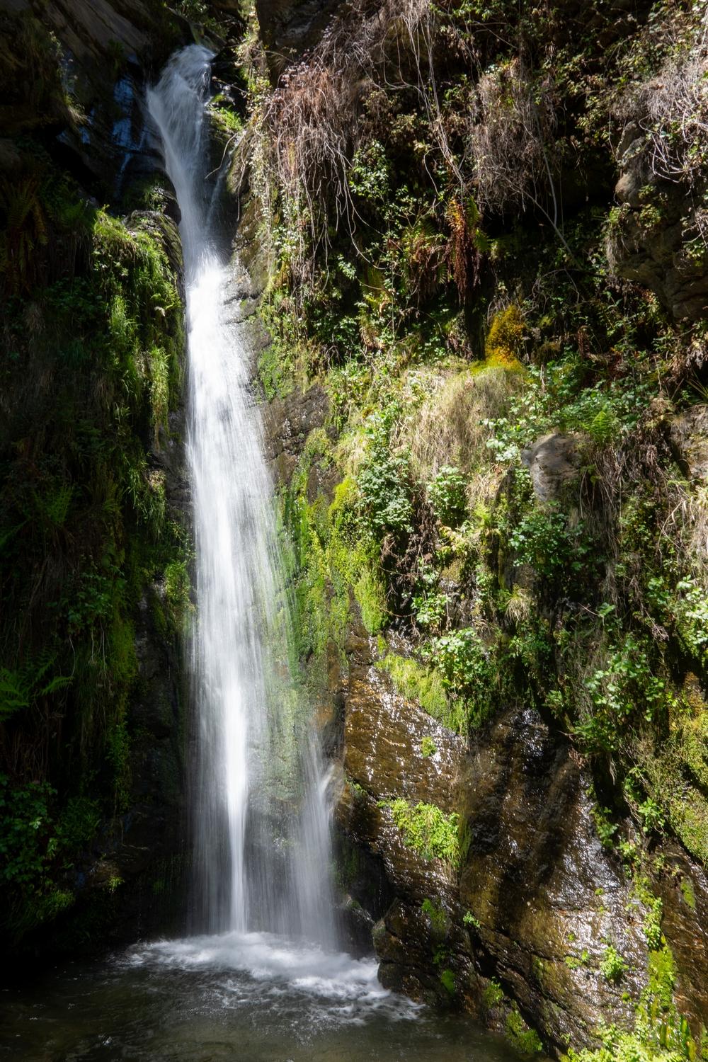
Huge waterfall coming down the Rio Bermejo

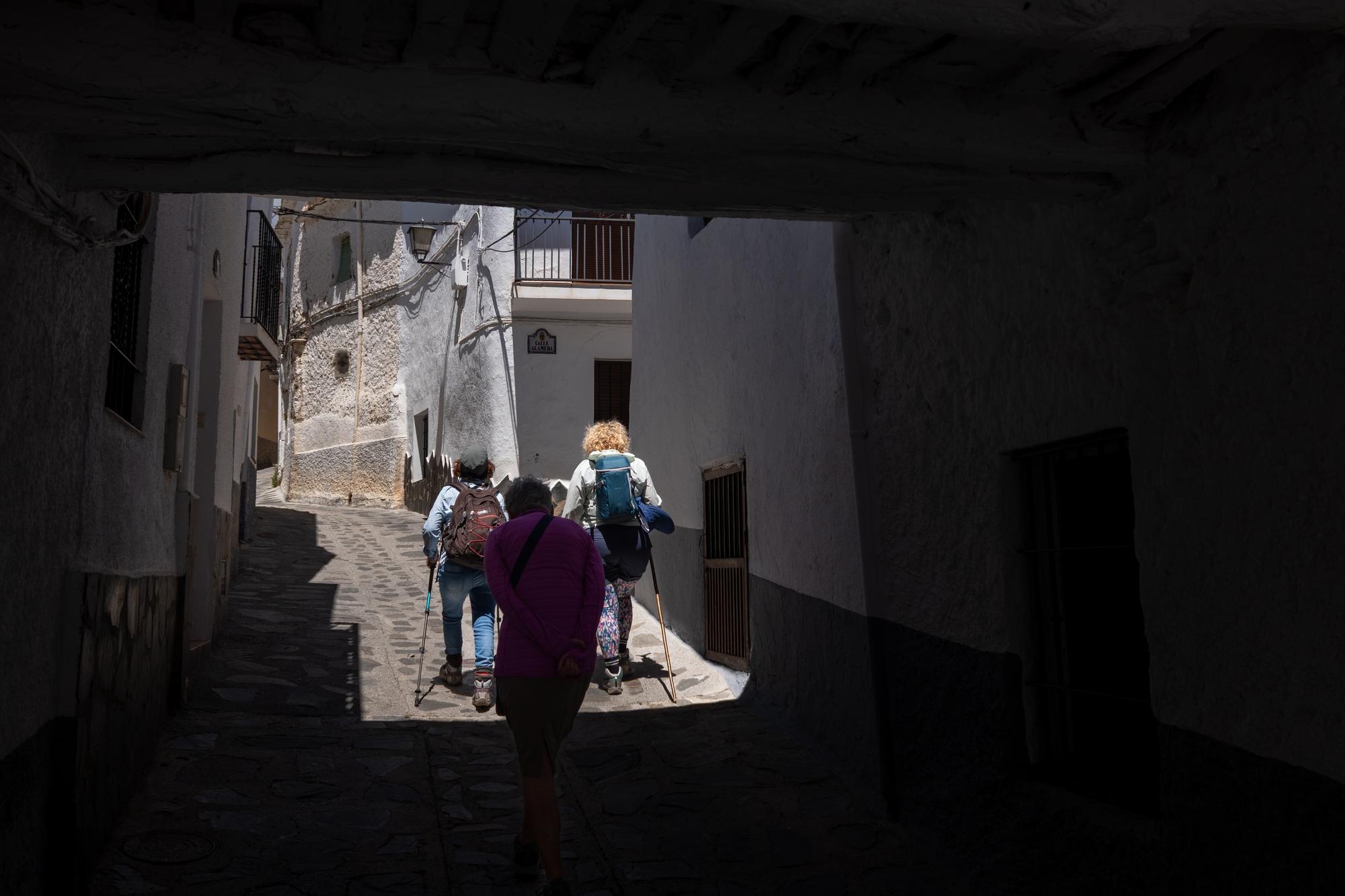
Going through and old, dark tunnel in the streets of Busquistar

Street scene, Portugos