El Perro Negro

Grumpy old mountain man living in Spain

Social-Feed – 2025 (275)

Since Dec 2022 we have been running our own Mastodon & GoToSocial servers. What a breath of fresh air the Fediverse has been. We have made many hundreds of new friends from around the world, mostly related to our mountain, tech and nature interests.

Connect with me/us on the Fediverse at:

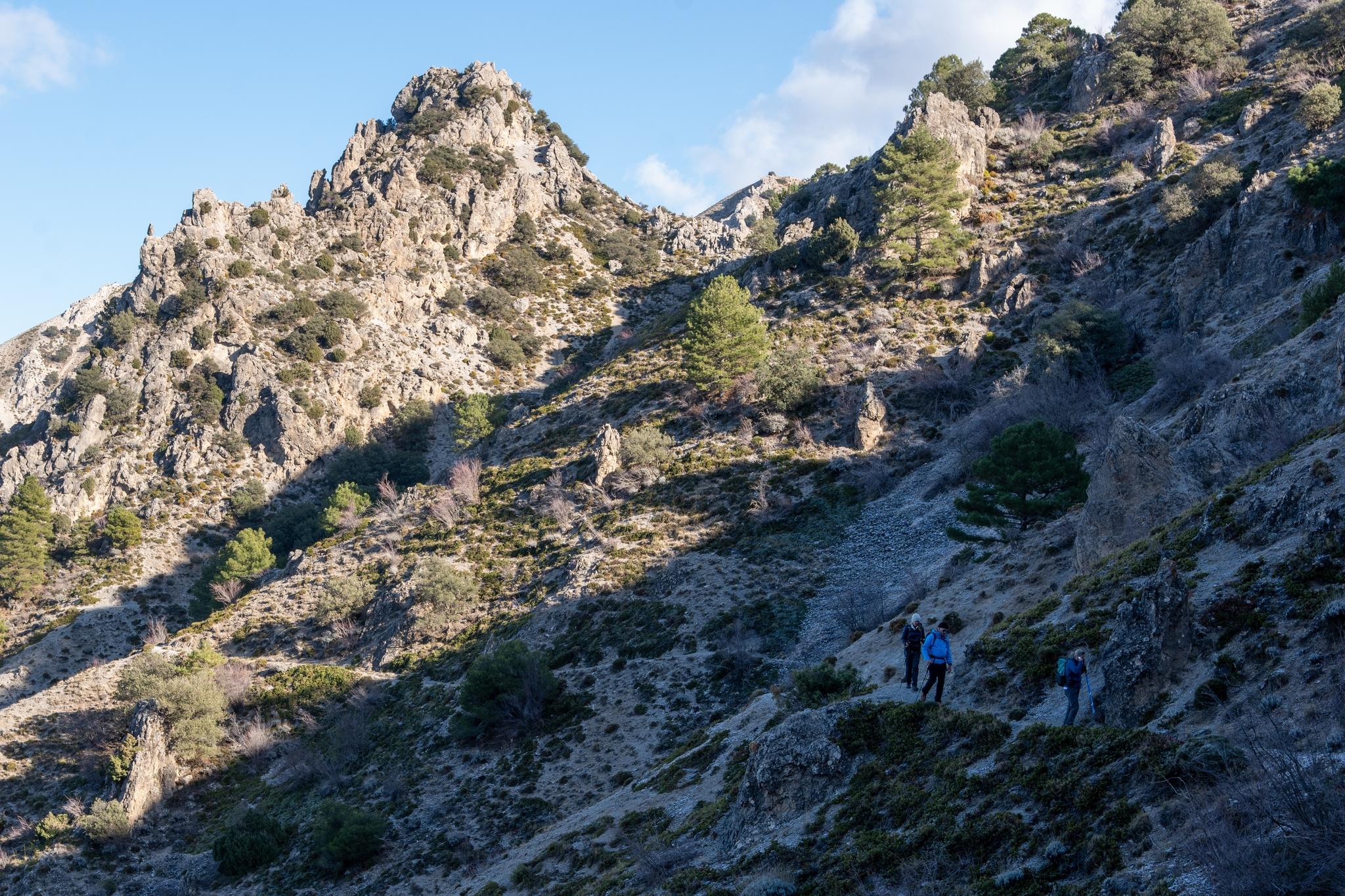
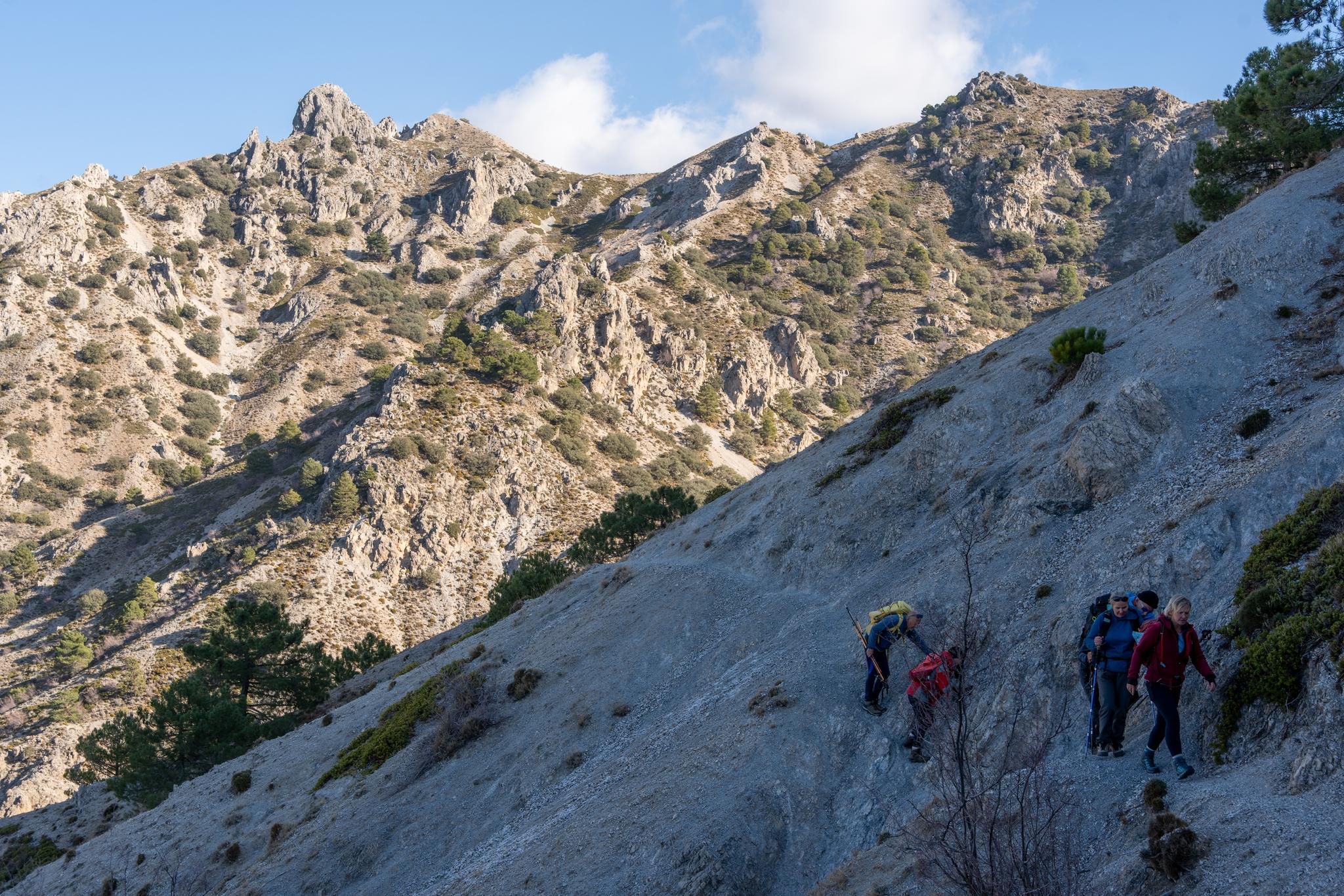
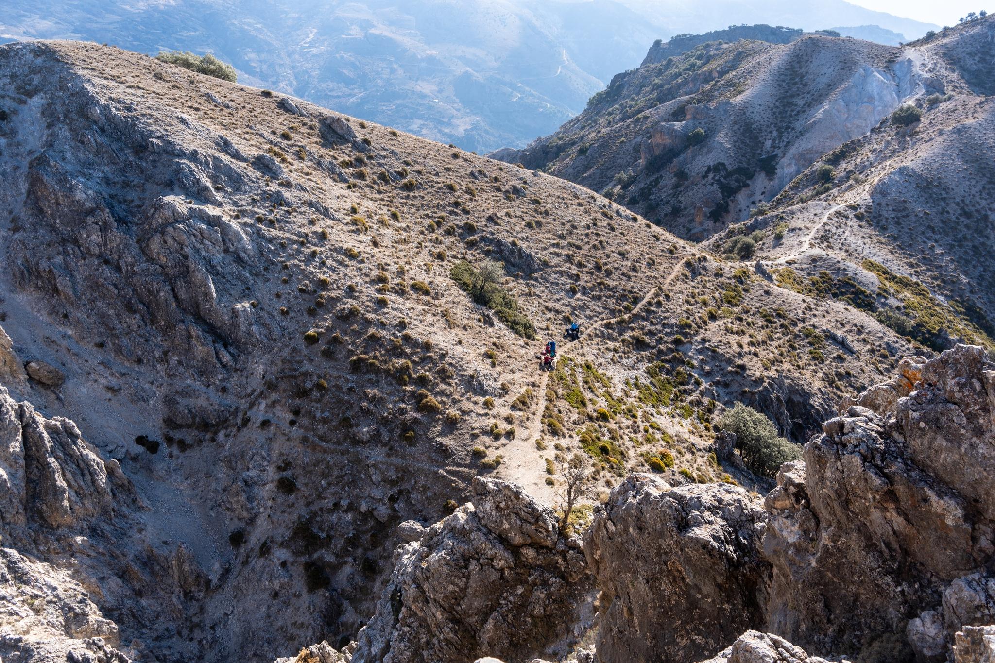
The return journey involved the spectacular traverse path north of Picacho Alto 1776m to the Collado de Abantos followed by zig zag descent westwards down to meet the forest road that returned us to our cars.

Didn't see anybody on this route of 14km with 1030m of ascent and descent. Recommended.

(3/3)
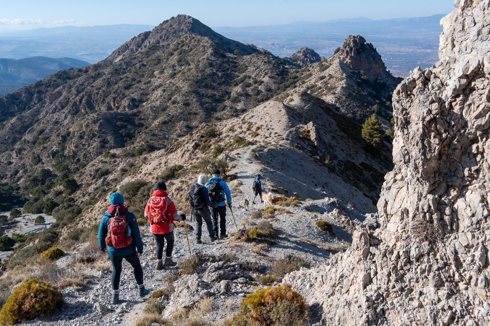
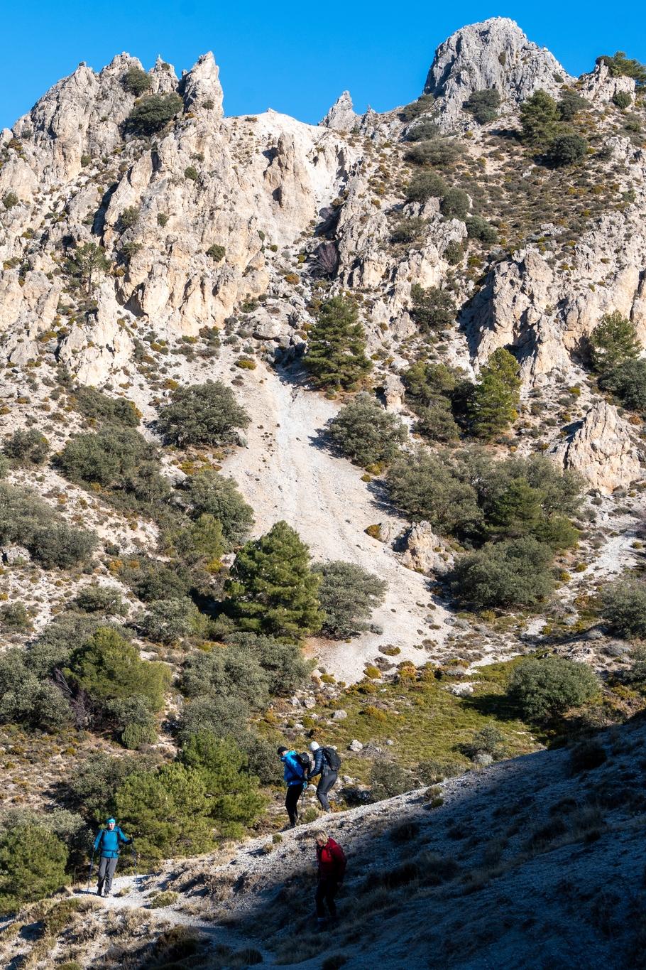
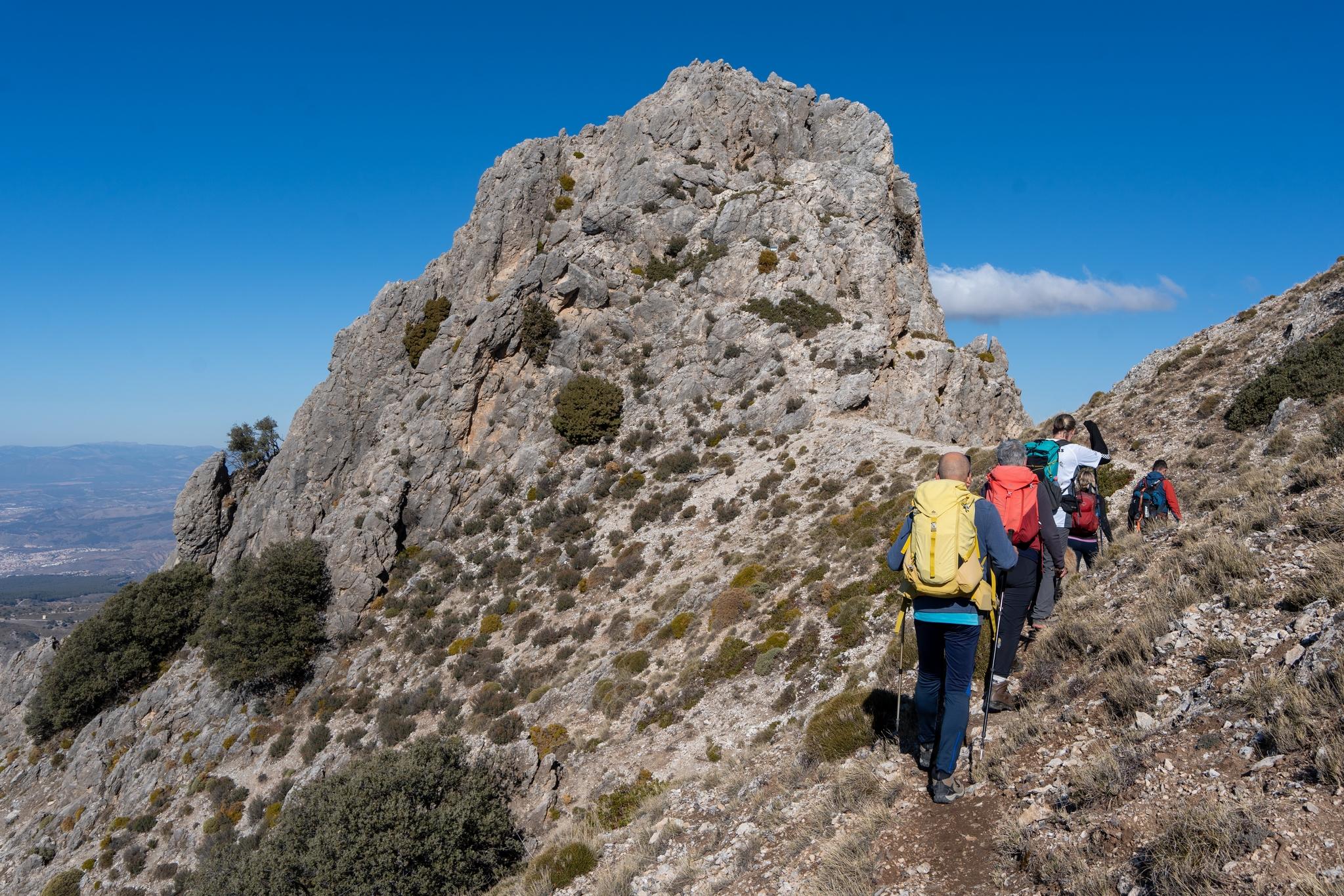
Hikers descending along the ridge towards the peak of Picacho Alto

The traverse path between Corazon de la Sandia and Picacho Alto

Hikers descending a sunlit ridge

Some steep loose terrain on the traverse path. Corazon de la Sandia on the skyline

A few minutes away is the superb summit pyramid. A small col in a dramatic situation is the place to have a rest and admire the plunging rock scenery.

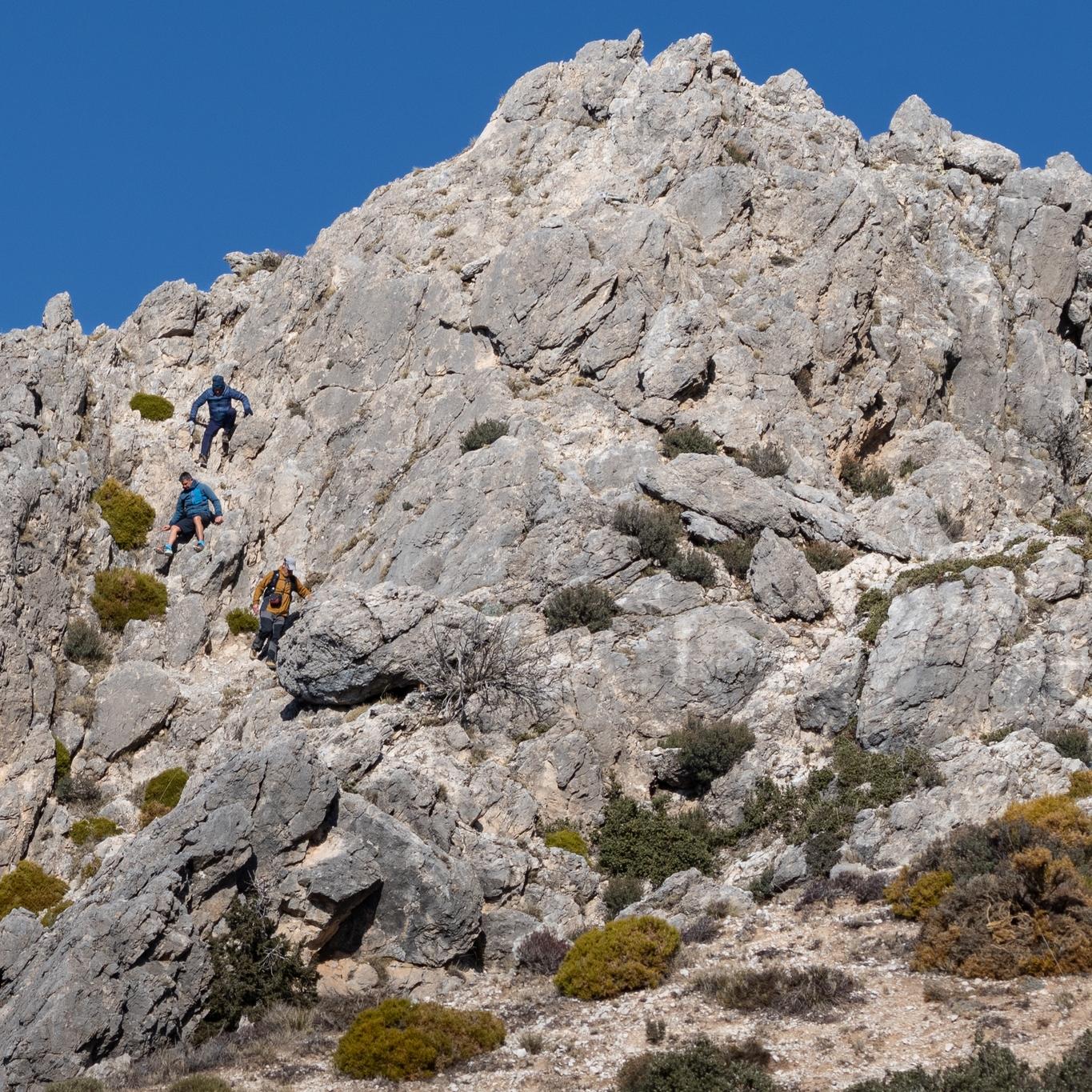
The scramble to the summit is simple but needs care. The summit itself is small and airy, just as a summit should be.

(2/3)

The scrambling descent route from the summit

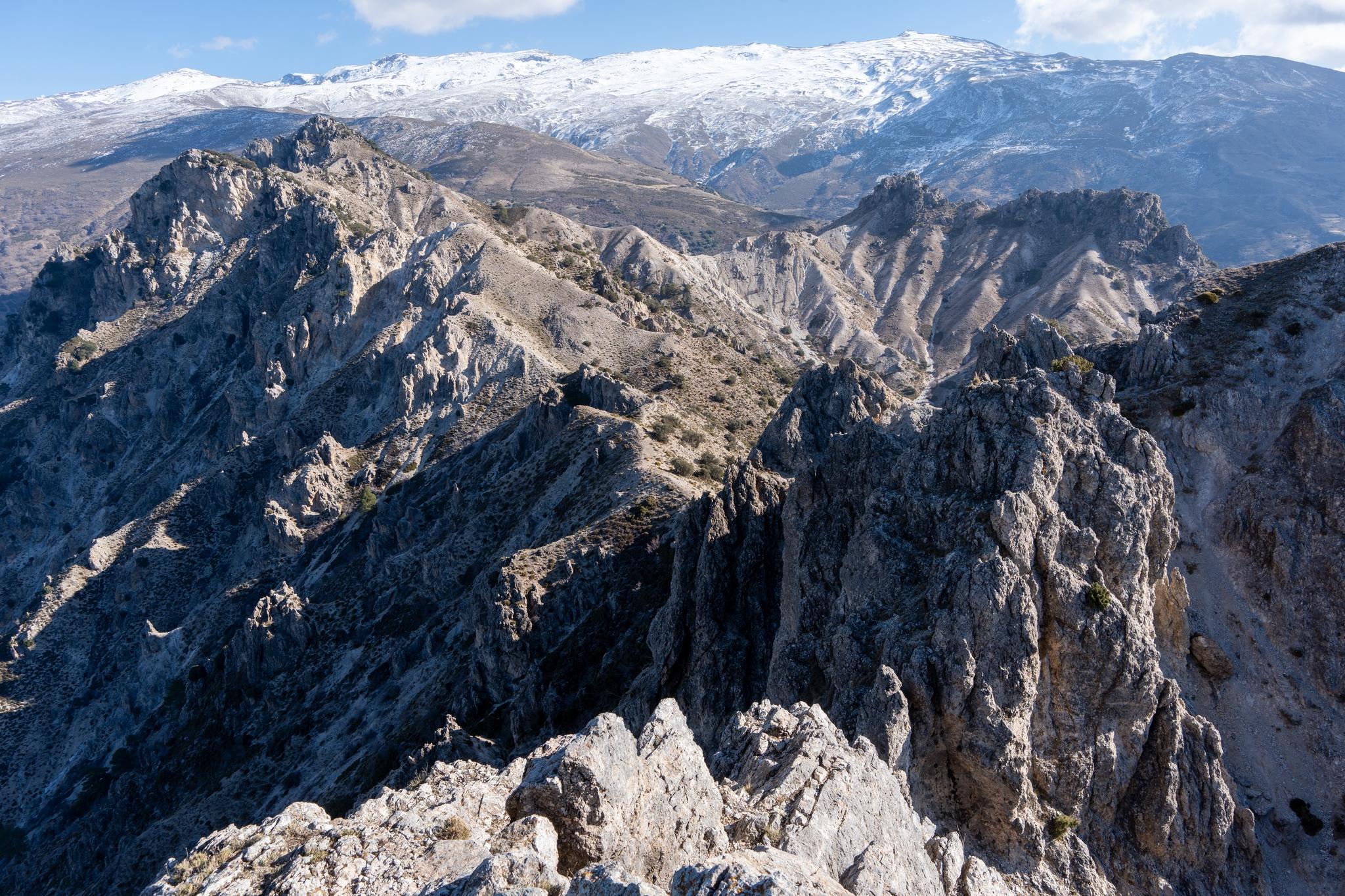
View east to the main snow covered Sierra Nevada range

Looking down to the col below the summit pyramid

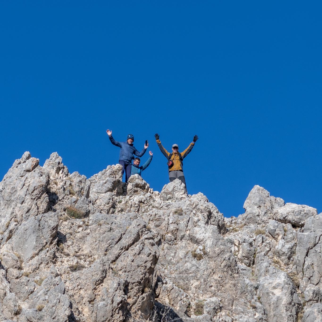
Three of us on the summit of Corazon de la Sandia

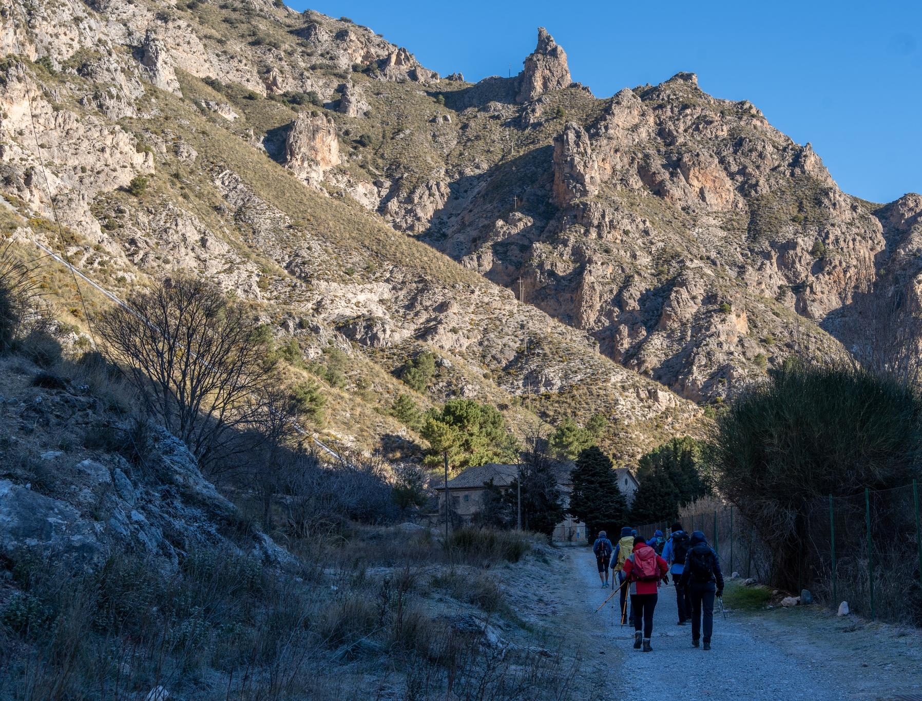
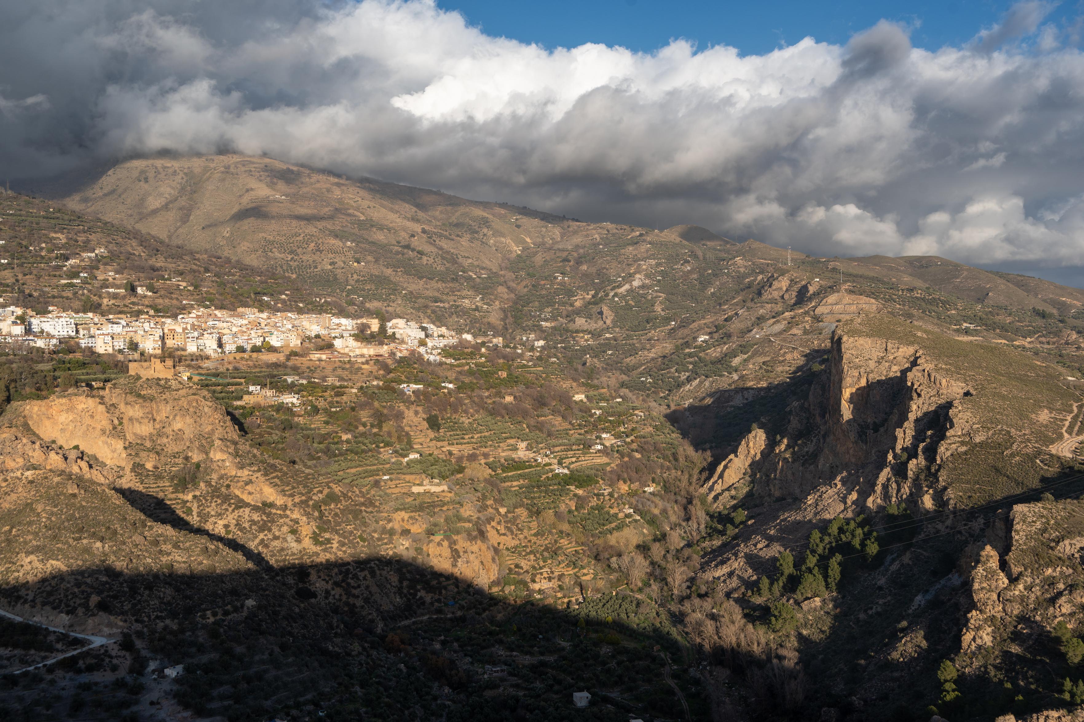
The Corazon de la Sandia (1885m) is is one of our favorite hikes. We started an ascent yesterday in the cold morning air of the Dilar Valley. Crossing the Rio Dilar we followed the twisting gorge of the Rambla del Rio Seca for 3km then heading up a steep slope, on a faint path, directly to the col R of the peak.

(1/3)

Group of hikers walking in the shade towards a distant mountain peak with sun on it

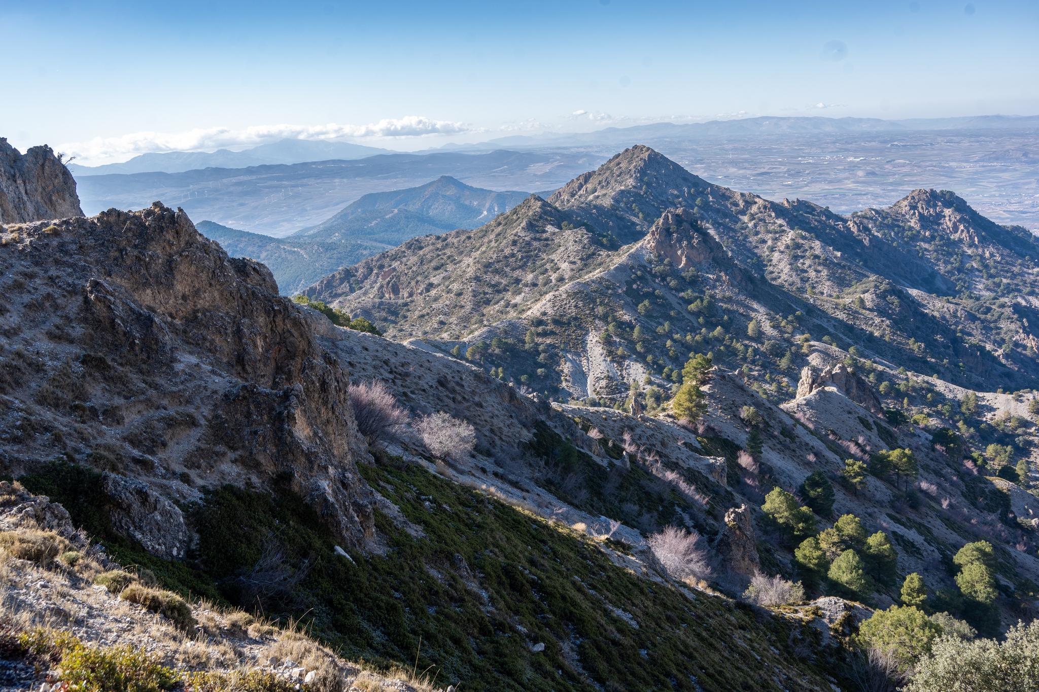
Looking west towards the peaks of Picacho Alto range

Approaching the summit pyramid of Corazon de la Sandia

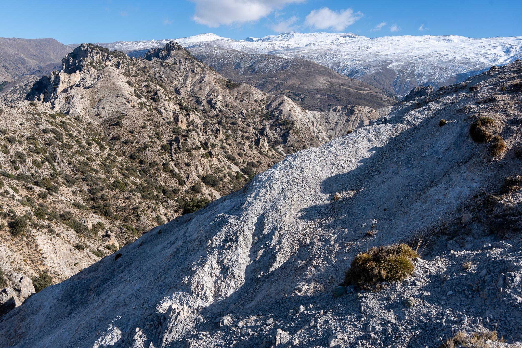
The arid terrain in the foreground contrasts with the high mountain snows behind

Big day today on Corazon de la Sandia. There is no easy way up this peak, easiest route involves over 1000m of ascent & 14km. Nevertheless, despite the name, the "Heart of the Watermelon" is a dramatic peak.

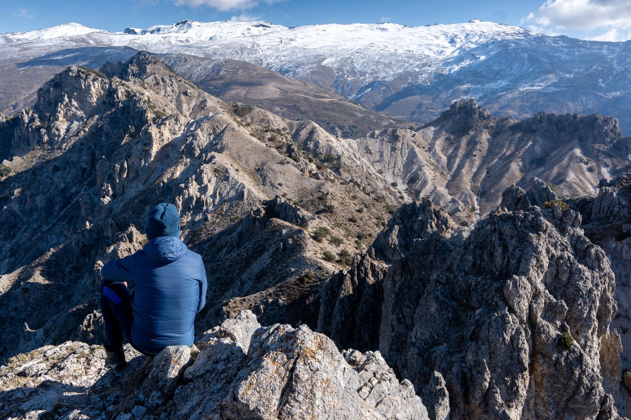
Will write more tomorrow about the route. Until then here's a view from it's rocky summit, looking towards the main Sierra Nevada range. The wonderful mountain scenery in between needs few words. It's tremendous!

A person is sat at the summit of a mountain with a jagged series of peaks stretching into the distance. Beyond rises some even higher snow clad mountains

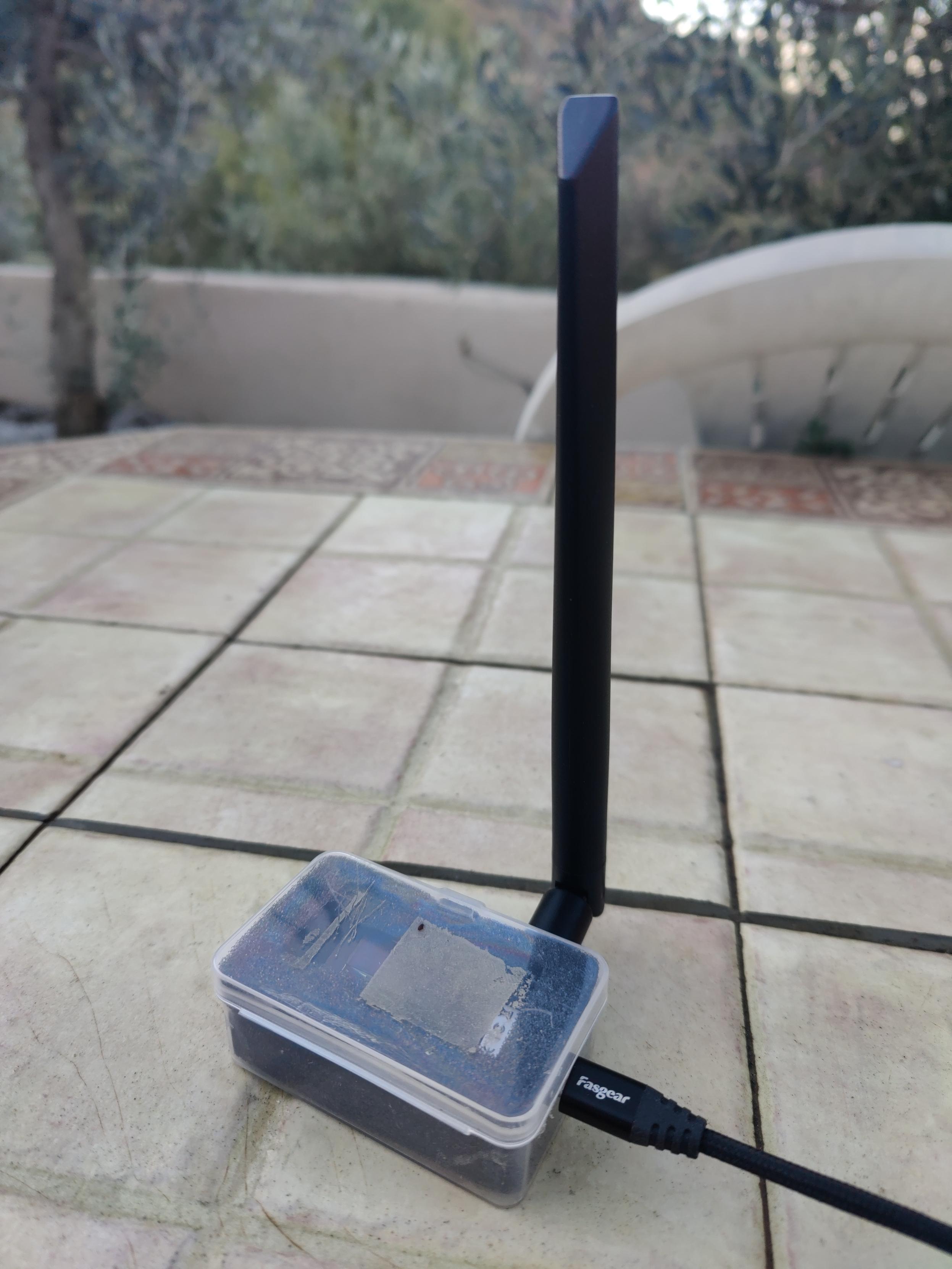
A tiny 21€ Lillygo LoRa board with antenna hooked up to my Meshtastic network.

onboarding easier than but uses only LoRa for communication. Range testing next.

You can tell I'm from Yorkshire. Commercial 3d boxes cost twice as much as the cost of the radio itself, so I drilled some holes in the original box it came in. Job done 🤣

A tiny Lillygo LoRa board with antenna hooked up to my Meshtastic network

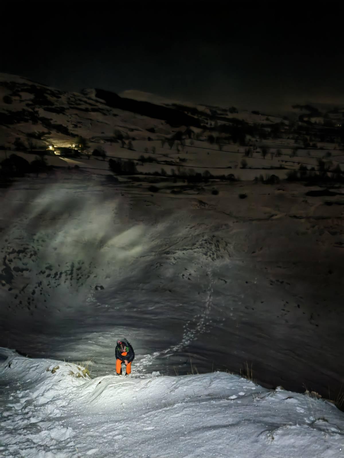
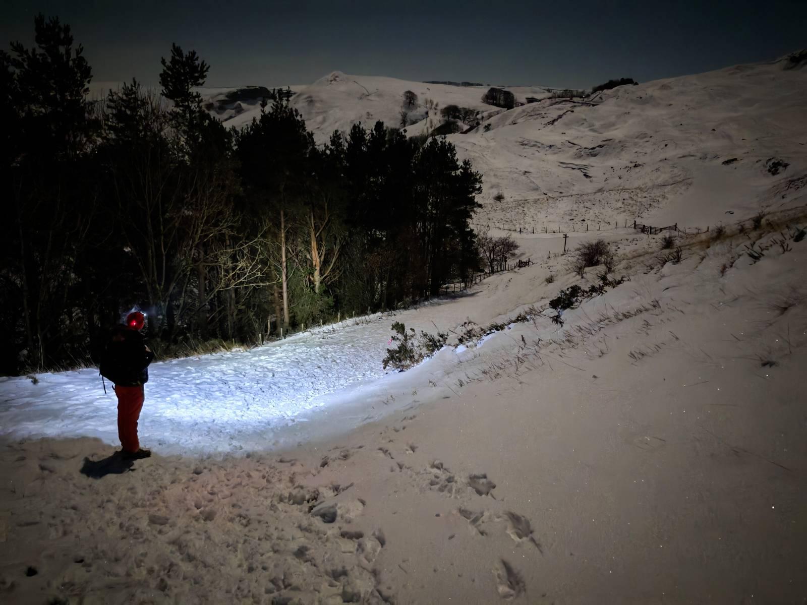
So proud of my two daughters. I just couldn't ever get them interested in climbing hills & mountains. Now, both in their 40's, they are qualified mountain leaders, do SAR stuff and go out at night into the hills to play in the snow. Why couldn't I get them to do that? 😂

Believe it or not this is on Mam Tor in the Peak District

A person in orange pants is in the snow in the foreground illuminated by head torch. Behind is a dark snowy scene with only some lights from a farmhouse showing

A person stands at the side of a dark forest at night. The way ahead is illuminated by his headtorch. The snows lead up to a broad mountain peak

I've always been interested in navigation. From reading wonderfully detailed paper maps by a winter fireside to micro navigating my way out difficult mountain terrain in a blizzard. Navigation has been made much simpler recently due to sophisticated GPS mapping systems. It's all interesting stuff. And, just when you thought we couldn't get much better .... Quantum Navigation appears out of the gloom. Interesting eh?

https://scitechdaily.com/revolutionary-quantum-compass-could-soon-make-gps-free-navigation-a-reality/

That's the last time I'm ever going into an Ikea. Must have done 5 miles twisting and turning down alleyways and walkways lined with people and products 😂. No direct route to the part of the store you are looking for. At the end ... the €18 product we wanted. Online only, if at all, for me from now on.

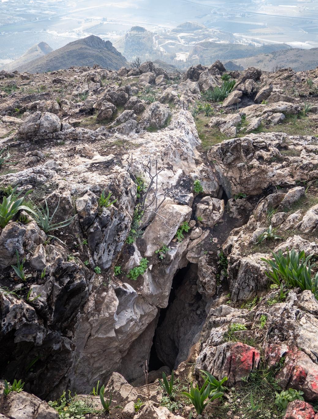
Yesterday we came across an interesting and unusual feature that we've never encountered before in mountains (outside of Kamchatka in 2013). A deep crack/crevice was found near the summit of Morron de Enmedio at 1098m in the Sierra Elvira. Coming up out of the crack was a constant strong blast of warm wind. This feature (the Raja Santa cavity) is just west of the summit if you want to experience this for yourselves. Natural warming for a cold winters day!

(1/2)

A large crack in the mountain top shows a deep 160m deep hole. Small green plants are growing round the side of the hole

As we had never been to these mountains before we called this walk "The Sierras We've Never Heard Of"! The Sierra Elvira lie just NW of Granada city. Good motorway connections mean the start is just 45 mins drive from our home base in Lanjaron.

We started the walk at the large parking area at Collado de los Pinos and made our way up through pine forests and open slopes to the Collado del Morrón del Punta.

(1/3)

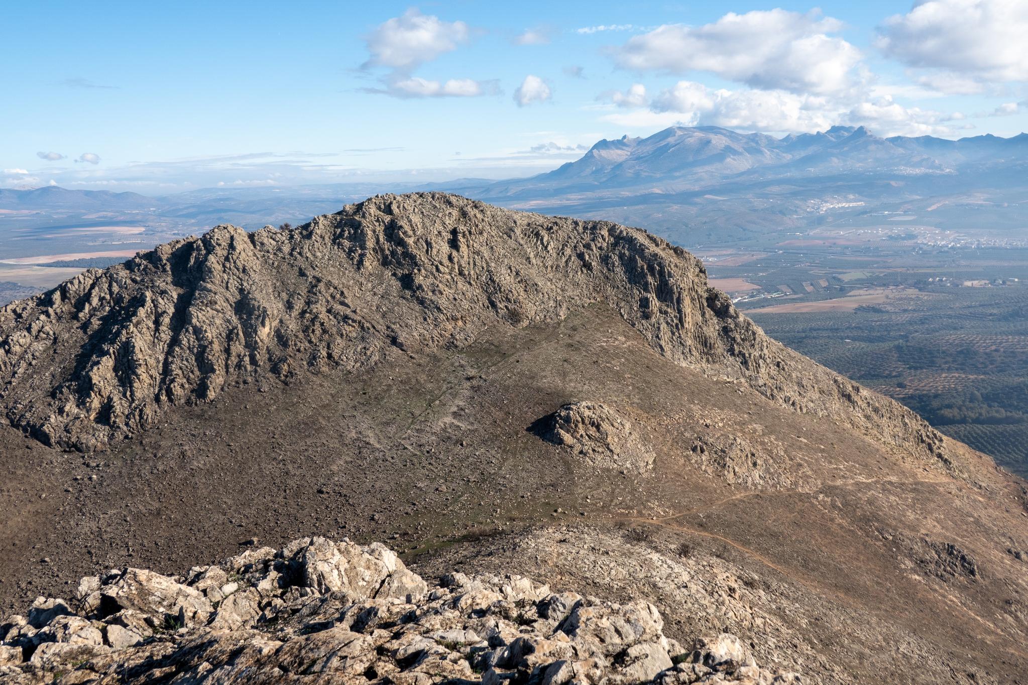
Looking back to the Collado de los Pinos and Morron del Punta

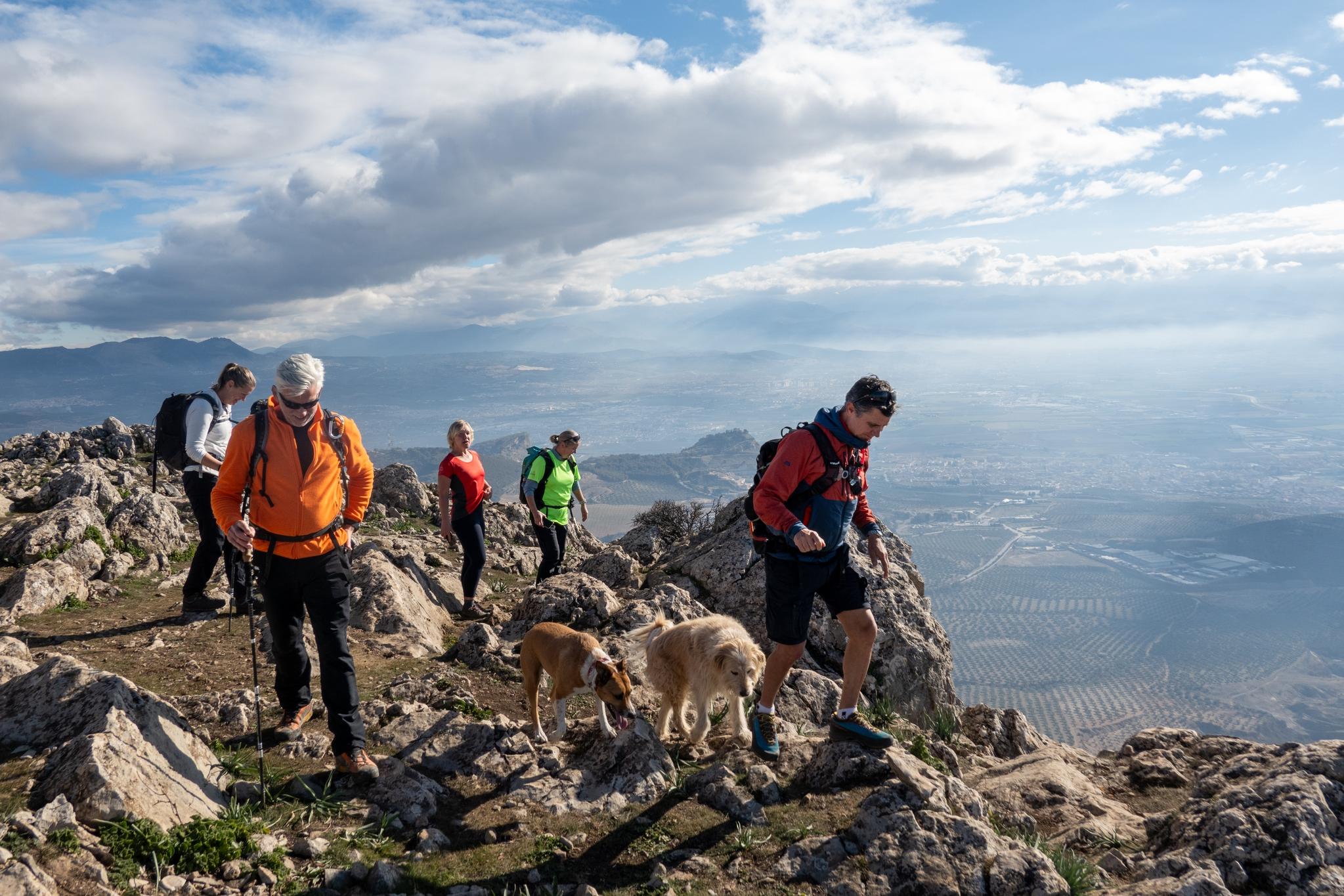
Walking along the summit ridge

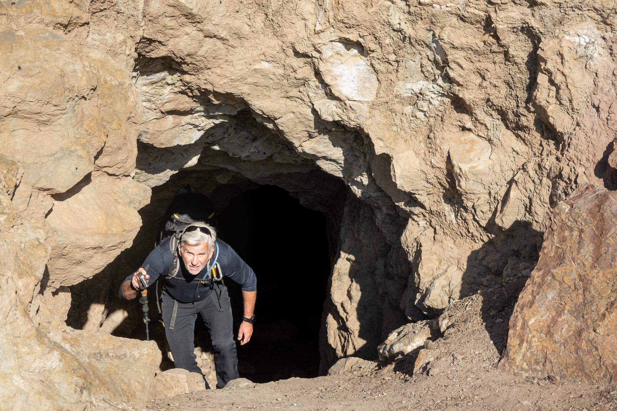
Appearing out of a deep cave near the start of the route

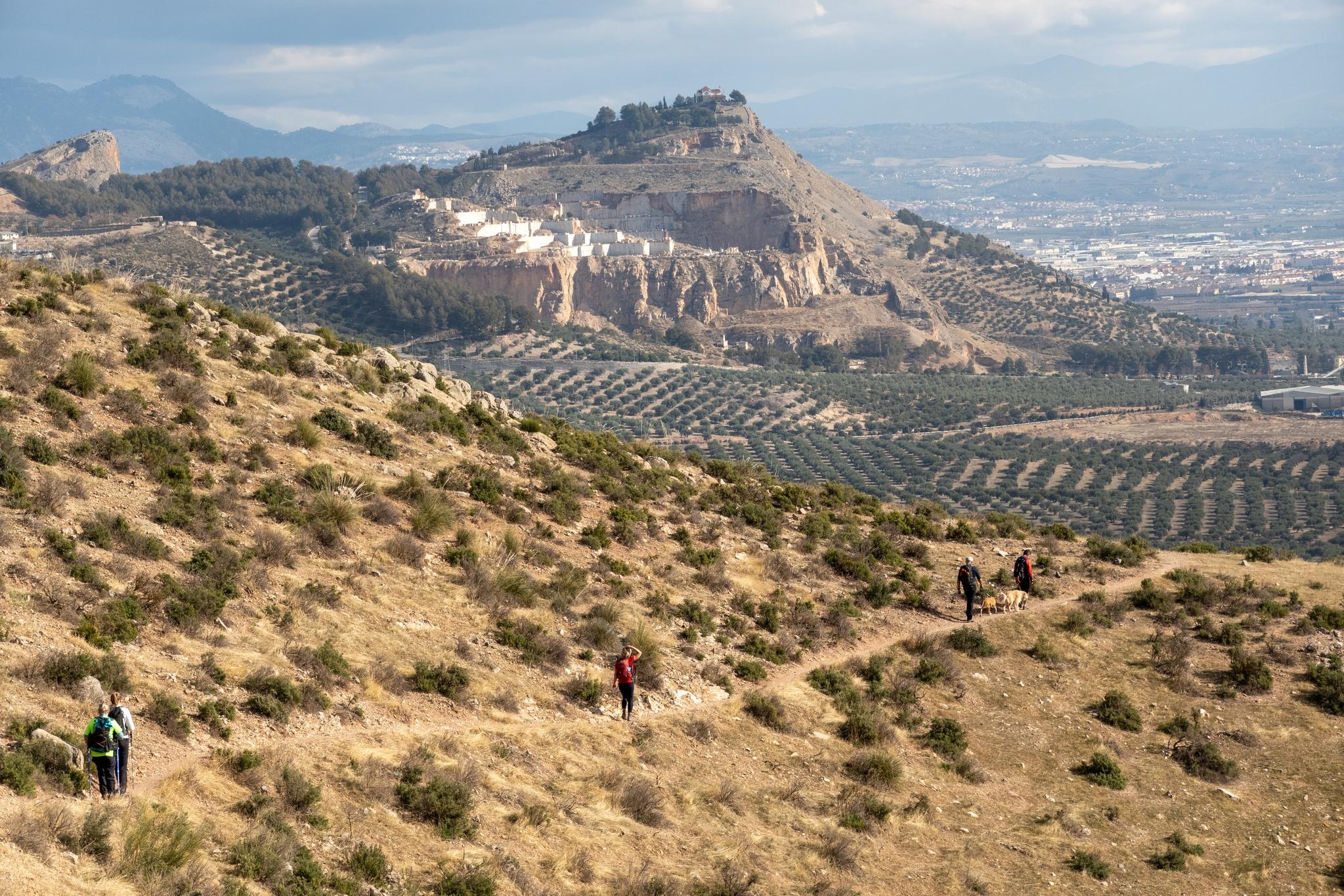
The route back with views to the marble quarry and Ermita on the hill