Micro Blog

El Perro Negro's Day to Day Ramblings

Notes (1046)

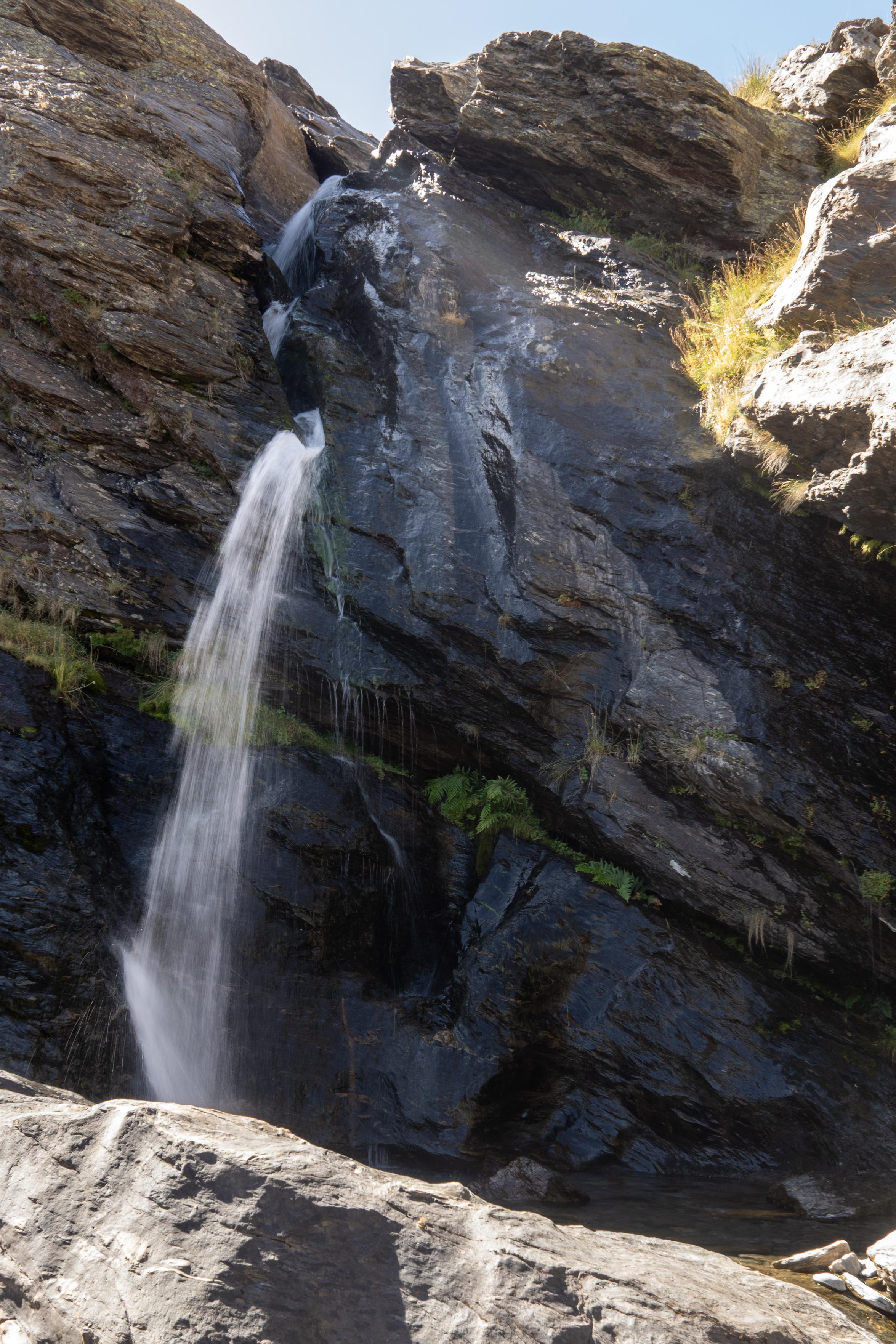
After a bit of a grey and dismal long weekend in the UK, today it was nice to head up above home on 4WD tracks and get the clearest view of the African continent we've had this year. Morocco did indeed seem very close, although in reality is some 220km away in a direct line across the Mediterranean.

View from the summit of las Alegas, 2700m looking south over Salobreña to Al Hoceima in Morocco
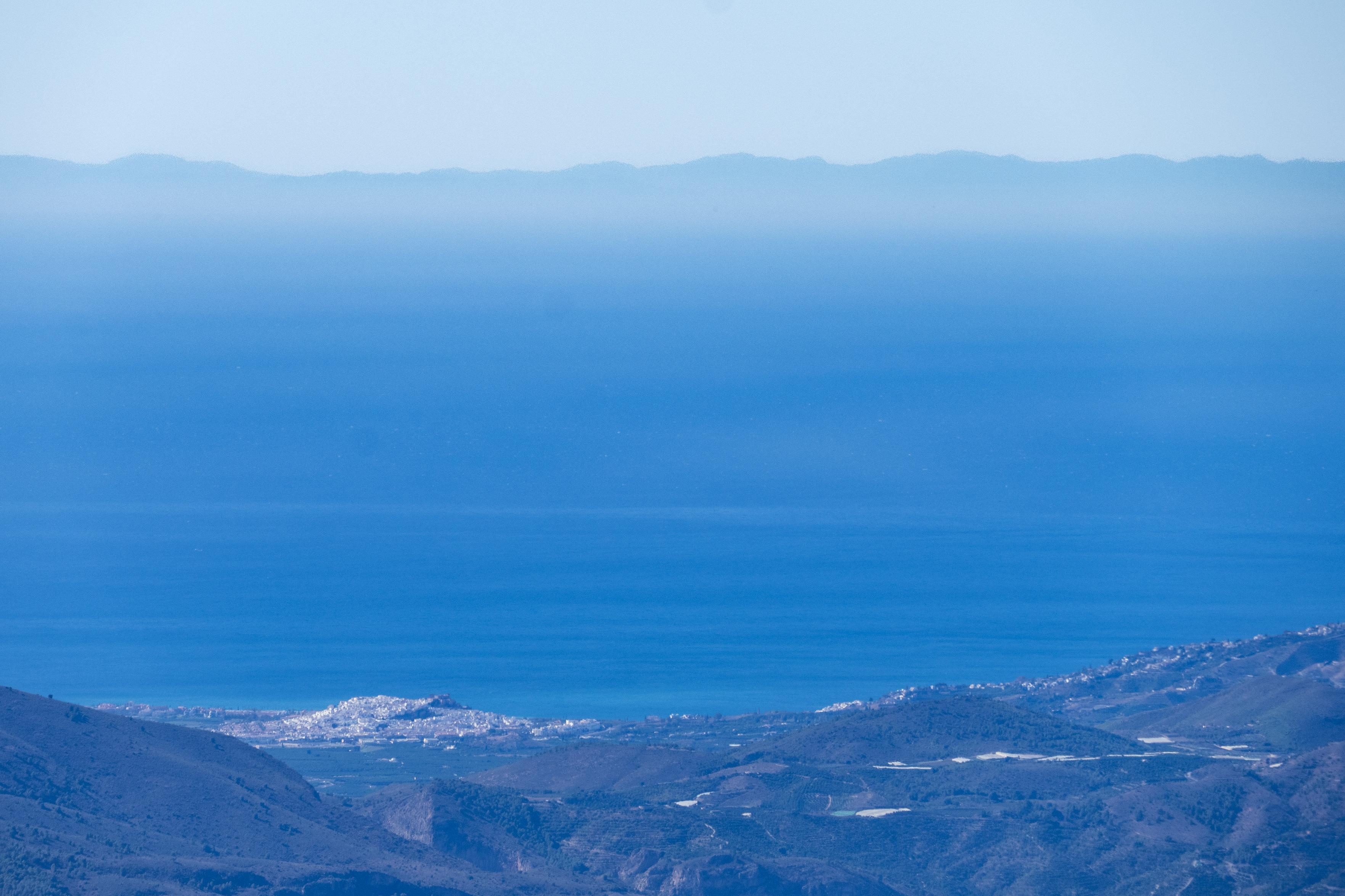
View from the summit of las Alegas 2700m looking south over the white town of Salobreña, over the blue Mediterranean Sea to Al Hoceima and hills in Morocco.

There are some amazing online & Management apps out there. I've tried most of them. As I get older & focus more on reducing pack weight, I realized that none of the existing solutions quite fit what I am looking for. So, 6 months ago I decided to create something for myself. Been using ever since.

It's for all. No a/c registration required as all data stored locally. It may work for you, it may not. It works for me.

https://hikeliteapp.com/

Sometimes the ways of the world get me down. Why oh why can't we just be nice to each other?

But all that negativity disperses when I do the morning dog walk. Life isn't so bad after all is it?

Have a great weekend everybody!

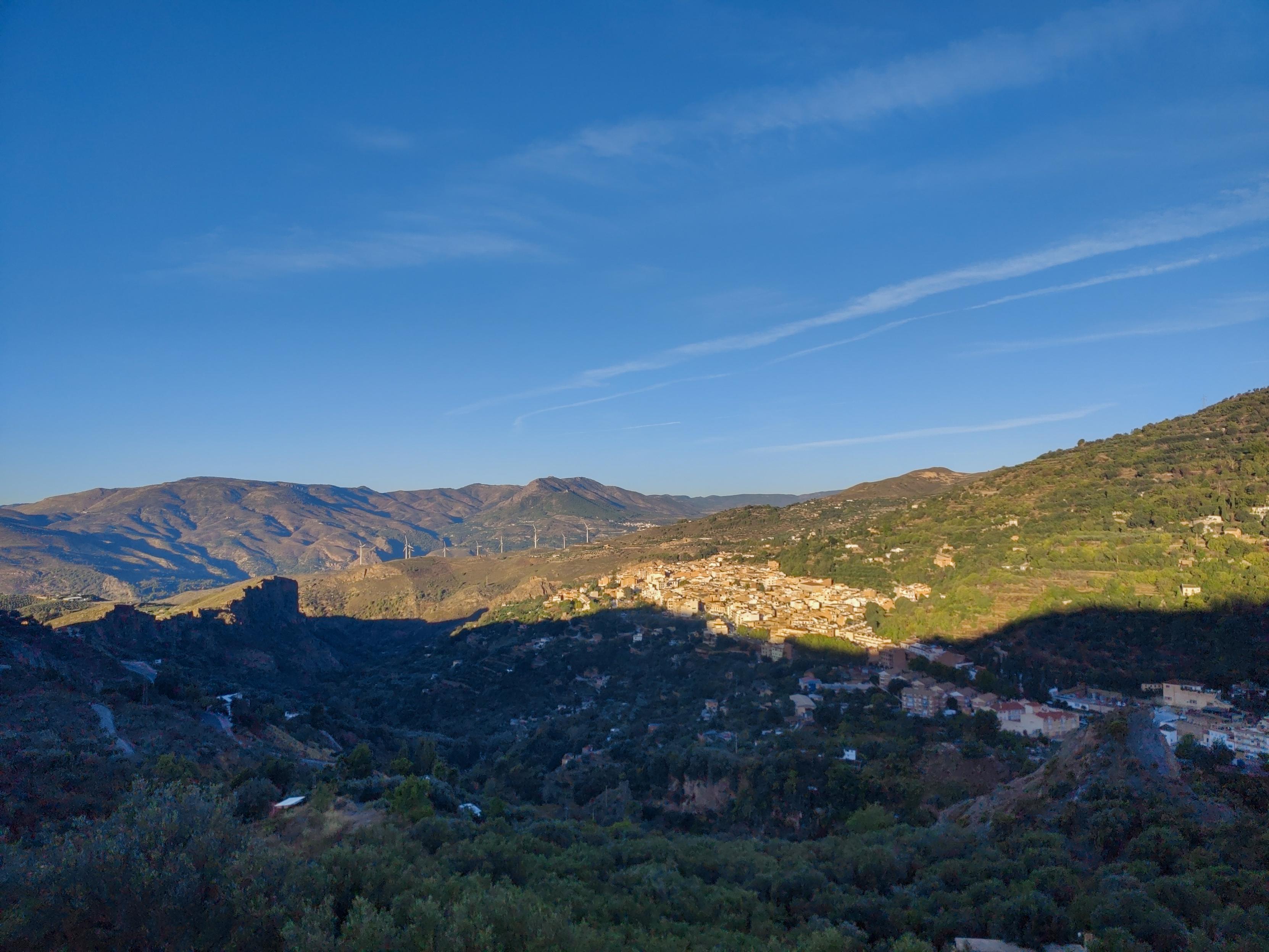
Shadowed olive trees with sun hitting a Spanish town in the distance. Distant mountains

Fantastic half-day hike up the isolated peak of Gilillo in the stunning Parque Natural de la Sierra de Cazorla.

Begins with gentle ascent through beautiful forests before breaking out onto the open hillside. Trail leads up to the Puerto Gilillo pass and onto a summit that is far more dramatic than we expected.

The summit itself is sharp and rocky, and because the peak stands so alone, the 360-degree views of the endless sierras are absolutely breathtaking.

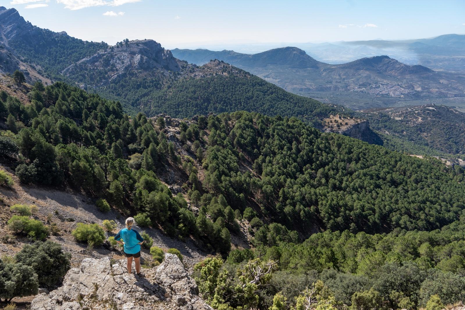
A person with blue shirt stands on a rock looking down over hills and forests

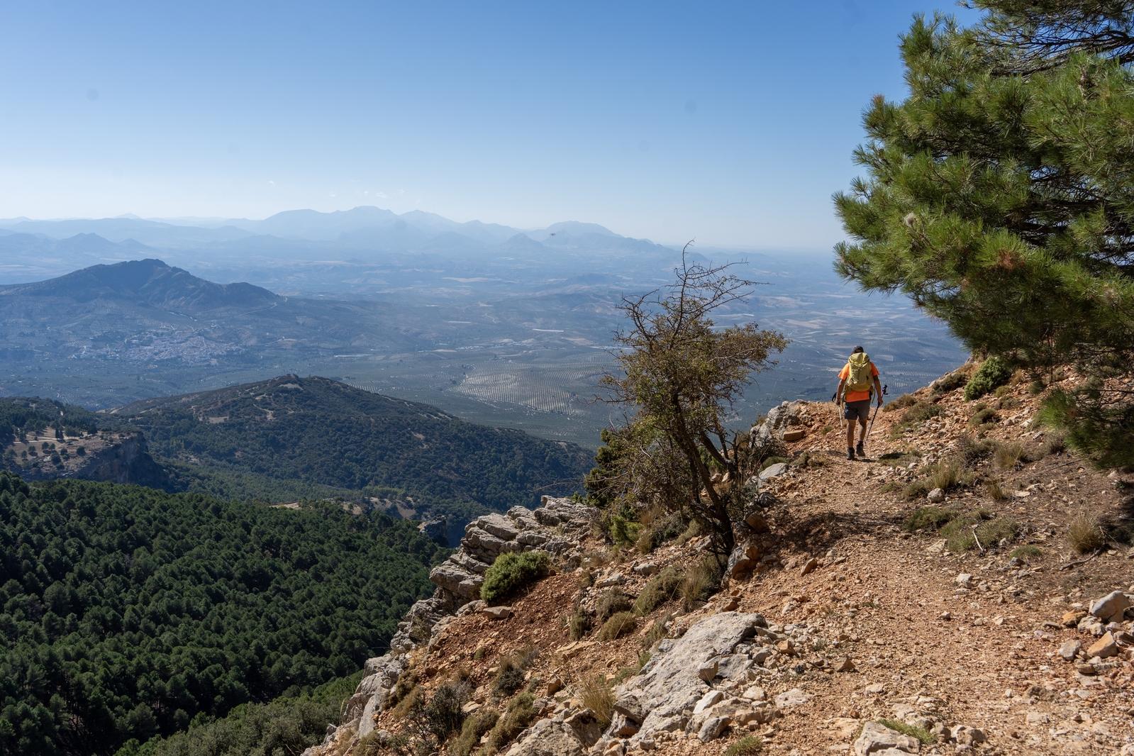
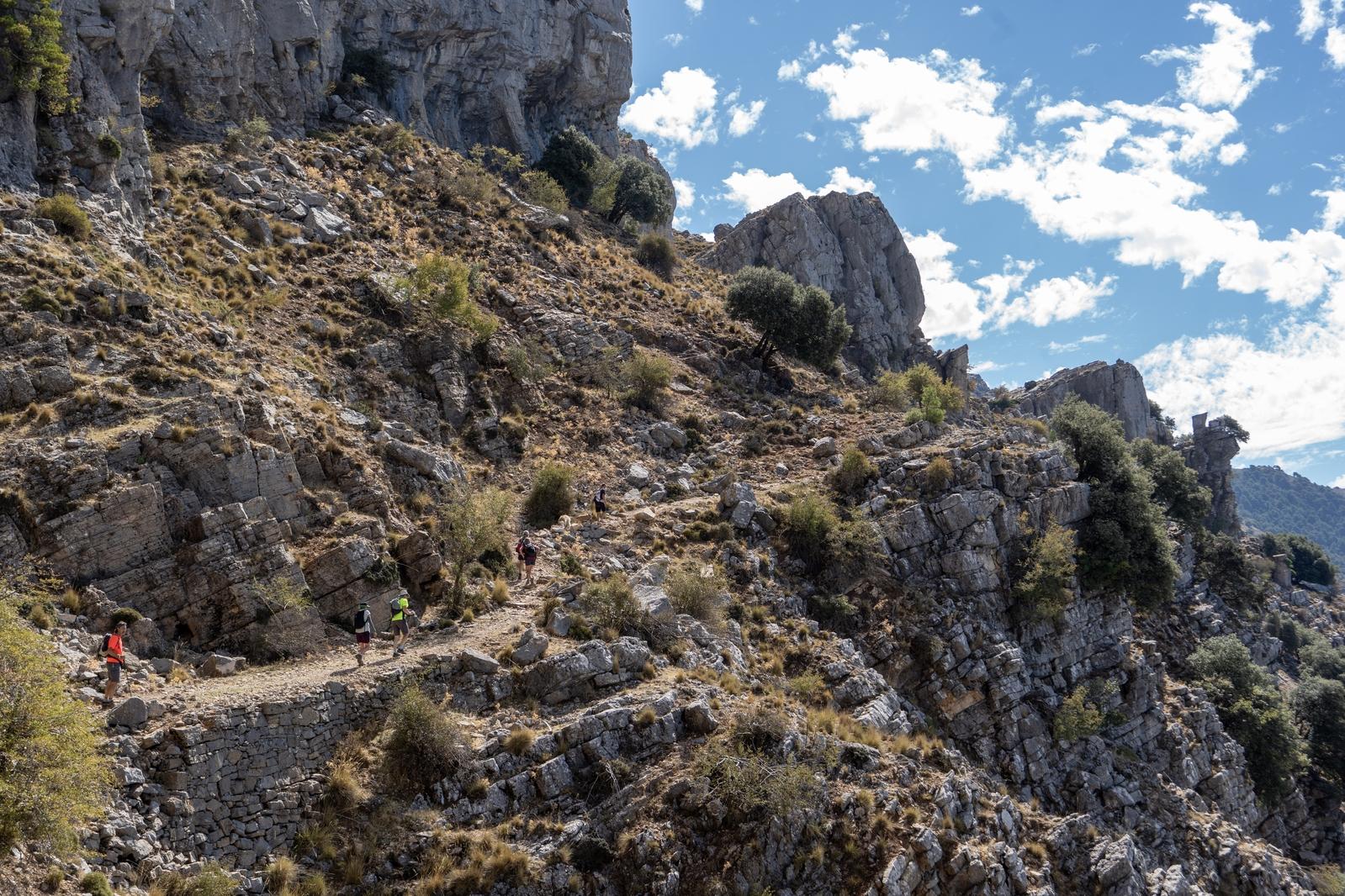
A person in red walks along a high trail between two trees. There is a drop to the left

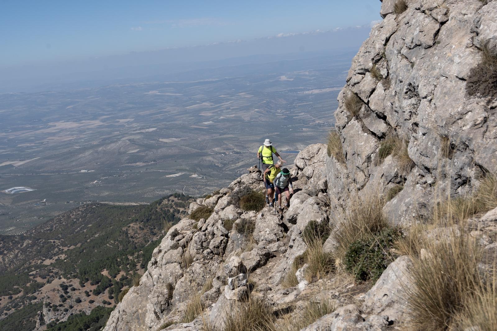
The traverse round the peak to attain the summit. 3 hikers negotiate a narrow path

Our group ascend a traverse path leading to to the summit of Gilillo peak 1845m

Hard photographing birds in flight isn't it? Especially for a landscape photographer who's subject is pretty much static. Thing is with birds, the little blighters just won't stay still, will they?

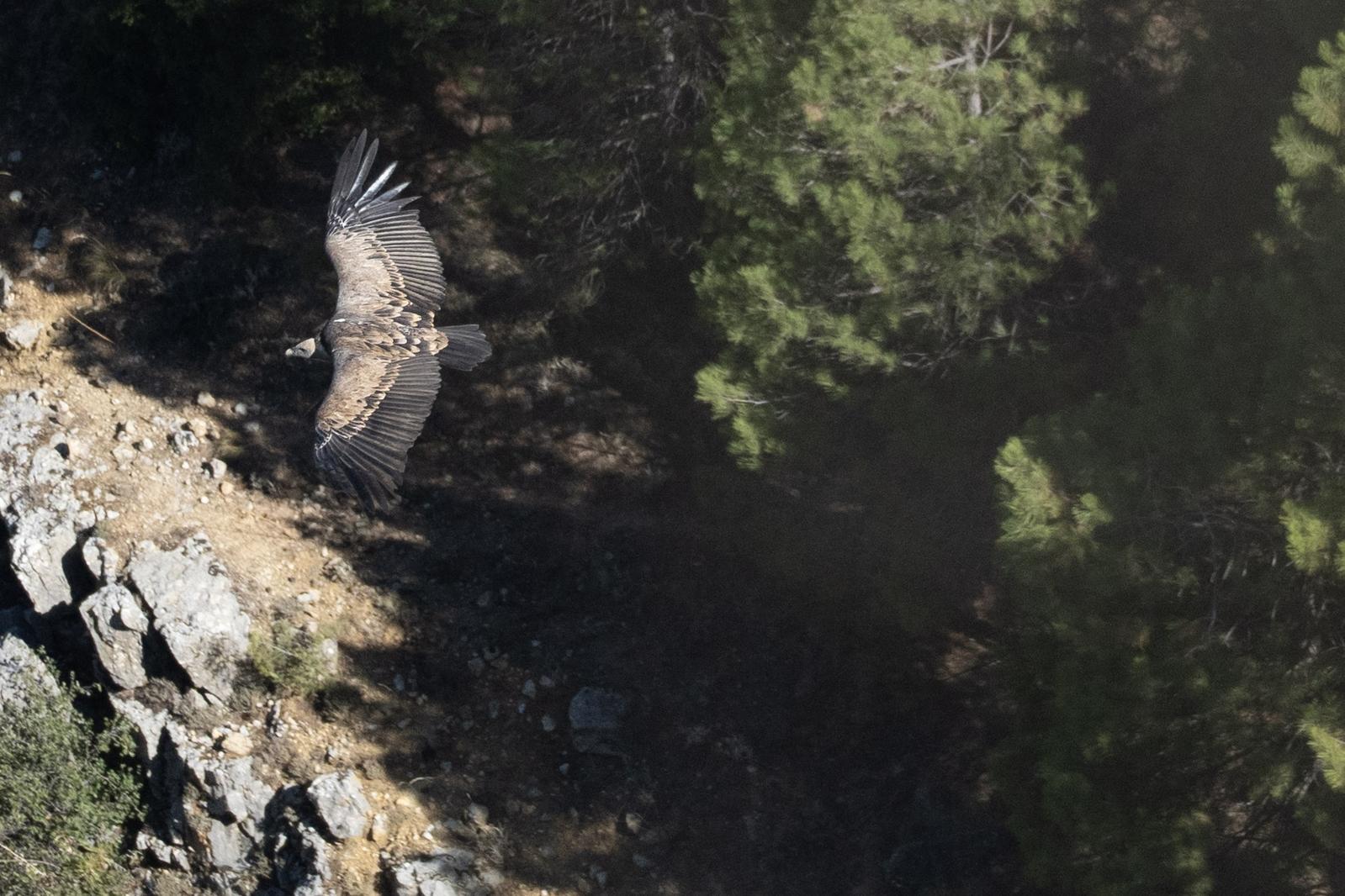
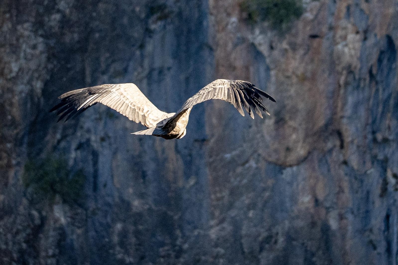
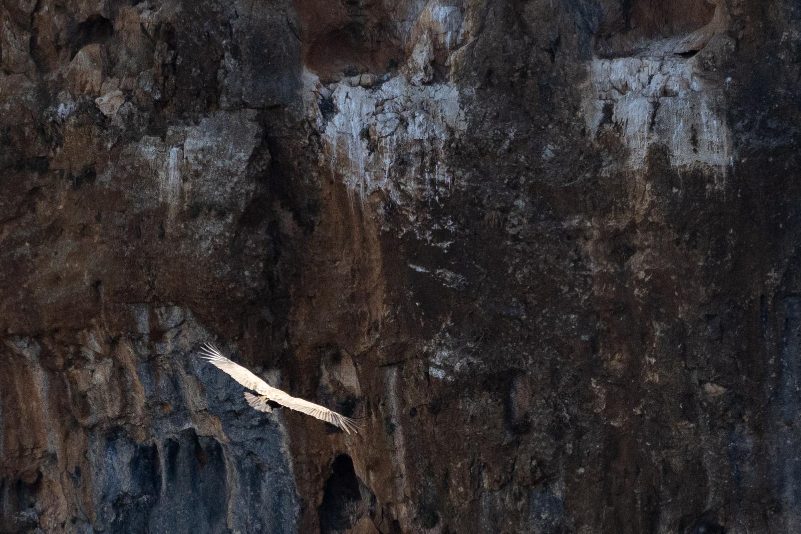
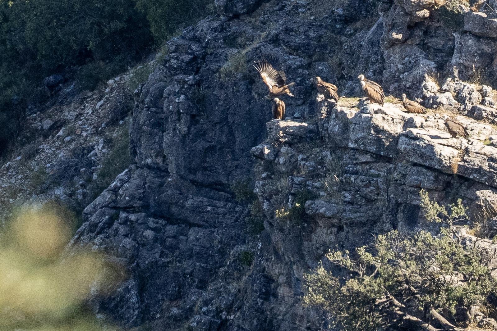
Here's 4 images of the Griffon Vulture from a photo shoot I did a few days ago at the amazing El Chorro cliffs in the Sierra de Cazorla a few days ago. Keep rate was probably 1/50 🤣

Shows a Griffon Vulture in flight over green terrain

Shows a Griffon Vulture in flight with vertical rocky cliffs behind in shadow

Shows a Griffon Vulture in flight with vertical rocky cliffs behind in shadow

A group of Griffon Vultures sat on a sunlit rocky platform. One in just in the process of taking off

Not a menu for @khusky my vegetarian wife. Maybe she could try the Vegetarian Croissant tapa though which only includes a bit of tuna? Don't you just love rural Spain 🤣

A black on white list of tapas available in a Spanish restaurant

View

Been a bit out of my comfort zone today. Instead of hills and mountains I've had to do a cultural tour showing a lovely couple around my local home town of Lanjarón in the Alpujarras. So its the Arabic influence with "acequias", history and castles mixing with the Christian architecture, churches and traditions. Turns out, I live in a very varied and interesting place 🤣

Been playing with CursorAI today. Believe they call it . No doubt however that it's remarkably fast at turning ideas into websites.

Here's my new website announcing the arrival of NomadNet, a mesh for the Alpujarras, Spain.

Been a hobby for a while but basically I've got sick of talking to myself each day 🤣 .

The network has now a sound base and I've plans for further repeater expansion. Hopefully others might be interested too?

https://nomadmesh.org

1/ Casilla de Agua - Peñon de Granada - Rambla del Durcal Sierra Nevada

Yesterday we explored the hills east of Durcal. A tough 800m of initial ascent made much easier by an unrelenting but well graded track that zig-zagged up the hill.

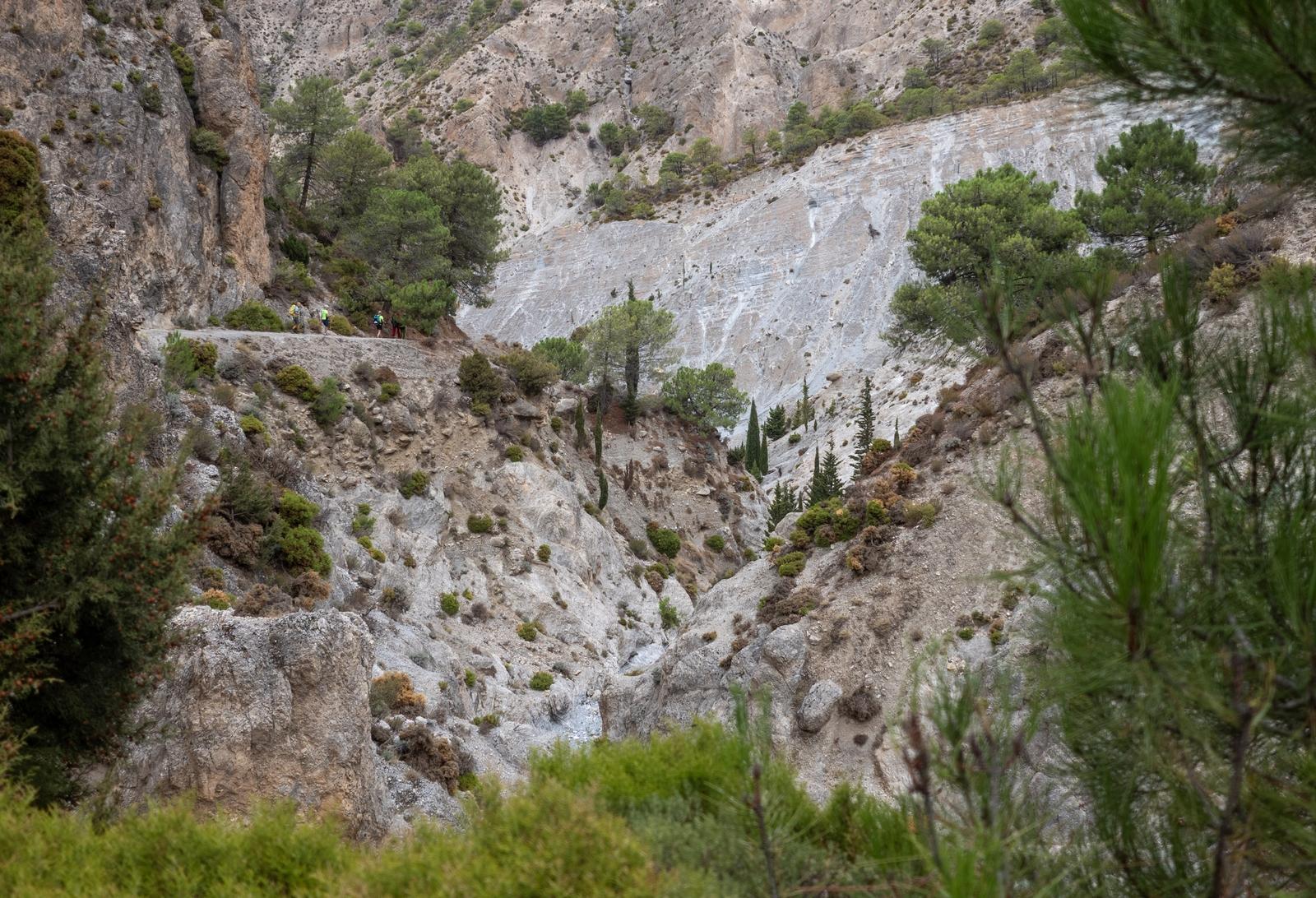
We made our way through the forested back country near the Peñon de Granada and then proceeded down dirt tracks to drop into Rambla del Durcal.

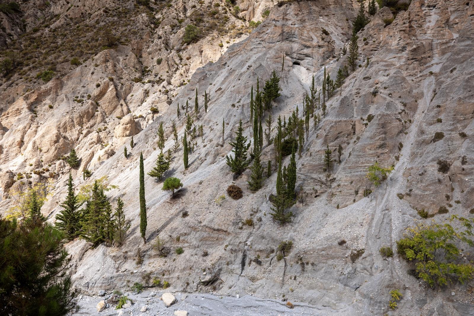
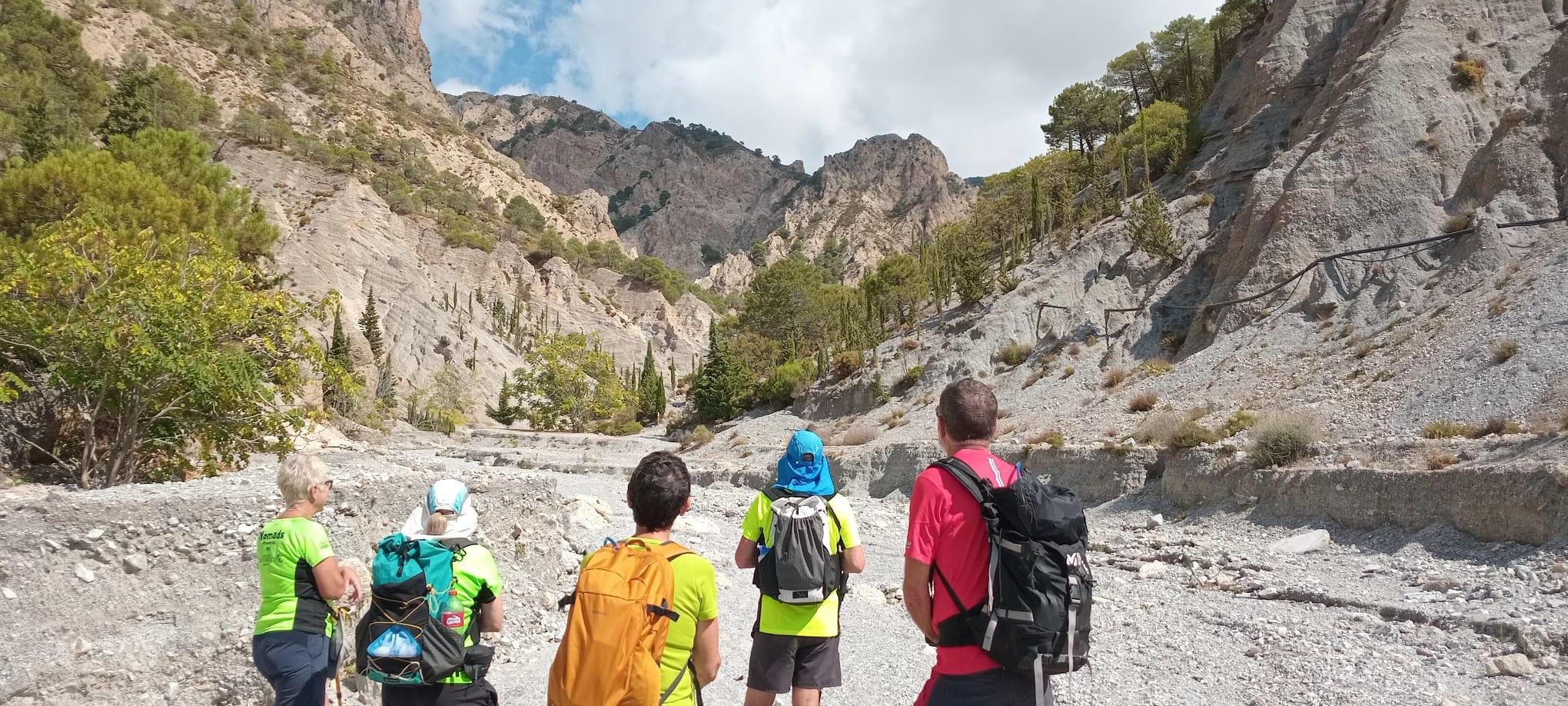
5 hikers gaze up into the heart of the rough arid valley of the Rambla del Durcal

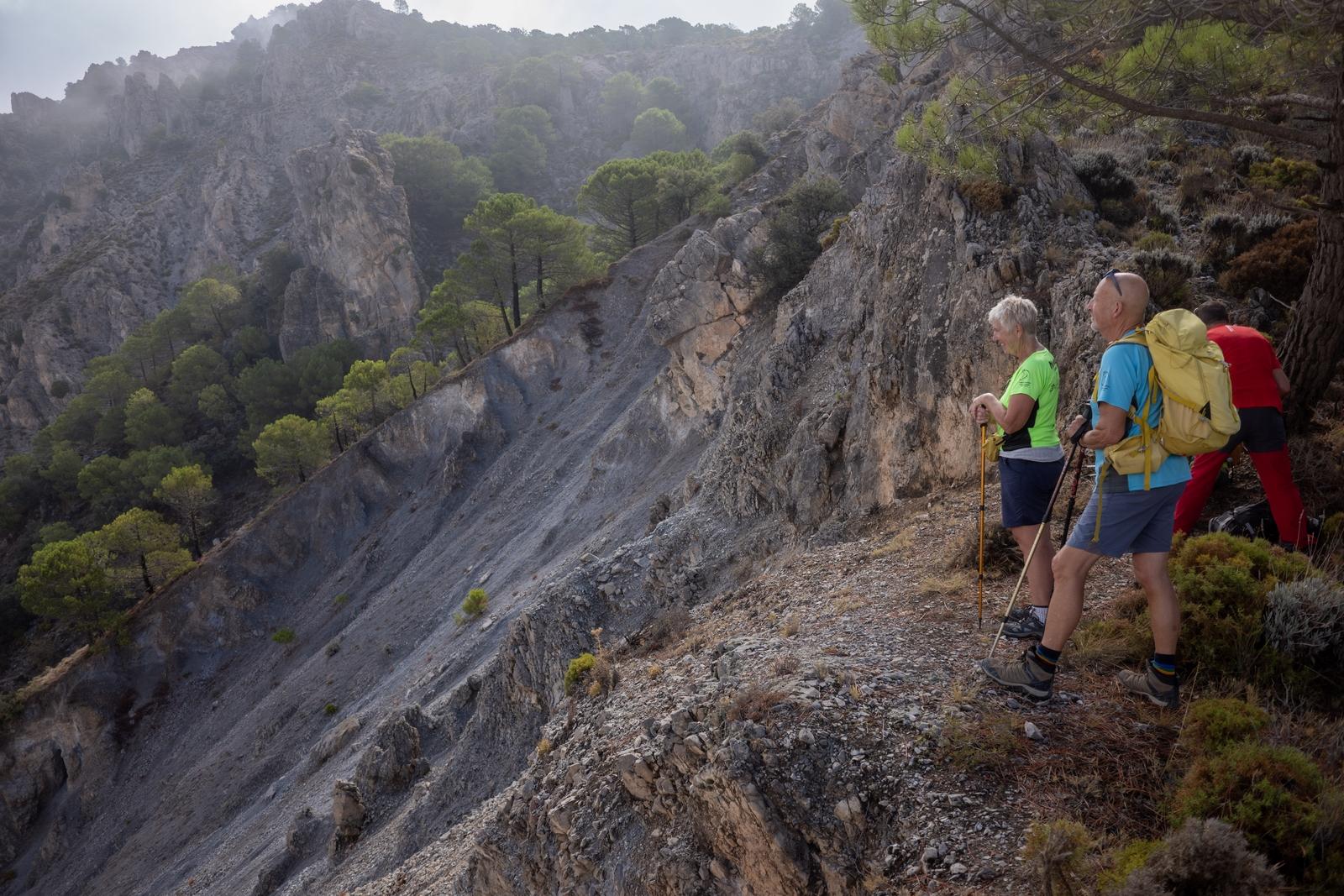
3 people on the right stand at a high viewpoint over an arid hillside with a few trees. Cloudier conditions higher

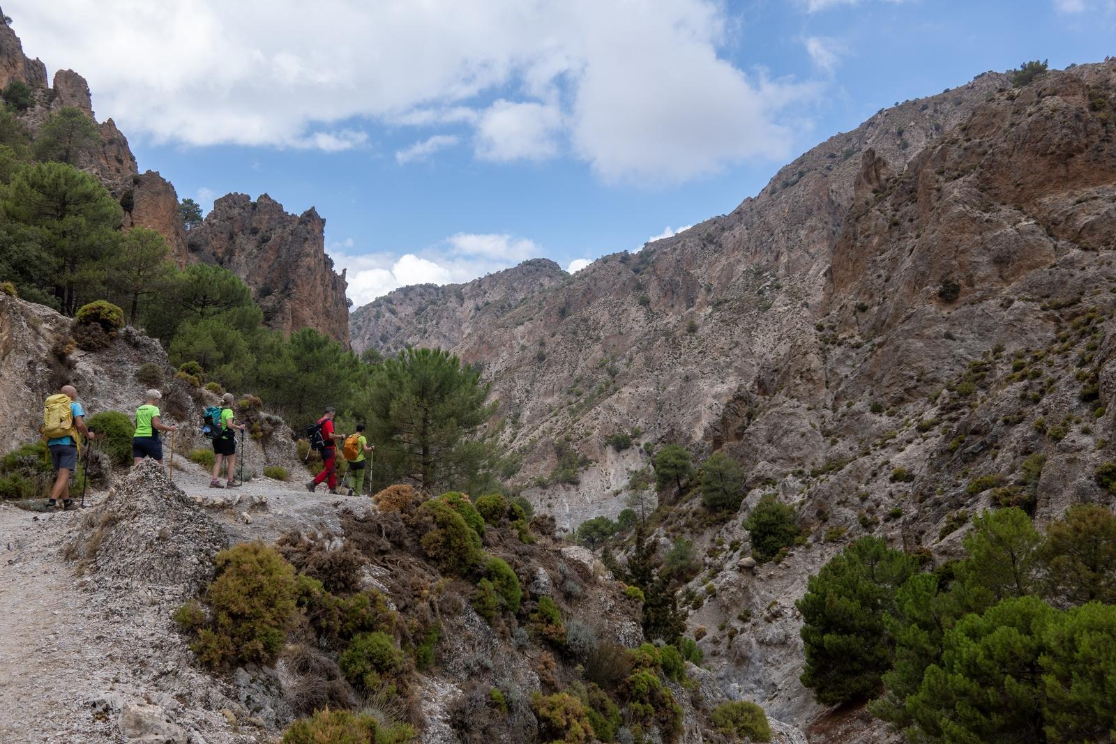
Hikers on a high mountain track on the right with a valley to their right and mountain beyond

People seen on a ledge crossing high above a arid valley. The photo is framed by trees and shrubs

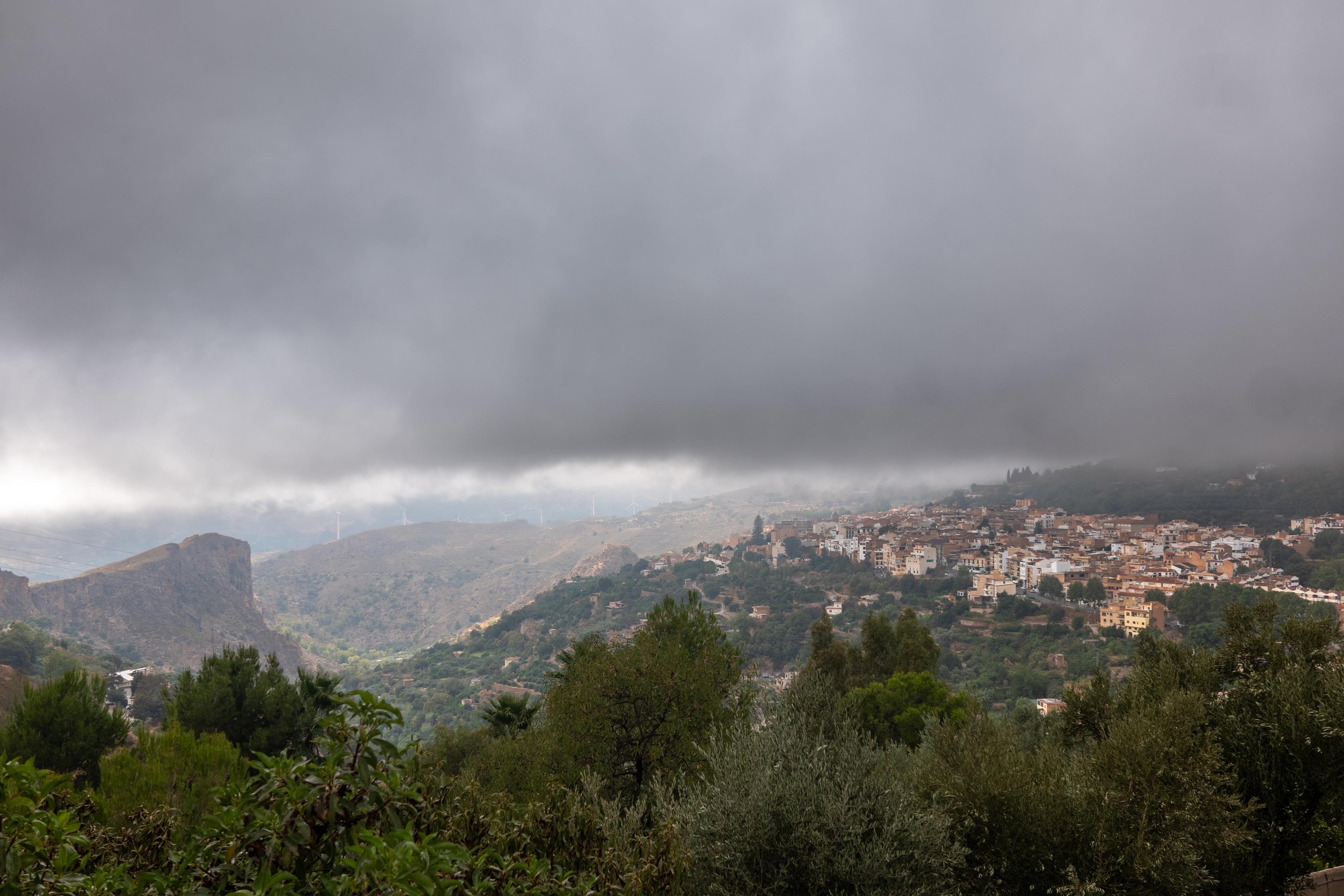
There's a village down there after all. Nice to have the first rains, since seemingly forever, today. Lanjarón, Alpujarras

Below a grey dense cloud level a cliff to the left and a village to the right appears. Trees in the foreground

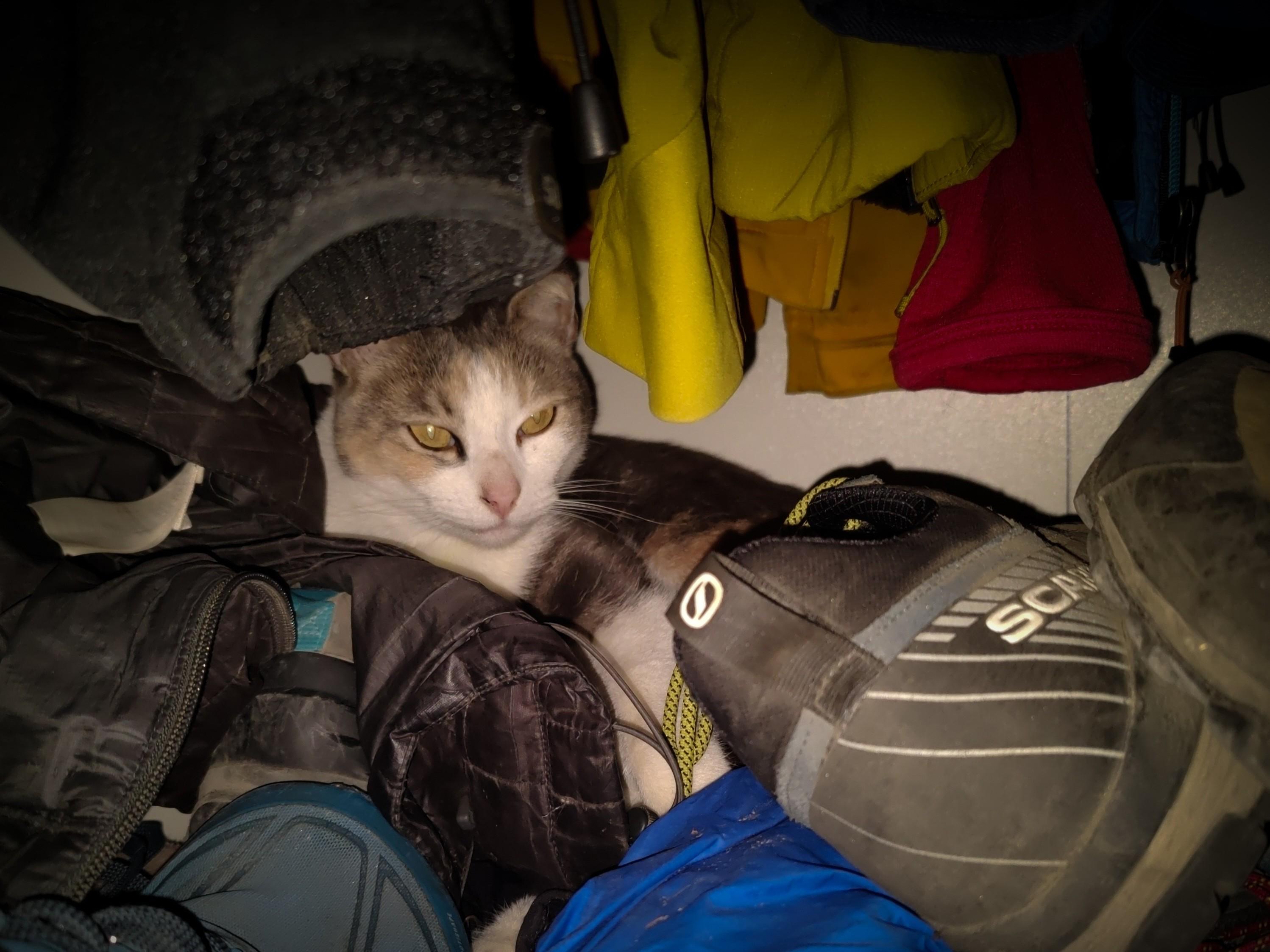
Cats are funny things aren't they? This is Sweep who this morning decided to open an old wardrobe full of smelly hiking gear and aged boots and settle down for a morning nap. Gave me a right start when I opened the door 🤣

A brown and white cat snuggles down between old hiking boots and clothes

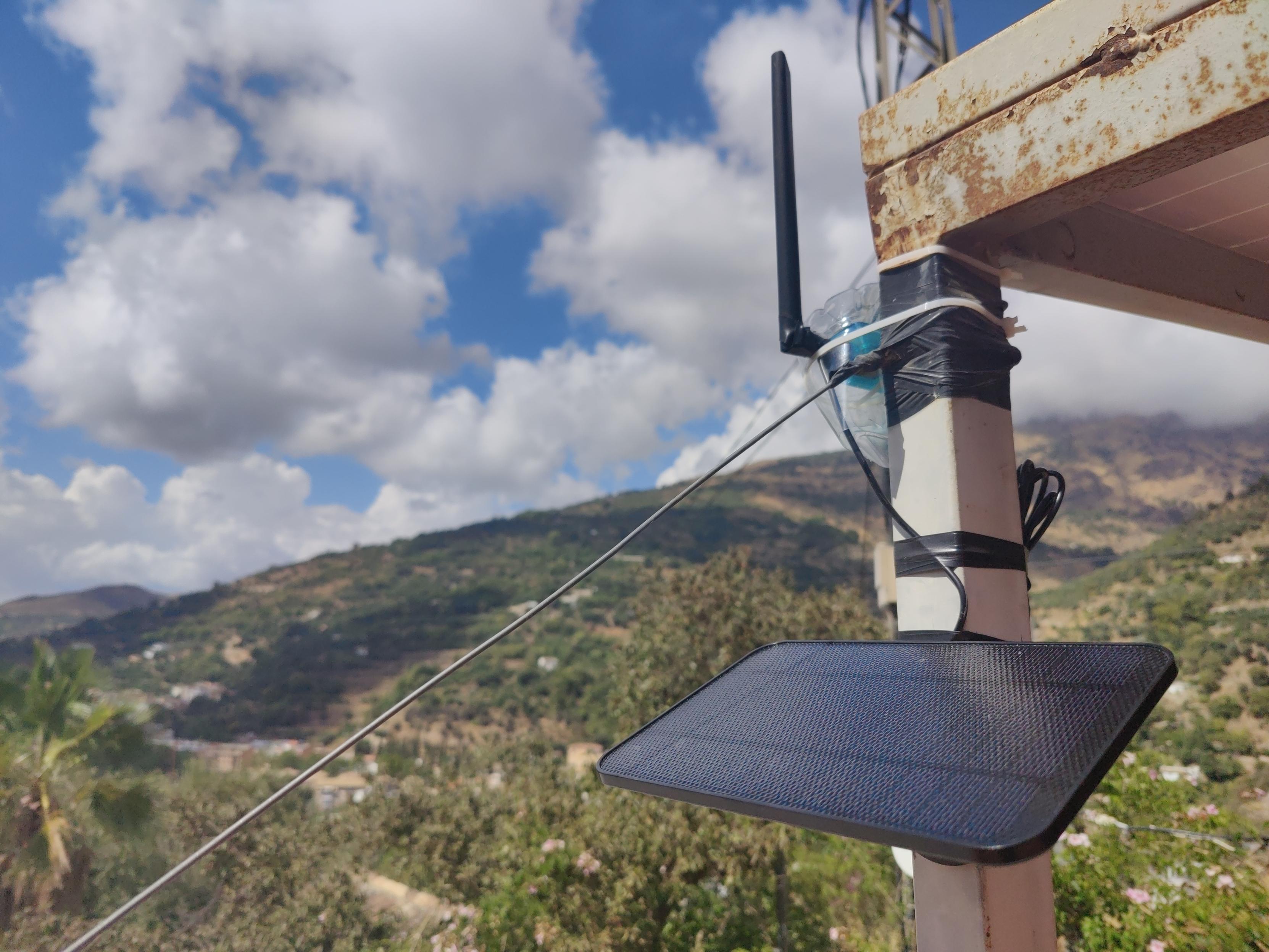
Repeater set up on roof. Contains a Heltec T114 low power consumption development board based on nRF52840 and SX1262 and supports and bluetooth 5.0. Has powerful long-distance capabilities.

Made weatherproof using an old water bottle. Attached using cable ties and a rusty pocket knife 🤣

Attached to a 4w solar panel with 2000 mAh battery charger (IP65)

A solar panel sits suspended below an old water bottle containing a small radio. A black antenna protrudes from the bottle. Green hillsides beyond. White clouds in a blue sky

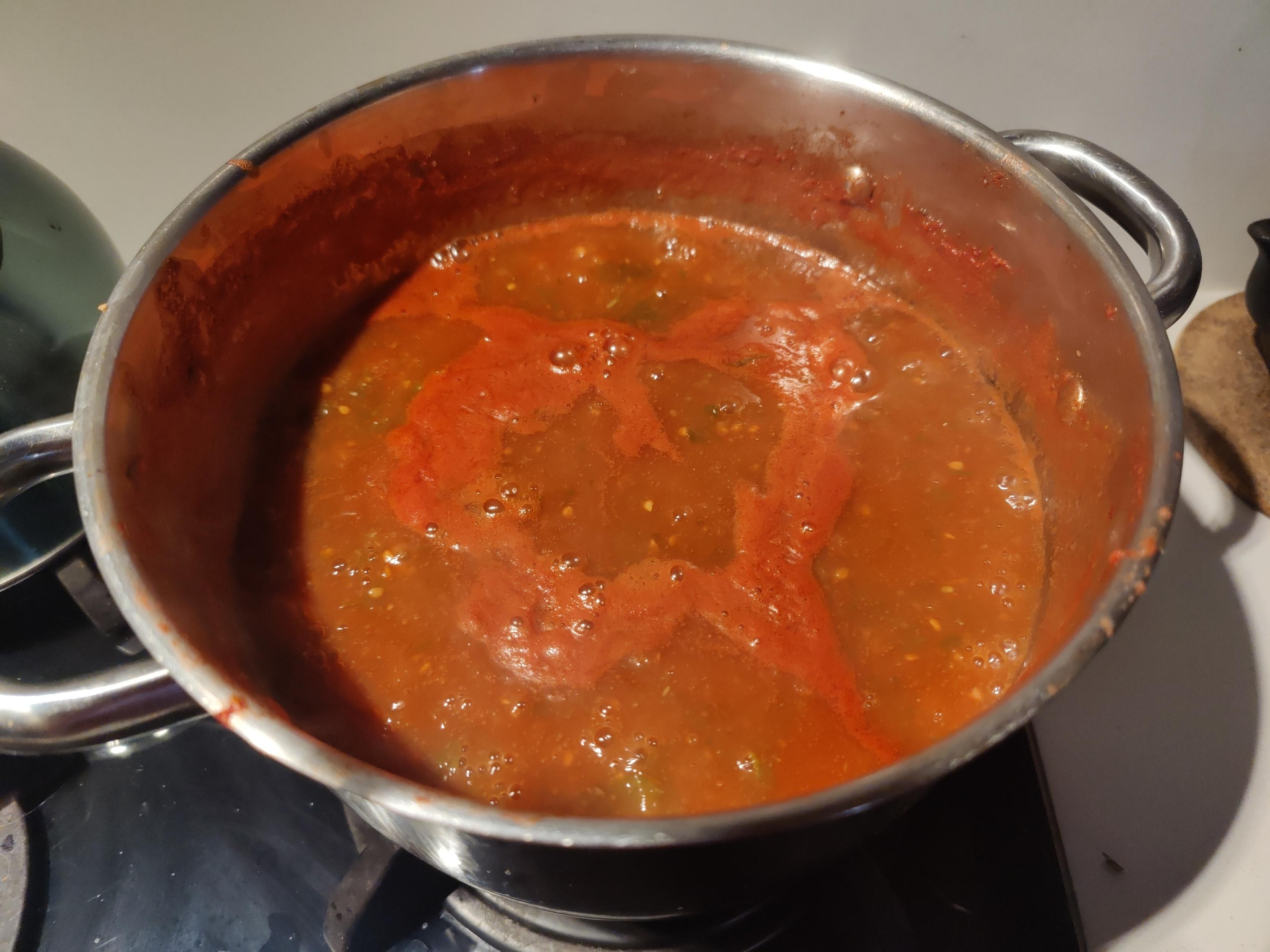
Got lots of ripe tomatoes donated by a friend that need something doing to them quickly. Passata Rustica it is then, flavoured with basil from the garden. Simple, quick and very tasty.

Vibrant red colours from tomatoes booking in a metal pan on a hob

Continuing quest for de-googling & less reliance on big-tech ... just bought a refurbished OnePlus 6 from Ebay (75€). No SIM, it is after all just a small computer. WiFi or hotspot for connections. Flashed LineageOS (de-Googled Android). Installed FDroid & a few necessary apps/PWAs from there ... Proton, Tuta, Element, Jerboa (Lemmy) & of course Mastodon. Turned off notifications. Zero bloat.

Used it for 6 hours navigation in the hills yesterday using CoMaps & location on. Battery 91%. Result

View