Posted on:
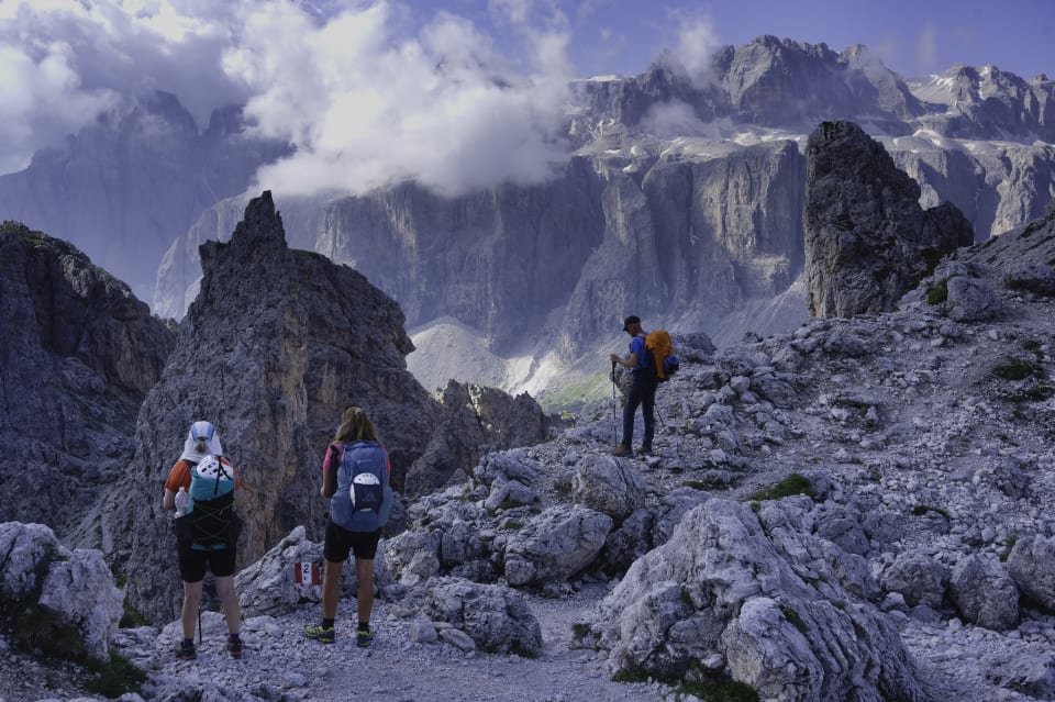
First of all let me say that this report doesn't cover the whole Alta Via 2 trek. If you are looking for a complete trek report and tips I can recommend you visit Brooke Beyond
This report details my experiences on the Alta Via 2 trek (AV2) in July 2024. My wife, Kiersten and I completed the first half on the AV2, but the possibility of stormy weather had us heading for lower ground. We spent the second week of our holiday mirroring the AV2 but at a lower level. We enjoyed this alternative experience but it was only the possibility of further unsettled weather and a touch of accumulated fatigue that kept us from rejoining the AV2 trail.
It is quite a long and comprehensive read but the hope is it may help give information to others who are thinking of visiting the area.
Firstly, a 15 minute video of the trek to set the scene
Contents
Day by Day
- Day 1 - Bressanone - Prose Hutte - Rifugio Genova
- Day 2 - Rifugio Genova - Rifugio Puez
- Day 3 - Rifugio Puez - Rifugio Pisciadu
- Day 4 - Rifugio Pisciadu - Rifugio Castiglioni Marmolada
- Day 5 - Rifugio Castiglioni Marmolada - Passo San Pellegrino (Hotel Costabella)
- Day 6 - Passo San Pellegrino to Rifugio Passo Valles
- Day 7 - Rifugio Passo Valles - Passo Rolle - San Martino di Castrozza (Hotel Miramonte)
- Day 8 - San Martino di Castrozza - Val Canali (Albergo Cant del Gal)
- Day 9 - Val Canali - Passo Cereda - Sagron (Hotel Chalet Giaseni)
- Day 10 - Sagron (Hotel Chalet Giaseni)
- Day 11 - Sagron - Fiera di Primiero (Hotel Castel Pietra)
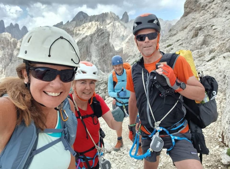
Our group - Jill, Kiersten, Pete and Richard
Getting there
We flew into Treviso (unfortunately with Ryanair). Treviso is a lovely city and the airport and train station are but a short walk or bus ride from each other. Our friends, Jill and Pete, were flying in the following morning so we stayed just outside the city at the Hotel Al Giardino (good). A 45 minute walk in the next day to the train station to meet our friends.
The train leg of our journey to the start at Bressanone (Brixen) involved a change of trains at both Vicenza and Verona. Unfortunately we got confused, got off at the wrong stop in Verona and missed our connection to Bressanone. What dummies. We alighted onto the platform to a deserted station reminiscent of the movie "Once Upon A Time in the West" (see video below) or Butch and Sundance arriving in Bolivia!
Feeling foolish we eventually connected with a later DeutscheBahn train to Bressanone. We had paid extra for reserved seating but in fact had to spend the entire two hours of the journey standing up with our bags in the aisle. Complaint incoming! Nice scenery though.
Early evening and, just a couple of hours later than scheduled, we arrived at the start point of the Alta Via 2 in Bressanone and went to our comfortable shared room accommodation (Hotel Alter Schlachthof). A nice night was spent enjoying Beer/Aperol Spritz refreshments sat in the street bars of this lively town.
Logistics
Train travel is reasonable value if you can organise the connections and you don't get off at the wrong stop!
However, we found local bus transport the most cost effective and easiest to use. Trentino Transporti has a good app that we found useful. Important to check in though prior to departure (as per airlines).
Prices we paid:
- Passo Rollo to San Martino di Castrozza €2 per person
- Fiera di Primiero to Feltre €6 per person
- Feltre to Treviso €6 per person
Refuges
In general they all are of a very high standard but need to be reserved in advance especially for July and August. This undoubtedly means a lack of flexibility when it comes to route choice or weather dependent objectives. It's a bit rigid.
All refuges offer some small dormitory options, some even with personal rooms. Food is wholesome and good in most cases although we did find the prices high. I guess being the only alternative around in most cases means that they can charge what they want? In the north the food is Germanic/Italian and the further south you get it slowly turns to pure Italian.
All refuges had free WiFi except the Rifugio Rosetta which has us worried for a while at the lack of communication from our friends.
Expect to pay between €80 and €90 per person per night half board. Being a member of an alpine club will get you discounts (maybe €17/night) in CAI affiliated refuges.
Hotels
Using Booking we stayed at hotels in the towns of San Martino di Castrozza (Miramonti) and in Fiera di Primiero (Hotel Castel Pietra). Both super lively towns with lots of bars and restaurants around. We ate out and enjoyed staying there. Much better value than eating at the hotels themselves.
We also used Booking to reserve our accommodation at Cant del Gal (Val Canali) and at Hotel Chalet Giaseni (Sagron). These were the only options around, lovely places to stay but expensive.
We spent the final two nights in the town of Feltre (Via Paradise 32 and Hotel Doriguzzi)
Breakfasts throughout were amazing.
Expect to pay between €100 and €160 for a double room in the towns for bed and breakfast. Cheaper options will exist if you search around.
Meeting fellow thru hikers
One of the nice things about long distance trails like the one were on, is the people from all walks of life that you meet along the way. The common denominator for all is the trail itself and it unites.
We have met people from the US, Korea, Germany, UK, Spain and Romania amongst others. Each night we meet up at the next refuge and talk about the day adventures and discuss plans for the day to come. Much chat and ideas about lightweight gear normally ensues. An eye is also kept out for them at the next refuge. They become trail mates and a certain camaraderie develops.
Packing List
We had to carry all our belongings for two weeks on our backs. You have to be ruthless. Our base weight (excluding water) was 6.5 kilograms.
Looking back on our itinerary and the condition we encountered, we didn't really need Via Ferrata gear nor Micro Spikes. In Mid July there was no difficult late season snow to cross that wasnt soft. The protected cable sections were easy (Grade 1 Via ferrata) so no need for gear. Those items would have saved us 700 grams. I also didnt use a puffer jacket (150g) nor trousers (229g).
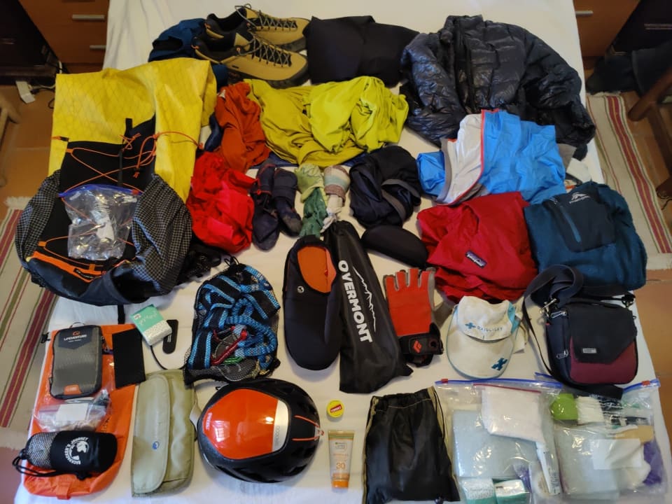
All the gear laid out
Aftermath
First week was on the Alta Via 2 and the second week making our own way on deserted trails, over narrow passes and alpine pastures. My watch tells me we have covered 130 kilometres with over 7000 metres of ascent/descent. No wonder the old legs are showing signs of accumulated fatigue.
And what a blast it has been. We loved it. Even carrying all our gear over the mountains for two weeks! Apart from the dramatic scenery we have met some interesting people, stayed in incredible places and eaten great food. We are already thinking of coming back and using some refuges as a base for via ferrata (see below).
Thanks to Jill and Pete for their organisation and companionship on the AV2 and of course to Kiersten for being the ultimate hiking buddy.
Future Plans
Our bodies when we returned to Spain told us we had done the right thing by having an easier second week. We were both tired and worn out, not only by the hiking, but by the travelling too.
However it did leave us with a feeling that we had missed out on some of the more technical sections of the AV2. To this end we intend to return, maybe in September 2025 to do a series of pure via ferrata routes in the Pale de San Martino range. We can use a couple of refuges as a base and from there do hikes or more technical via ferrata, without the constant pressure to get from A to B each day. To this end, the AV2 trek has been a very useful source of information.
Day 1 - Bressanone - Prose Hutte - Rifugio Genova
16 km and 1067 m ascent
This was supposed to be a gentle introduction, but I still found this a tough first day on the trail, even though we utilised the gondola from San Andrea to get to 2000 metres rather easily and rapidly. A steady uphill saunter stretched the legs and got us up to the Plose Hütte within the hour. To the south we could see many spectacular, jagged mountain ranges disappearing into the distance. Our route to come over the following days.
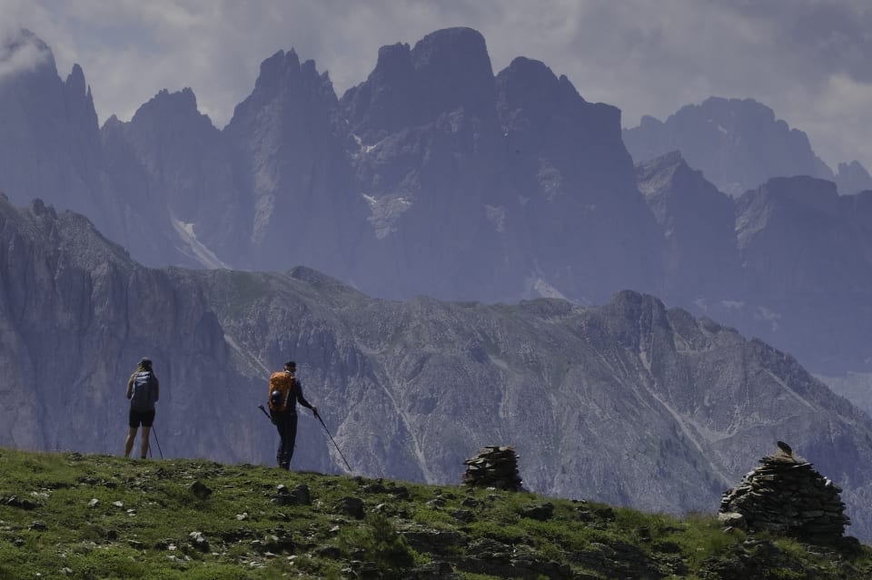
The Odle Pinnacles on descent from Plose
Then it was a descent initially through open alpine pastures and then steep forested hillsides to the Passo Rodella where we probably made the mistake of stopping at the Rodelalm (1880m) for apfel strudel and cold beer. Enjoyable but a mistake nevertheless, because the following two hours were very hard work in the afternoon heat and humidity as we ascended steeply to the pass at Forcella de Putia (2360m).
The walk round the head of the green upper valleys to the Rifugio Genova (2306m) was delightful, amid swathes of wild flowers and the adorable, chirping marmots.
Day 2 - Rifugio Genova - Rifugio Puez
10 km and 838 m ascent
A bright clear morning as we left the refuge to traverse the jagged mountains of the Parco Naturale Puez Odle range. We stopped at the delightfully situated Medalges-Alm for a coffee before continuing our ascent, now more steeply, zig zagging up towards the pass of Forcella della Roa (2610m). This is a dramatic place with mountains looming in all directions.
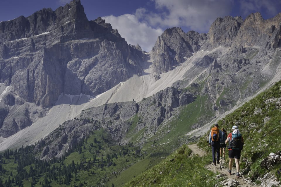
Approaching the Forcella della Roa
Here we had a choice. To continue on the AV2 or take a shorter, more direct option that would involve our first taste of handling via ferratas. Of course, we chose the latter. The access path to the via ferrata was probably the worst part with steep loose terrain all around. At the base of a cliff we geared up and started ascending fixed cables. In reality this was pretty simple, much easier than the via ferratas I was used to back home in Spain. Just a question of clipping into the cable for protection and then not letting go! There were quite a few cable protected sections and, towards the end, a short ladder to climb. Good fun that we all enjoyed. All too quickly we emerged on the broad slopes of the Forcella Nives (2745m).
The long descent from the barren mountain uplands to the green meadows near the Rifugio Puez (2475m) was a delight and very straightforward. An interesting and rewarding day crossing the Odle mountains.
Day 3 - Rifugio Puez - Rifugio Pisciadu
10 km and 809 m ascent
Kiersten and I gave breakfast a miss and opted for an early start on the trail. A glorious romp around the rim of the Puez plateau with glorious mountain views in the early morning sunlight. Saw nobody until Jill and Pete caught up with us as we reached the Crist de Crispeina pass at 2470m.
Contouring around the head of the Val de Chedul we easily reached the spectacular Forcella de Cir pass (2460m). The Cir pinnacles were an amazing sight especially with the backdrop southwards to the Piz Boe and Marmolada ranges. Up to now the four of us had walked in relative silence, enjoying the isolation and vistas. On the descent towards Val Gardena this all changed when we were met by a constant stream of noisy humanity coming uphill to meet us. The contrast was massive and somewhat disturbing after the quiet of the mornings progression.
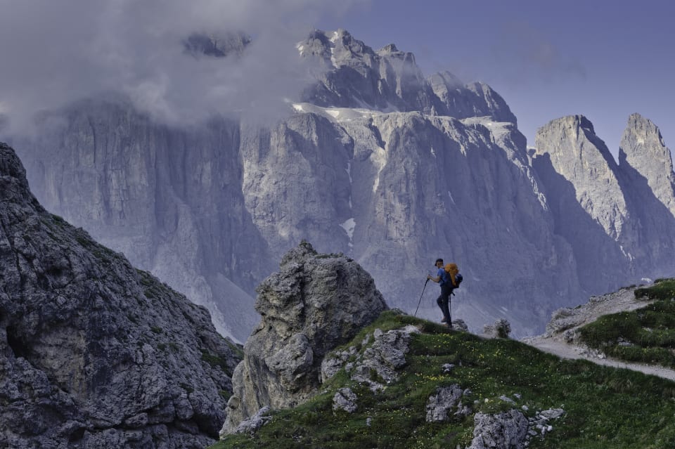
The ramparts guarding the Piz Boe range from near Forcella de Cir
We stopped for drinks at the popular, but expensive, "Jimmy's" restaurant before heading down to the busy road pass at Passo Gardena (2110m). We didn't loiter long as we had a big ascent left to do but we were glad to leave the pass with its loud motor bikes, cars and overly vocal people.
The difficult part of the day was reserved until the end. This was the climb up the Val Setus. This deep gully is steep, loose and still contained some small snow crossings. To make matters worse the path had plenty of people on it. It all came to a bit of a standstill at the protected cable section as people dithered and dallied about how to progress upwards. Once past these people we started to enjoy the steep, scrambly ascent. After 400m of gnarly ascent at 2620m we emerged onto flat ground and our overnight destination, the Rifugio Pisciardu (2587m) but a stone throw away.
Yes, a tough day, the beers on the terrace were very welcome. Overnight the rains came down.
Day 4 - Rifugio Pisciadu - Rifugio Castiglioni Marmolada
16 km and 935 m ascent
Threat of afternoon thunderstorms had us leaving refuge early, without breakfast, at 6am. Had these glorious mountains to ourselves for the next 4 hours as we climbed steep snowfields and scrambled along cable assisted passages crossing over the alti plano, barren, lunar landscape of the Sella Group.
We climbed up to the highest point of the whole Alta Via 2 at 2960m and then passed west of l'Antersass (2906m) on an entertaining but easy cable assisted traverse to reach the Rifugio Boe. This very modern refuge made a pleasant stop for a coffee break.
We had made the prior decision to use the cable car descent from Sass Pordoi and save our legs the 600m descent to the road pass at Passo Pordoi. The traverse to the cable car became more and more crowded with day trippers the closer we got to the Rifugio Forcella Pordoi.
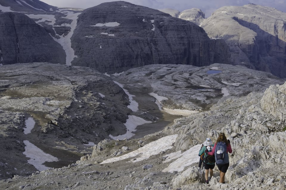
Dropping down onto the Sella plateau
The cable car was most welcome but, as with previous road passes, the motor bikes, cars, shouts and screams at Passo Pordoi contrasted greatly with our early morning walk in solitude and silence.
Worse was to come as the next stage took us into a nightmare. Heading south eastwards we arrived to loud music blaring out of the Rifugio Baita Fedarola. We didn't stop. The next stage to the Rifugio Veil dal Pan is most beautiful but, again, spoilt by the amount of people on the trail. The green alpine pastures of the Viel Dal Pan contrast with the glaciers and snows of the Marmolada mountain range to the south. We did stop at the refuge for a beer though.
The final section down to Lago di Fedaia and the Rifugio Castiglione Marmolada was lovely and arrival at the lakeside refuge most welcome.
Day 5 - Rifugio Castiglioni Marmolada - Passo San Pellegrino (Hotel Costabella)
15 km and 1065 m ascent
We couldn't see the point of walking close to a road so we "cheated" and got a taxi to take us down the 9 kilometres to Malga Ciapela at 1450m, our start point for the day. I thought this would make a very tough day easier but as it turned out, it was still a very hard day with over 1000 metres of ascent.
The low altitude start point meant that there was heat and humidity in abundance as we ascended through the pine forests. Together with walking on forest roads meant for an uncomfortable first hour. These dirt roads eventually turned into grassy trails and as we broke out of the tree line we could see the pass ahead. The Forca Rossa (2480m).
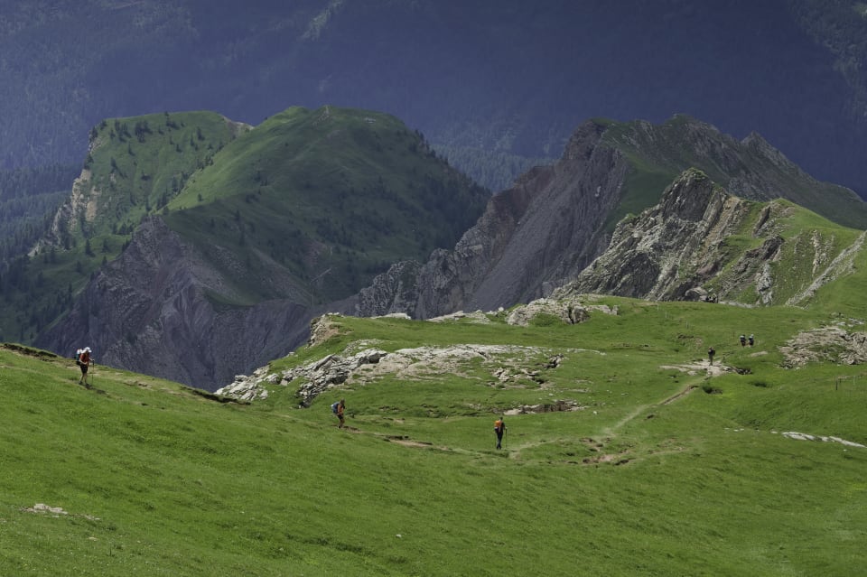
The green slopes south west of Forca Rossa
The interminable zig zags (there were 15, I counted them) that led up to the pass were tiring on legs that were beginning to feel the strain of the previous 4 days accumulated kilometers. A rest at the pass and then it was a nice gentle descent through colourful alpine meadows lined with wild flowers to the Rifugio Fuciade (1980m), where we stopped for a drink before continuing easily down to our overnight at the Hotel Costabella at Passo San Pellegrino (1920m).
5 days on the trot were beginning to tell. Thankfully we were near the half way point and had built in 2 half days for the next section to the Rifugio Mulaz. I was looking forward to a short break and easier days to let the legs and lungs recover before the difficulties still to come.
Day 6 - Passo San Pellegrino to Rifugio Passo Valles
6 km and 24 m ascent
Short rest day today so a lie in, leisurely breakfast, gondola uplift and then a 6 kilometer downhill stroll to our overnight refuge. All very pleasant and easy. Just arrived at the pleasant Rifugio Passo Valles at midday as the heavens opened and an incredible rain and hail storm erupted. What luck we had not been caught up high. I tucked into a "gnocchi con ricotta affumicata" (delicate potato dumplings with smoked cheese) and listened to the thunder.
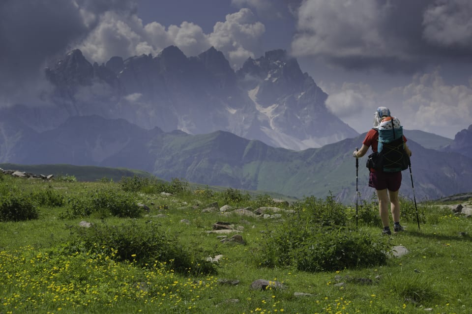
The impressive Pale de San Martino group ahead
Multiple weather alerts suggested we were in for a few days stormy weather which suggested bad weather building during the morning and appearing in the afternoons. I think Kiersten and I didn't really fancy running ahead of the storms every day over the Pale di San Martino range. We made the decision that the following day we would divert from the AV2 at this point and keep at lower level until the weather cleared and we could rejoin. Sadly we parted with our companions at this point as Jill and Pete took the decision to keep on the AV2.
Day 7 - Rifugio Passo Valles - Passo Rolle - San Martino di Castrozza (Hotel Miramonte)
11 km and 526 m ascent
It was overcast with low clouds on the morning of our departure from Passo Valles. Pete and Jill had left the refuge early, we had a late breakfast while we finalised our route to Passo Rolle and onwards to San Martino di Castrozza.
Following the Refugio Mulaz trail we arrived in 40 minutes at the Forcella Venegia pass. Here we started dropping slowly down and contouring the hillsides and alpine meadows. There were no others on this beautiful trail until we reached the base of the Val Venegia at the stream of the Torrente Travignolo.
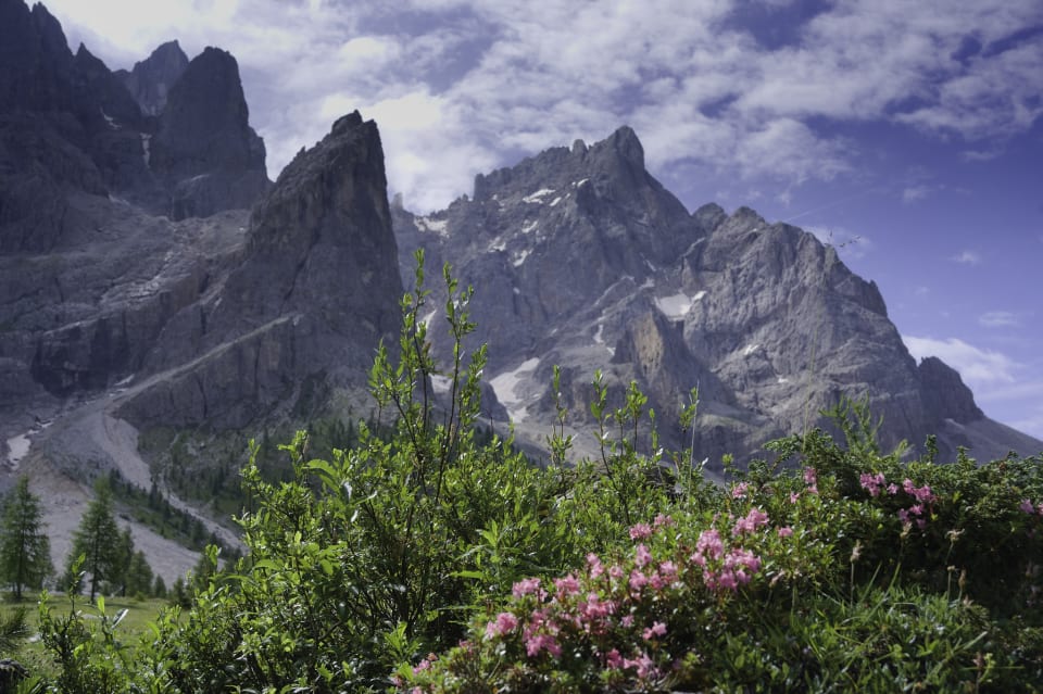
Colour contrast in the Val Venegia
The skies seemed to be clearing and dramatic mountains appeared above. The rains had cleared. Instead of following a dirt road (I hate them!) we decided on a faint trail through the woods east of Monte Castellaz (2333m). This brought us out at a broad pass above Passo Rolle which was then easily reached. From there we caught a local bus down to the chic alpine resort of San Martino di Castrozza and to our hotel (Hotel Miramonti).
Day 8 - San Martino di Castrozza - Val Canali (Albergo Cant del Gal)
13 km and 511 m ascent
Next morning we could have easily rejoined the AV2 by catching the gondola and then short walk to Rifugio Rosetta. But, we didn't. Although bad weather had not materialised it was still forecast. I also suspect Kiersten and I had enjoyed staying in our own hotel room rather than shared refuge accommodation. The previous day has been a nice change of scene for us and we had really enjoyed it.
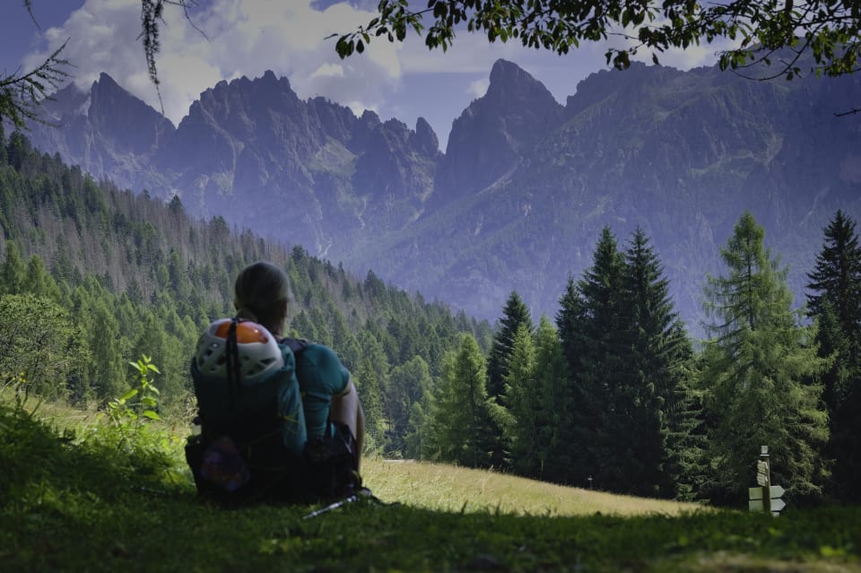
Sat taking in the views at the Forcella Col dei Cristi
We took the decision to keep on at a lower level and aim for the Hotel/Alberto Cant de Gal at the entrance to the Val Canali valley. From there it wasn't far to regain the AV2 at the Rifugio Treviso if desired.
Heading south east from San Martino we passed through mature forests & stunning alpine meadows, again hardly meeting another soul. A few hours later we emerged at the Forcella Col dei Cistri (1579m) and the magnificent peaks of the Val Canali appeared ahead.
A downhill trudge brought us to the gushing waters of the Rio Pradadali and just beyond, our welcoming hotel.
Day 9 - Val Canali - Passo Cereda - Sagron (Hotel Chalet Giaseni)
11 km and 394 m ascent
Today we clocked over the 100km accumulated mark as we made our way to Passo Cereda. We had decided against heading up to Rifugio Treviso. Again, possible bad weather and we had met others bailing out of that section of the AV2 route. We had also got into a routine of making our own way. My legs were beginning to ache on the uphill stretches due to accumulated fatigue. With rain in the air, we took the sensible option.
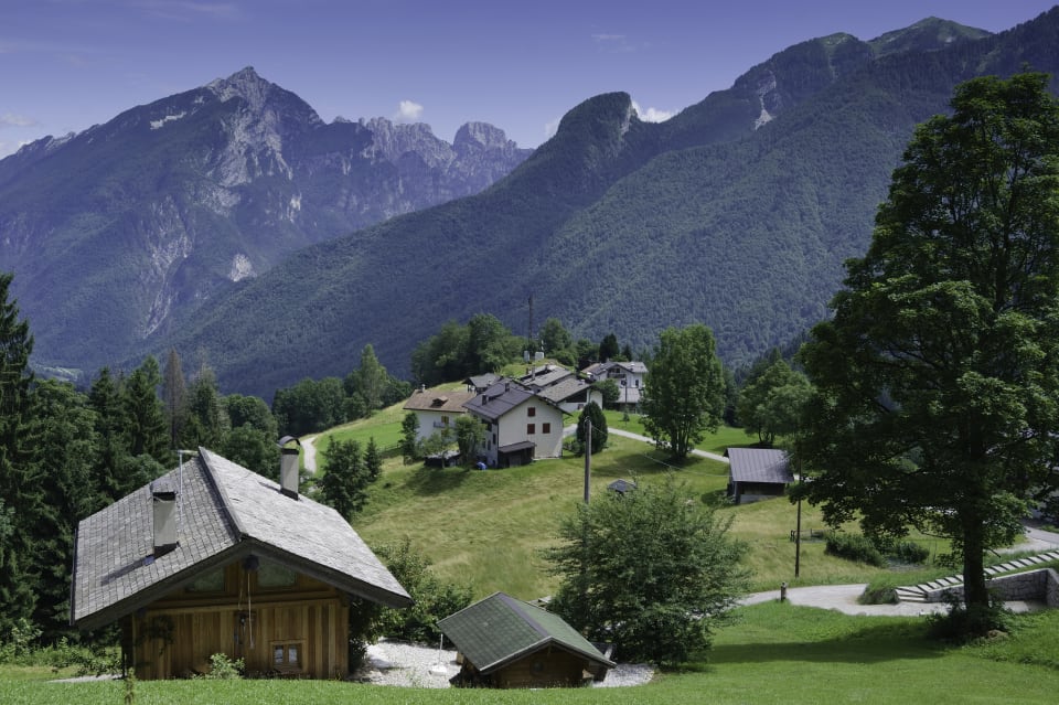
The green alpine pastures and villages near Sagron
Our route took us around the southern slopes of the range through forests and trails towards Passo Cereda. A quick stop there and then it was on another 4 kilometres to a little gem of a hotel we found. Yes, no refuge for us tonight, a bit of a treat. Hotel Giasenei in the tiny hamlet of Sagron, situated on a raised alpine meadow surrounded by stunning peaks. Just glorious.
We stayed here for two nights as bad weather was certainly coming in. We planned for just a short local hike the following day.
Day 10 - Sagron (Hotel Chalet Giaseni)
Local walk: Val delle Moneghe 7 km and 324 m ascent
Local hike near Sagron today as heavy rain around. We did a 7km loop to the Val delle Moneghe. A marvellous viewpoint and evidently a winter ice climbing playground. Then on up through the forest to the refuge of the same name. Bit hot and humid!
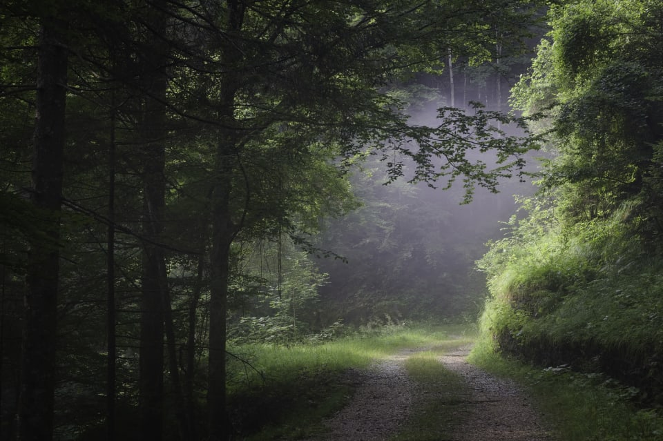
A gap in the forest filled with morning mists
Got caught in heavy rain after leaving refuge but was all downhill back to our hotel.
Day 11 - Sagron - Fiera di Primiero (Hotel Castel Pietra)
14 km and 531 m ascent
Leaving the hotel we retraced our steps up to join the AV2 above Passo Cereda. Instead of dropping down to the pass we continued upwards and westwards to arrive at the lovely Malga Fossetta refuge (1550m). Here we had coffee and were entertained by the local refuge kitten.
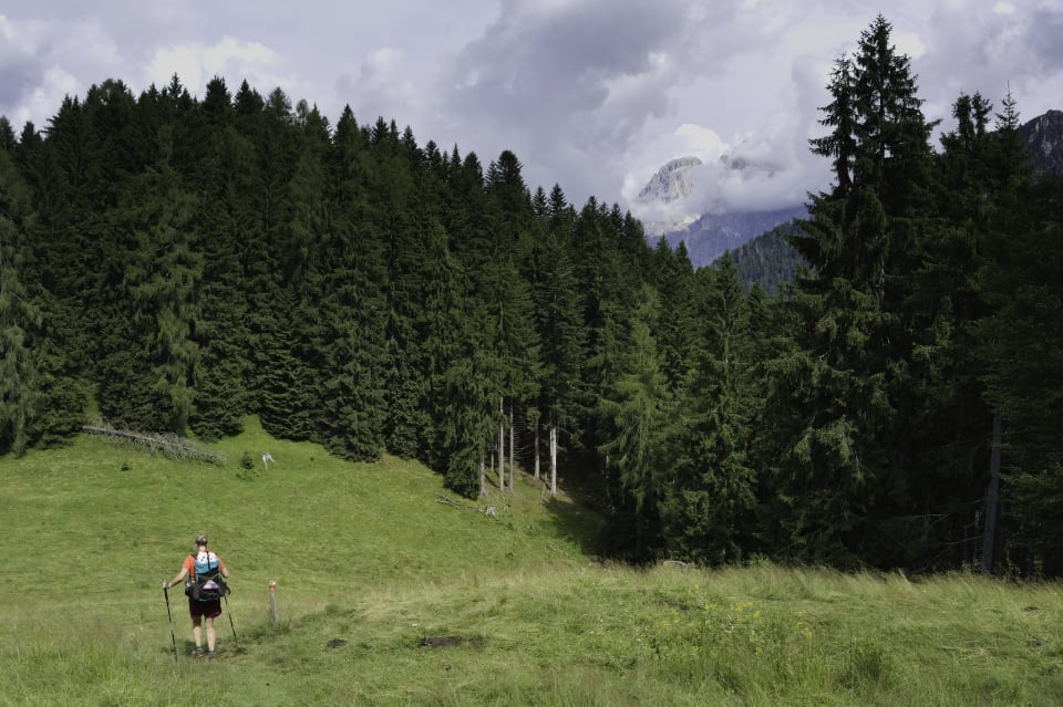
Decending green paths towards Fiera di Primiero
Descending slowly through beautiful woodland glades and forested areas we came down to the lovely town of Fiera di Primiero where we easily found our hotel for the evening.
And that was it for our adventure. A fitting end to the trek. All that remained was a celebratory Aperol Spritz and pizza. The next day we were to catch the local bus to Feltre where we would be reunited with our companions.
Tagged with:
More posts: